1748 Carissa Dr Unit 67 Conyers, GA 30094
Estimated Value: $399,267 - $548,000
5
Beds
4
Baths
3,535
Sq Ft
$138/Sq Ft
Est. Value
About This Home
This home is located at 1748 Carissa Dr Unit 67, Conyers, GA 30094 and is currently estimated at $486,317, approximately $137 per square foot. 1748 Carissa Dr Unit 67 is a home located in Rockdale County with nearby schools including Shoal Creek Elementary School, Edwards Middle School, and Heritage High School.
Ownership History
Date
Name
Owned For
Owner Type
Purchase Details
Closed on
Dec 23, 2005
Sold by
Bonner Bldrs Inc
Bought by
Mair Orville and Mair Fredericka
Current Estimated Value
Home Financials for this Owner
Home Financials are based on the most recent Mortgage that was taken out on this home.
Original Mortgage
$342,600
Outstanding Balance
$191,573
Interest Rate
6.28%
Mortgage Type
New Conventional
Estimated Equity
$294,744
Create a Home Valuation Report for This Property
The Home Valuation Report is an in-depth analysis detailing your home's value as well as a comparison with similar homes in the area
Home Values in the Area
Average Home Value in this Area
Purchase History
| Date | Buyer | Sale Price | Title Company |
|---|---|---|---|
| Mair Orville | $343,100 | -- |
Source: Public Records
Mortgage History
| Date | Status | Borrower | Loan Amount |
|---|---|---|---|
| Open | Mair Orville | $342,600 |
Source: Public Records
Tax History Compared to Growth
Tax History
| Year | Tax Paid | Tax Assessment Tax Assessment Total Assessment is a certain percentage of the fair market value that is determined by local assessors to be the total taxable value of land and additions on the property. | Land | Improvement |
|---|---|---|---|---|
| 2024 | $8,548 | $218,000 | $37,080 | $180,920 |
| 2023 | $5,531 | $136,480 | $24,600 | $111,880 |
| 2022 | $5,237 | $129,080 | $24,600 | $104,480 |
| 2021 | $5,189 | $129,080 | $24,600 | $104,480 |
| 2020 | $5,467 | $128,280 | $23,800 | $104,480 |
| 2019 | $4,191 | $93,360 | $10,640 | $82,720 |
| 2018 | $4,210 | $93,360 | $10,640 | $82,720 |
| 2017 | $3,854 | $84,680 | $10,640 | $74,040 |
| 2016 | $3,854 | $84,680 | $10,640 | $74,040 |
| 2015 | $3,858 | $84,680 | $10,640 | $74,040 |
| 2014 | $3,899 | $84,680 | $10,640 | $74,040 |
| 2013 | -- | $117,440 | $20,000 | $97,440 |
Source: Public Records
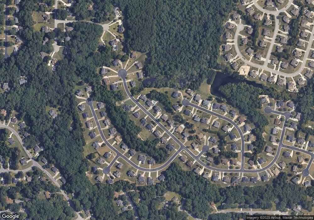
Map
Nearby Homes
- 1700 Carissa Dr
- 2318 Hedgeview Rd
- 2289 Amberbrook Dr SW
- 0 Granade Rd SW Unit 10430605
- 0 Granade Rd SW Unit 10430608
- 0 Granade Rd SW Unit 23687414
- 0 Granade Rd SW Unit 10430607
- 0 Granade Rd SW Unit 10430610
- 0 Granade Rd SW Unit 10430604
- 1509 Shoal Creek Dr SW
- 2095 Flat Shoals Rd SW
- 1779 Granade Rd SW
- 1841 Flat Shoals Rd SW
- 2477 Laurel Ridge Place SW
- 1993 Old Smyrna Rd SW
- 2956 Loch Lomond Dr
- 1400 Ebenezer Rd SW
- 2505 Laurel Ridge Place SW
- 1377 Hill Dr SW
- 2055 Smyrna Rd SW
- 1748 Carissa Dr
- 1746 Carissa Dr
- 1750 Carissa Dr
- 1940 Buford Ct Unit 86
- 1940 Buford Ct
- 1754 Carissa Dr
- 1744 Carissa Dr
- 1945 Buford Ct
- 1749 Carissa Dr
- 1747 Carissa Dr
- 2210 Boxwood Cir
- 2202 Boxwood Cir
- 2213 Boxwood Cir
- 2206 Boxwood Cir
- 2229 Boxwood Cir Unit 75
- 2229 Boxwood Cir
- 2233 Boxwood Cir Unit 74
- 2233 Boxwood Cir
- 2218 Boxwood Cir
- 2241 Boxwood Cir