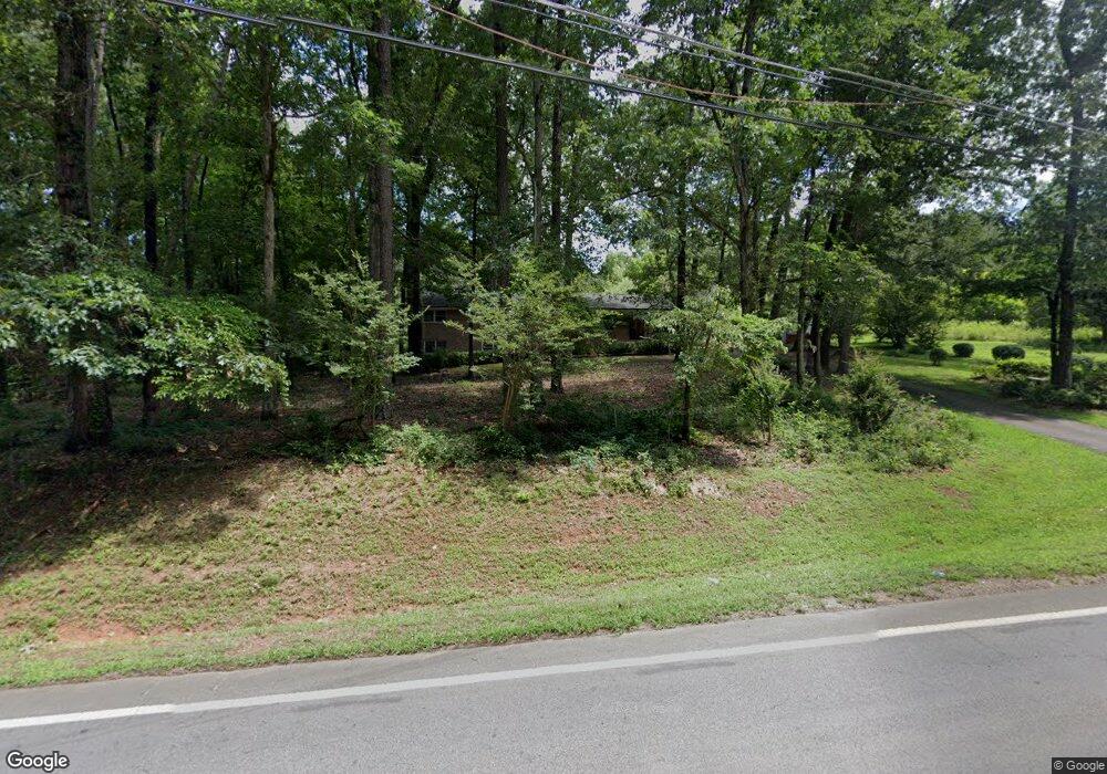
1748 Highway 82 Winder, GA 30680
Estimated Value: $407,619 - $437,000
3
Beds
2
Baths
1,605
Sq Ft
$263/Sq Ft
Est. Value
About This Home
This home is located at 1748 Highway 82, Winder, GA 30680 and is currently estimated at $422,540, approximately $263 per square foot. 1748 Highway 82 is a home located in Barrow County with nearby schools including Statham Elementary School, Bear Creek Middle School, and Winder-Barrow High School.
Ownership History
Date
Name
Owned For
Owner Type
Purchase Details
Closed on
Apr 14, 2021
Sold by
Carter Thomas David Estate
Bought by
Carter Matthew Grant
Current Estimated Value
Purchase Details
Closed on
Nov 8, 2019
Sold by
Carter Thomas David
Bought by
Carter Mary S
Create a Home Valuation Report for This Property
The Home Valuation Report is an in-depth analysis detailing your home's value as well as a comparison with similar homes in the area
Home Values in the Area
Average Home Value in this Area
Purchase History
| Date | Buyer | Sale Price | Title Company |
|---|---|---|---|
| Carter Matthew Grant | -- | -- | |
| Carter Mary S | -- | -- |
Source: Public Records
Tax History Compared to Growth
Tax History
| Year | Tax Paid | Tax Assessment Tax Assessment Total Assessment is a certain percentage of the fair market value that is determined by local assessors to be the total taxable value of land and additions on the property. | Land | Improvement |
|---|---|---|---|---|
| 2024 | $3,183 | $132,668 | $64,408 | $68,260 |
| 2023 | $3,657 | $132,668 | $64,408 | $68,260 |
| 2022 | $3,011 | $105,884 | $64,408 | $41,476 |
| 2021 | $2,520 | $83,424 | $45,341 | $38,083 |
| 2020 | $2,109 | $69,424 | $34,734 | $34,690 |
| 2019 | $2,039 | $69,424 | $34,734 | $34,690 |
| 2018 | $2,013 | $69,424 | $34,734 | $34,690 |
| 2017 | $1,869 | $64,204 | $34,734 | $29,470 |
| 2016 | $1,823 | $64,204 | $34,734 | $29,470 |
| 2015 | $1,829 | $64,204 | $34,734 | $29,470 |
| 2014 | $1,306 | $46,490 | $17,020 | $29,470 |
| 2013 | -- | $44,480 | $17,019 | $27,460 |
Source: Public Records
Map
Nearby Homes
- 1642 White Oak Dr
- 1917 Hearthstone Ct
- 1916 Hearthstone Ct
- 1914 Hearthstone Ct
- 1423 Red Oak Way
- 1593 Highway 82
- 1415 Red Oak Way
- 2075 Georgia Highway 211
- 2075 Highway 211 NE
- 310 Jacobs Ln
- 315 Paige Way
- 0 Georgia 330
- 29 Nunnally Rd SE
- 2141 Kirkland Dr
- 162 Ashton Ln
- 532 Hemlock Dr
- 330 Anchors Way
- 206 Ballast Trail
- 410 Tori Dr
- The Baxley Plan at Statham Place
- 1739 Highway 82
- 1722 Highway 82
- 1775 Highway 82
- 1851 Highway 211 NE
- 1804 Highway 82
- 1804 Georgia 82
- 1707 Highway 82
- 1823 Highway 82
- 1817 Highway 211 NE
- 0 Hwy 211 and 82 Unit 7226020
- 0 Hwy 211 and 82 Unit 2522139
- 1849 Highway 211 NE
- 35 Ross Rd
- 0 Highway 82
- 0 Hwy 211ne
- 000 Highway 211 NE
- 1850 Highway 211 NE
- 1677 Highway 82
- 1820 Highway 211 NE
- 1703 Highway 82