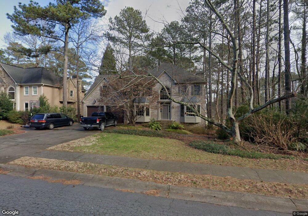
1748 Mclain Rd NW Unit 1 Acworth, GA 30101
Estimated Value: $565,000 - $690,000
4
Beds
6
Baths
3,209
Sq Ft
$200/Sq Ft
Est. Value
About This Home
This home is located at 1748 Mclain Rd NW Unit 1, Acworth, GA 30101 and is currently estimated at $643,360, approximately $200 per square foot. 1748 Mclain Rd NW Unit 1 is a home located in Cobb County with nearby schools including Pickett's Mill Elementary School, Durham Middle School, and Allatoona High School.
Ownership History
Date
Name
Owned For
Owner Type
Purchase Details
Closed on
Oct 4, 2024
Sold by
Coats Stephen A and Johnson Marion A
Bought by
Coats Revocable Trust and Coats
Current Estimated Value
Purchase Details
Closed on
Aug 17, 1999
Sold by
Pair Charles D and Pair Cynthia C
Bought by
Coats Stephen A
Home Financials for this Owner
Home Financials are based on the most recent Mortgage that was taken out on this home.
Original Mortgage
$215,600
Interest Rate
7.73%
Mortgage Type
New Conventional
Purchase Details
Closed on
Aug 10, 1994
Sold by
Barthlow Charles W Bett
Bought by
Pair Charles D Cynthia
Home Financials for this Owner
Home Financials are based on the most recent Mortgage that was taken out on this home.
Original Mortgage
$167,200
Interest Rate
5.37%
Create a Home Valuation Report for This Property
The Home Valuation Report is an in-depth analysis detailing your home's value as well as a comparison with similar homes in the area
Home Values in the Area
Average Home Value in this Area
Purchase History
| Date | Buyer | Sale Price | Title Company |
|---|---|---|---|
| Coats Revocable Trust | -- | None Listed On Document | |
| Coats Revocable Trust | -- | None Listed On Document | |
| Coats Stephen A | $269,500 | -- | |
| Pair Charles D Cynthia | $209,000 | -- |
Source: Public Records
Mortgage History
| Date | Status | Borrower | Loan Amount |
|---|---|---|---|
| Previous Owner | Coats Stephen A | $215,600 | |
| Previous Owner | Pair Charles D Cynthia | $167,200 |
Source: Public Records
Tax History Compared to Growth
Tax History
| Year | Tax Paid | Tax Assessment Tax Assessment Total Assessment is a certain percentage of the fair market value that is determined by local assessors to be the total taxable value of land and additions on the property. | Land | Improvement |
|---|---|---|---|---|
| 2024 | $5,792 | $239,168 | $60,000 | $179,168 |
| 2023 | $5,008 | $228,048 | $42,000 | $186,048 |
| 2022 | $5,594 | $228,048 | $42,000 | $186,048 |
| 2021 | $4,476 | $176,964 | $42,000 | $134,964 |
| 2020 | $1,105 | $45,408 | $34,000 | $11,408 |
| 2019 | $1,105 | $45,408 | $34,000 | $11,408 |
| 2018 | $3,315 | $123,916 | $32,000 | $91,916 |
| 2017 | $3,168 | $123,916 | $32,000 | $91,916 |
| 2016 | $3,069 | $119,268 | $32,000 | $87,268 |
| 2015 | $3,129 | $118,704 | $32,000 | $86,704 |
| 2014 | $3,153 | $118,704 | $0 | $0 |
Source: Public Records
Map
Nearby Homes
- 1799 Mclain Rd NW
- 5485 Brookstone Dr NW
- 5711 Brynwood Cir NW
- 1496 Fallsbrook Ct NW
- 5654 Brookstone Dr NW
- 5362 Manor View Dr NW Unit 12
- 1963 Heatherbrooke Ln NW
- The Ashburn Plan at Woodford
- The Rebecca Plan at Woodford
- The Dillard Plan at Woodford
- The Oxford Plan at Woodford
- The Pinehurst Plan at Woodford
- The Trenton Plan at Woodford
- The Vinings Plan at Woodford
- The Bainbridge Plan at Woodford
- The Brooks Plan at Woodford
- The Evans Plan at Woodford
- 1314 Fallsbrook Terrace NW
- 1313 Fallsbrook Terrace NW
- 1474 Fallsbrook Ct NW Unit 3
- 1758 Mclain Rd NW
- 1759 Mclain Rd NW
- 1768 Mclain Rd NW
- 5650 Forkwood Trace NW
- 1769 Mclain Rd NW
- 5652 Forkwood Trace NW
- 5499 Brookstone Dr NW
- 1778 Mclain Rd NW
- 5497 Brookstone Dr NW
- 1738 Brookstone Ln NW
- 5601 Brookstone Dr NW
- 5495 Brookstone Dr NW
- 5654 Forkwood Trace NW Unit 5
- 5651 Forkwood Trace NW Unit 5
- 1728 Mclain Rd NW
- 1740 Brookstone Ln NW
- 5653 Forkwood Trace NW Unit 5
- 02 Brookstone Dr NW
- 01 Brookstone Dr NW Unit 39
- 01 Brookstone Dr NW