1748 N 556 Rd Tahlequah, OK 74464
Estimated Value: $262,000 - $332,000
3
Beds
2
Baths
1,800
Sq Ft
$170/Sq Ft
Est. Value
About This Home
This home is located at 1748 N 556 Rd, Tahlequah, OK 74464 and is currently estimated at $306,831, approximately $170 per square foot. 1748 N 556 Rd is a home located in Cherokee County with nearby schools including Oaks-Mission Elementary School and Oaks-Mission High School.
Ownership History
Date
Name
Owned For
Owner Type
Purchase Details
Closed on
Oct 3, 2018
Sold by
Gilmore Gary Carl and Gilmore Paula Ann
Bought by
Gilmore Family Trust
Current Estimated Value
Purchase Details
Closed on
Nov 3, 1972
Sold by
Long Lester and Long Dorothy
Bought by
Gilmore Gary Carl
Create a Home Valuation Report for This Property
The Home Valuation Report is an in-depth analysis detailing your home's value as well as a comparison with similar homes in the area
Home Values in the Area
Average Home Value in this Area
Purchase History
| Date | Buyer | Sale Price | Title Company |
|---|---|---|---|
| Gilmore Family Trust | -- | None Available | |
| Gilmore Gary Carl | -- | -- |
Source: Public Records
Tax History Compared to Growth
Tax History
| Year | Tax Paid | Tax Assessment Tax Assessment Total Assessment is a certain percentage of the fair market value that is determined by local assessors to be the total taxable value of land and additions on the property. | Land | Improvement |
|---|---|---|---|---|
| 2025 | $901 | $13,904 | $737 | $13,167 |
| 2024 | $901 | $13,499 | $716 | $12,783 |
| 2023 | $901 | $13,106 | $716 | $12,390 |
| 2022 | $845 | $12,724 | $727 | $11,997 |
| 2021 | $819 | $12,354 | $706 | $11,648 |
| 2020 | $793 | $11,993 | $685 | $11,308 |
| 2019 | $767 | $11,644 | $665 | $10,979 |
| 2018 | $743 | $11,305 | $646 | $10,659 |
| 2017 | $719 | $10,976 | $249 | $10,727 |
| 2016 | $773 | $11,718 | $709 | $11,009 |
| 2015 | $708 | $11,375 | $763 | $10,612 |
| 2014 | $708 | $11,045 | $740 | $10,305 |
Source: Public Records
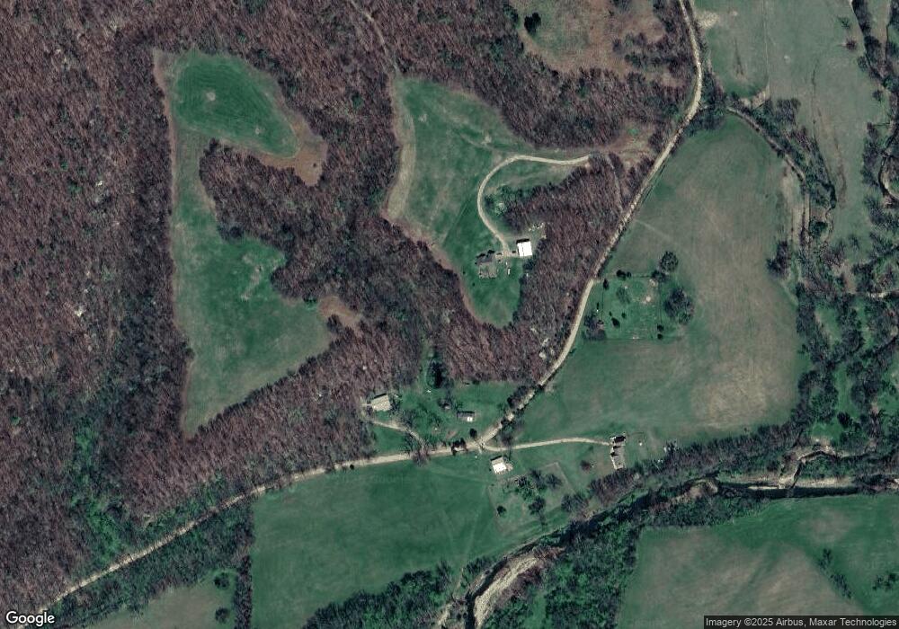
Map
Nearby Homes
- Hwy 82a Lot Unit WP001
- 0000 S Hwy 82 A
- 0 0 Unit 1084047
- 177 S Military Rd
- 2002 N 530 Rd
- 0 N Oaks Rd Unit 2546541
- 0 N Oaks Rd Unit 1291349
- 5690 E 570 Rd
- 1054 N Oaks Rd
- 4422 Highway 82a
- 10250 E 580 Rd
- 4395 N Oaks Rd
- Black Fox Hallow Rd
- 9336 U S 412
- 6850 E 553 Rd
- 9336 S 412
- 56145 S 584 Rd
- 6850 E County Road 553
- 0 D4595 Rd
- 0 4595 Rd Unit 2507714