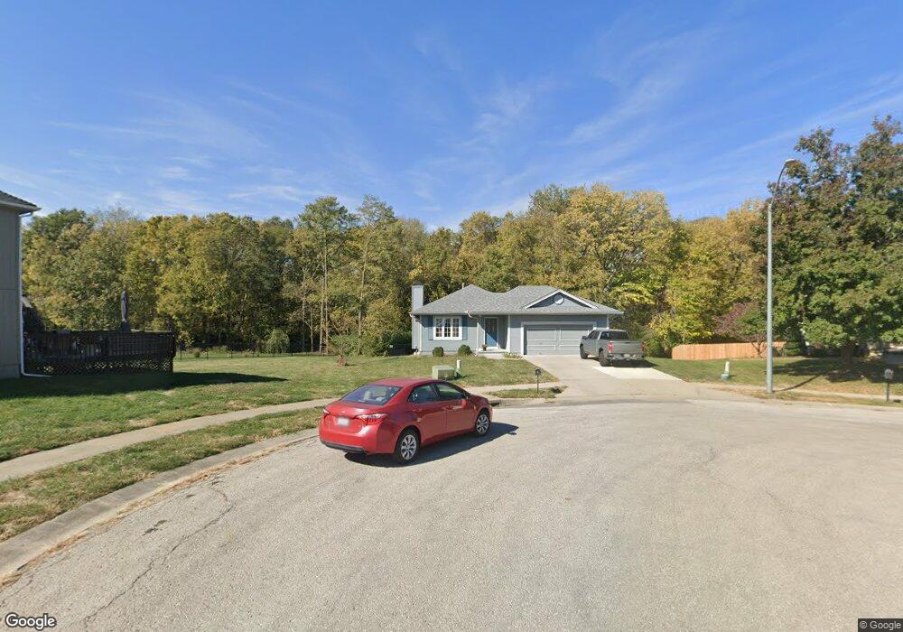
1748 Shannon Dr Liberty, MO 64068
Estimated Value: $298,000 - $350,000
1
Bed
3
Baths
944
Sq Ft
$349/Sq Ft
Est. Value
About This Home
This home is located at 1748 Shannon Dr, Liberty, MO 64068 and is currently estimated at $329,891, approximately $349 per square foot. 1748 Shannon Dr is a home located in Clay County with nearby schools including Manor Hill Elementary School, Liberty Middle School, and Liberty High School.
Ownership History
Date
Name
Owned For
Owner Type
Purchase Details
Closed on
Sep 17, 2001
Sold by
Smith Steven R and Smith Diane E
Bought by
Ambrose Brian and Ambrose Belinda
Current Estimated Value
Home Financials for this Owner
Home Financials are based on the most recent Mortgage that was taken out on this home.
Original Mortgage
$141,000
Outstanding Balance
$54,862
Interest Rate
6.96%
Estimated Equity
$275,029
Create a Home Valuation Report for This Property
The Home Valuation Report is an in-depth analysis detailing your home's value as well as a comparison with similar homes in the area
Home Values in the Area
Average Home Value in this Area
Purchase History
| Date | Buyer | Sale Price | Title Company |
|---|---|---|---|
| Ambrose Brian | -- | Thomson Title Corp |
Source: Public Records
Mortgage History
| Date | Status | Borrower | Loan Amount |
|---|---|---|---|
| Open | Ambrose Brian | $141,000 |
Source: Public Records
Tax History Compared to Growth
Tax History
| Year | Tax Paid | Tax Assessment Tax Assessment Total Assessment is a certain percentage of the fair market value that is determined by local assessors to be the total taxable value of land and additions on the property. | Land | Improvement |
|---|---|---|---|---|
| 2025 | $3,117 | $46,570 | -- | -- |
| 2024 | $3,117 | $40,530 | -- | -- |
| 2023 | $3,170 | $40,530 | $0 | $0 |
| 2022 | $2,780 | $35,090 | $0 | $0 |
| 2021 | $2,758 | $35,093 | $7,220 | $27,873 |
| 2020 | $2,760 | $32,970 | $0 | $0 |
| 2019 | $2,759 | $32,970 | $0 | $0 |
| 2018 | $2,491 | $29,220 | $0 | $0 |
| 2017 | $2,381 | $29,220 | $5,320 | $23,900 |
| 2016 | $2,381 | $28,200 | $5,320 | $22,880 |
| 2015 | $2,382 | $28,200 | $5,320 | $22,880 |
| 2014 | $2,326 | $27,320 | $5,320 | $22,000 |
Source: Public Records
Map
Nearby Homes
- 1505 Glen Brook Ln
- 1588 Columbine Ct
- 753 Todd Ct
- 977 Wellington Way
- 1030 Maple Woods Dr
- 465 Lilly Ln
- 457 Lilly Ln
- 507 Vivian St
- 1608 Ray St
- 1904 Shirley Ct
- 429 Lilly Ln
- McKinley Plan at Homestead of Liberty - Homestead
- Monroe Plan at Homestead of Liberty - Homestead
- Chestnut Plan at Homestead of Liberty - Homestead
- The Brooklyn Plan at Homestead of Liberty - Homestead
- Cypress Plan at Homestead of Liberty - Homestead
- The Linden Plan at Homestead of Liberty - Homestead
- Spruce Plan at Homestead of Liberty - Homestead
- Ashton Plan at Homestead of Liberty - Homestead
- Meg Plan at Homestead of Liberty - Homestead
- 1751 Bridget Place
- 1749 Shannon Dr
- 1755 Bridget Place
- 1753 Shannon Dr
- 1759 Bridget Place
- 1757 Shannon Dr
- 1761 Shannon Dr
- 1763 Bridget Place
- 1750 Bridget Place
- 0 Bridget Place
- 1754 Bridget Place
- 1765 Shannon Dr
- 714 Joseph St
- 1744 Ray St
- 1767 Bridget Place
- 555 Lauren St
- 1769 Shannon Dr
- 1016 Ashton Terrace
- 1774 Shannon Dr
- 710 Joseph St