1749 105th St New Richmond, WI 54017
Richmond NeighborhoodEstimated Value: $414,000 - $468,000
3
Beds
2
Baths
--
Sq Ft
2.19
Acres
About This Home
This home is located at 1749 105th St, New Richmond, WI 54017 and is currently estimated at $435,815. 1749 105th St is a home located in St. Croix County with nearby schools including New Richmond High School.
Ownership History
Date
Name
Owned For
Owner Type
Purchase Details
Closed on
Feb 17, 2020
Sold by
Slocum Michael S and Slocum Elizabeth A
Bought by
Slocum Philip B
Current Estimated Value
Purchase Details
Closed on
Dec 8, 2017
Sold by
Samelstad Mark W and Samelstad Roxann
Bought by
Slocum Michael and Slocum Elizabeth
Home Financials for this Owner
Home Financials are based on the most recent Mortgage that was taken out on this home.
Original Mortgage
$160,000
Outstanding Balance
$88,957
Interest Rate
3.9%
Mortgage Type
New Conventional
Estimated Equity
$346,858
Create a Home Valuation Report for This Property
The Home Valuation Report is an in-depth analysis detailing your home's value as well as a comparison with similar homes in the area
Home Values in the Area
Average Home Value in this Area
Purchase History
| Date | Buyer | Sale Price | Title Company |
|---|---|---|---|
| Slocum Philip B | -- | None Available | |
| Slocum Michael | $260,000 | -- |
Source: Public Records
Mortgage History
| Date | Status | Borrower | Loan Amount |
|---|---|---|---|
| Open | Slocum Michael | $160,000 |
Source: Public Records
Tax History Compared to Growth
Tax History
| Year | Tax Paid | Tax Assessment Tax Assessment Total Assessment is a certain percentage of the fair market value that is determined by local assessors to be the total taxable value of land and additions on the property. | Land | Improvement |
|---|---|---|---|---|
| 2024 | $41 | $330,700 | $44,700 | $286,000 |
| 2023 | $3,764 | $330,700 | $44,700 | $286,000 |
| 2022 | $3,266 | $330,700 | $44,700 | $286,000 |
| 2021 | $3,198 | $330,700 | $44,700 | $286,000 |
| 2020 | $3,510 | $205,900 | $25,900 | $180,000 |
| 2019 | $3,412 | $205,900 | $25,900 | $180,000 |
| 2018 | $3,315 | $205,900 | $25,900 | $180,000 |
| 2017 | $3,225 | $205,900 | $25,900 | $180,000 |
| 2016 | $3,225 | $205,900 | $25,900 | $180,000 |
| 2015 | $3,364 | $205,900 | $25,900 | $180,000 |
| 2014 | $3,241 | $205,900 | $25,900 | $180,000 |
| 2013 | $3,100 | $205,900 | $25,900 | $180,000 |
Source: Public Records
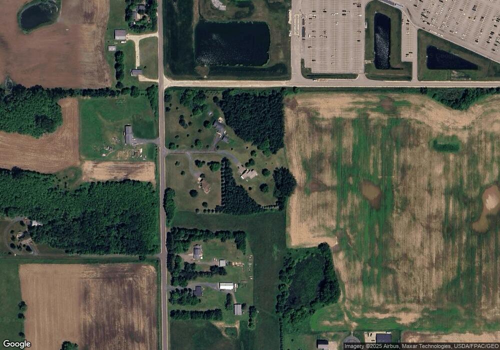
Map
Nearby Homes
- 1705 107th St
- XXXX 110th St
- 1418 Bluff Border Rd
- 1777 George Norman Dr
- 1176 Carroll St
- 1787 Saint Andrews Place
- 1561 Creekwood Dr
- 1549 Creekwood Dr
- 1539 Creekwood Dr
- 1513 Creekwood Dr
- Kenny Plan at The Creek at Gloverdale
- Nora Plan at The Creek at Gloverdale
- Hudson Plan at The Creek at Gloverdale
- Aspen Plan at The Creek at Gloverdale
- Alder Plan at The Creek at Gloverdale
- Riley Plan at The Creek at Gloverdale
- Ashlyn Plan at The Creek at Gloverdale
- Sutherland Plan at The Creek at Gloverdale
- Victoria Plan at The Creek at Gloverdale
- Kendall Plan at The Creek at Gloverdale