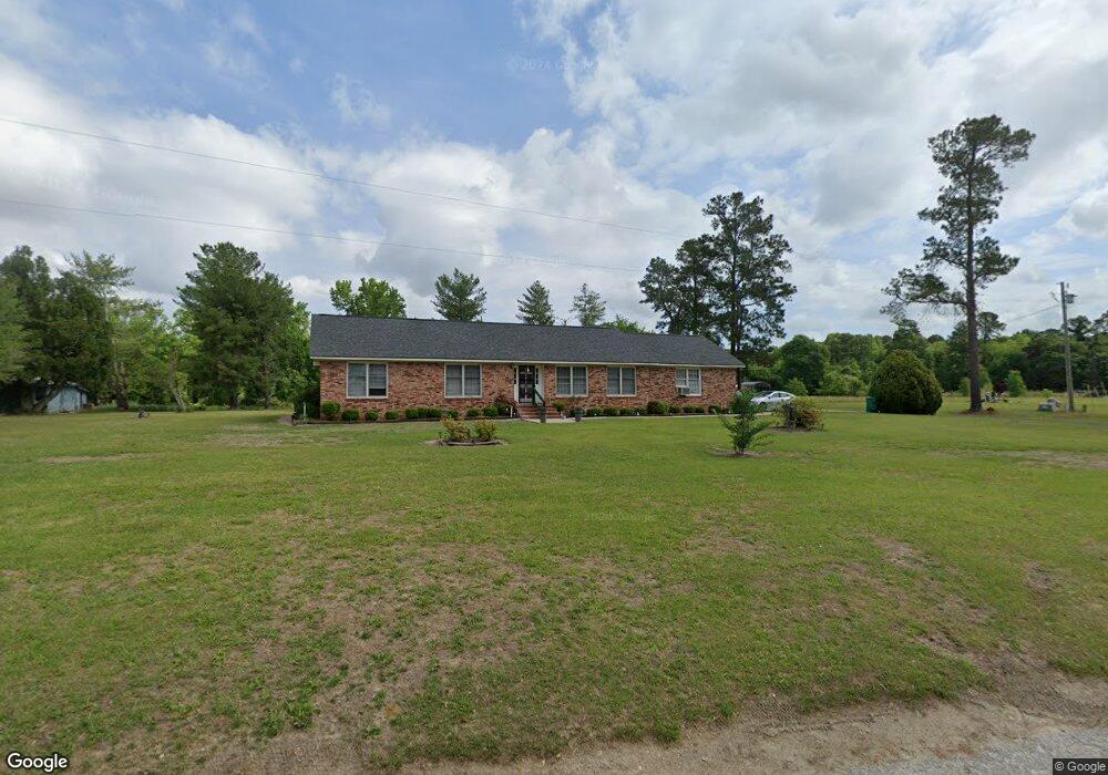
1749 Haseldon Dr Manning, SC 29102
Estimated Value: $223,716 - $281,000
--
Bed
--
Bath
2,333
Sq Ft
$105/Sq Ft
Est. Value
About This Home
This home is located at 1749 Haseldon Dr, Manning, SC 29102 and is currently estimated at $245,929, approximately $105 per square foot. 1749 Haseldon Dr is a home with nearby schools including Manning Early Childhood Center, Manning Primary School, and Manning Elementary School.
Ownership History
Date
Name
Owned For
Owner Type
Purchase Details
Closed on
Sep 12, 2024
Sold by
Smith Sandra and Williams Mildred
Bought by
Williams Mildred and Wise Sandra
Current Estimated Value
Purchase Details
Closed on
Sep 11, 2024
Sold by
James Beverly Linda
Bought by
Mitchell Sierra James and Marvin James
Purchase Details
Closed on
Oct 20, 2008
Sold by
Estate Of Gilbert Leon Williams
Bought by
Williams Mildred and Smith Sandra
Create a Home Valuation Report for This Property
The Home Valuation Report is an in-depth analysis detailing your home's value as well as a comparison with similar homes in the area
Home Values in the Area
Average Home Value in this Area
Purchase History
| Date | Buyer | Sale Price | Title Company |
|---|---|---|---|
| Williams Mildred | -- | None Listed On Document | |
| Williams Mildred | -- | None Listed On Document | |
| Mitchell Sierra James | -- | None Listed On Document | |
| Williams Mildred | -- | None Available |
Source: Public Records
Tax History Compared to Growth
Tax History
| Year | Tax Paid | Tax Assessment Tax Assessment Total Assessment is a certain percentage of the fair market value that is determined by local assessors to be the total taxable value of land and additions on the property. | Land | Improvement |
|---|---|---|---|---|
| 2024 | $1,167 | $5,768 | $320 | $5,448 |
| 2023 | $1,119 | $5,768 | $320 | $5,448 |
| 2022 | $1,108 | $5,768 | $320 | $5,448 |
| 2021 | $1,149 | $5,540 | $320 | $5,220 |
| 2020 | $1,044 | $5,540 | $320 | $5,220 |
| 2019 | $997 | $5,540 | $320 | $5,220 |
| 2018 | $972 | $5,540 | $0 | $0 |
| 2017 | $960 | $5,540 | $0 | $0 |
| 2016 | $959 | $5,540 | $0 | $0 |
| 2015 | $838 | $5,274 | $320 | $4,954 |
| 2014 | $840 | $5,274 | $320 | $4,954 |
| 2013 | -- | $5,274 | $320 | $4,954 |
Source: Public Records
Map
Nearby Homes
- 1868 Haseldon Dr
- 617 Pickwood Dr
- 605 Gib Dr
- 0000 Sylvan Dr
- 1513 Loblolly Dr
- 1026 Jamie Ct
- 412 Briarcliff St
- 1023 Shortleaf Dr
- TBD S Carolina 260
- 408 Toccoa Dr
- 1682 Heritage Dr
- 633 Sykes St
- 1665 Heritage Dr
- 209 Peterson Ln
- W Huggins St
- 1085 Birdie Ct
- 404 S Church St
- 1054 Hickory Ridge Cir
- 111 Richard St
- 138 Nelson Cir
- 644 Pickwood Dr
- 1331 Long Leaf Dr
- 1249 Long Leaf Dr
- 1013 Loblolly Dr
- 1252 Long Leaf Dr
- 640 Pickwood Dr Unit 29102
- 640 Pickwood Dr
- 1237 Long Leaf Dr
- 1037 Loblolly Dr
- 0 Holiday Dr
- 645 Pickwood Dr
- 421 Sylvan Dr
- 1014 Loblolly Dr
- 1240 Long Leaf Dr
- 1225 Longleaf Dr
- 1057 Loblolly Dr
- 1042 Loblolly Dr
- 1793 Haseldon Dr
- tbd Haseldon Dr
- Na Haseldon Dr