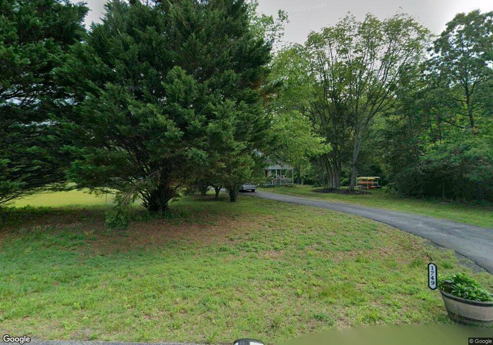
1749 Myles Dr Harwood, MD 20776
Harwood NeighborhoodEstimated Value: $433,000 - $554,000
3
Beds
3
Baths
1,648
Sq Ft
$300/Sq Ft
Est. Value
About This Home
This home is located at 1749 Myles Dr, Harwood, MD 20776 and is currently estimated at $493,959, approximately $299 per square foot. 1749 Myles Dr is a home located in Anne Arundel County with nearby schools including Lothian Elementary School, Southern Middle School, and Southern High School.
Ownership History
Date
Name
Owned For
Owner Type
Purchase Details
Closed on
Aug 24, 2020
Sold by
Tla Properties Llc
Bought by
Harley Thomas W and Harley Lolita
Current Estimated Value
Home Financials for this Owner
Home Financials are based on the most recent Mortgage that was taken out on this home.
Original Mortgage
$337,500
Interest Rate
2.7%
Mortgage Type
New Conventional
Purchase Details
Closed on
Apr 12, 2019
Sold by
Harris Dagoda and Estate Of Daisy Harris
Bought by
Tla Properties Llc
Create a Home Valuation Report for This Property
The Home Valuation Report is an in-depth analysis detailing your home's value as well as a comparison with similar homes in the area
Home Values in the Area
Average Home Value in this Area
Purchase History
| Date | Buyer | Sale Price | Title Company |
|---|---|---|---|
| Harley Thomas W | -- | Accommodation | |
| Tla Properties Llc | $285,000 | Capitol Title Insurance Agcy | |
| Tla Properties Llc | $285,000 | Capitol Title Insurance Agcy |
Source: Public Records
Mortgage History
| Date | Status | Borrower | Loan Amount |
|---|---|---|---|
| Previous Owner | Harley Thomas W | $337,500 |
Source: Public Records
Tax History Compared to Growth
Tax History
| Year | Tax Paid | Tax Assessment Tax Assessment Total Assessment is a certain percentage of the fair market value that is determined by local assessors to be the total taxable value of land and additions on the property. | Land | Improvement |
|---|---|---|---|---|
| 2025 | $4,928 | $397,967 | -- | -- |
| 2024 | $4,928 | $389,733 | $0 | $0 |
| 2023 | $4,793 | $381,500 | $218,000 | $163,500 |
| 2022 | $4,469 | $372,200 | $0 | $0 |
| 2021 | $4,372 | $362,900 | $0 | $0 |
| 2020 | $4,235 | $353,600 | $200,500 | $153,100 |
| 2019 | $4,137 | $343,867 | $0 | $0 |
| 2018 | $3,388 | $334,133 | $0 | $0 |
| 2017 | $3,037 | $324,400 | $0 | $0 |
| 2016 | -- | $324,400 | $0 | $0 |
| 2015 | -- | $324,400 | $0 | $0 |
| 2014 | -- | $324,500 | $0 | $0 |
Source: Public Records
Map
Nearby Homes
- 812 Richardson Dr
- 17436 Claggett Landing Rd
- 17905 Queen Anne Rd
- 18106 B Central Ave
- 1527 Patuxent Manor Rd
- 1544 Manor View Rd
- 213 King James Rd
- 4440 Claybrooke Dr
- 3732 Nile Rd
- 210 Queen Marie Ct
- 1575 Alcova Dr
- 4485 Old Solomons Island Rd
- 116 Prospect Dr
- 4320 Solomons Island Rd
- 1500, 1501, 1504 Cogar Rd
- 1008 W Central Ave
- 16508 Kilby Ct
- 1002 Marshalls Dr
- Hampton II Plan at Marshall's Landing
- Preston Plan at Marshall's Landing