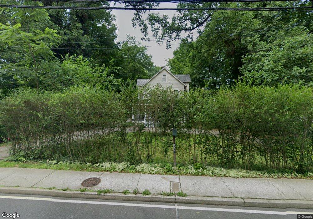
1749 Post Rd Darien, CT 06820
Estimated Value: $1,375,283 - $1,582,000
4
Beds
4
Baths
2,137
Sq Ft
$692/Sq Ft
Est. Value
About This Home
This home is located at 1749 Post Rd, Darien, CT 06820 and is currently estimated at $1,478,571, approximately $691 per square foot. 1749 Post Rd is a home located in Fairfield County with nearby schools including Hindley Elementary School, Middlesex Middle School, and Darien High School.
Ownership History
Date
Name
Owned For
Owner Type
Purchase Details
Closed on
Oct 14, 2005
Sold by
K & F Post Rd Llc
Bought by
Vescera Vincent R
Current Estimated Value
Home Financials for this Owner
Home Financials are based on the most recent Mortgage that was taken out on this home.
Original Mortgage
$75,000
Interest Rate
6%
Purchase Details
Closed on
Jun 8, 2004
Sold by
Harris David and Harris Sabina
Bought by
K & F Post Rd Llc
Create a Home Valuation Report for This Property
The Home Valuation Report is an in-depth analysis detailing your home's value as well as a comparison with similar homes in the area
Home Values in the Area
Average Home Value in this Area
Purchase History
| Date | Buyer | Sale Price | Title Company |
|---|---|---|---|
| Vescera Vincent R | $1,200,000 | -- | |
| K & F Post Rd Llc | $785,000 | -- |
Source: Public Records
Mortgage History
| Date | Status | Borrower | Loan Amount |
|---|---|---|---|
| Open | K & F Post Rd Llc | $300,000 | |
| Open | K & F Post Rd Llc | $550,000 | |
| Closed | K & F Post Rd Llc | $250,000 | |
| Closed | K & F Post Rd Llc | $75,000 |
Source: Public Records
Tax History
| Year | Tax Paid | Tax Assessment Tax Assessment Total Assessment is a certain percentage of the fair market value that is determined by local assessors to be the total taxable value of land and additions on the property. | Land | Improvement |
|---|---|---|---|---|
| 2025 | $11,312 | $730,730 | $473,340 | $257,390 |
| 2024 | $10,734 | $730,730 | $473,340 | $257,390 |
| 2023 | $9,547 | $542,150 | $338,100 | $204,050 |
| 2022 | $9,341 | $542,150 | $338,100 | $204,050 |
| 2021 | $9,130 | $542,150 | $338,100 | $204,050 |
| 2020 | $8,870 | $542,150 | $338,100 | $204,050 |
| 2019 | $8,929 | $542,150 | $338,100 | $204,050 |
| 2018 | $8,217 | $511,000 | $316,680 | $194,320 |
| 2017 | $8,258 | $511,000 | $316,680 | $194,320 |
| 2016 | $8,058 | $511,000 | $316,680 | $194,320 |
| 2015 | $7,844 | $511,000 | $316,680 | $194,320 |
| 2014 | $7,614 | $507,290 | $316,680 | $190,610 |
Source: Public Records
Map
Nearby Homes
- 18 Pasture Ln
- 32 Relihan Rd
- 3 Salt Box Ln E
- 20 Outlook Dr
- 16 Fairfield Ave
- 23 Beach Dr
- 77 Maple St
- 66 Stanton Rd
- 12 Walmsley Rd
- 166 Hollow Tree Ridge Rd
- 167 Hollow Tree Ridge Rd
- 11 Patton Dr
- 5 Shields Ln
- 15 Charles St
- 20 Locust Hill Rd
- 25 Hillside Ave
- 10 Stony Brook Rd
- 223 Middlesex Rd
- 18 Winding Ln
- 2 Settlers Trail Unit 2
- 1795 Boston Post Rd
- 1795 Post Rd
- 1793 Post Rd
- 1793 Post Rd Unit 2ND F
- 1793 Post Rd Unit 1st F
- 1793 Boston Post Rd Unit 2ND F
- 262 Old Kings Hwy S
- 1741 Boston Post Rd
- 1740 Post Rd
- 260 Old Kings Hwy S
- 1797 Post Rd
- 1741 Post Rd
- 1825 Post Rd
- 5 Bishop''S Gate
- 132 Old King''S Hwy S
- 72 Old King''S Hwy
- 6 Bishop''S Gate
- 258 Old Kings Hwy S
- 21 Crimmins Rd
- 1714 Post Rd
Your Personal Tour Guide
Ask me questions while you tour the home.