1749 Queensbury Cir Unit 5963 Hoffman Estates, IL 60169
South Hoffman Estates NeighborhoodEstimated Value: $219,616 - $257,000
3
Beds
--
Bath
1,200
Sq Ft
$196/Sq Ft
Est. Value
About This Home
This home is located at 1749 Queensbury Cir Unit 5963, Hoffman Estates, IL 60169 and is currently estimated at $235,404, approximately $196 per square foot. 1749 Queensbury Cir Unit 5963 is a home located in Cook County with nearby schools including John Muir Literacy Academy, Dwight D Eisenhower Junior High School, and Hoffman Estates High School.
Ownership History
Date
Name
Owned For
Owner Type
Purchase Details
Closed on
Jun 25, 2000
Sold by
Martinez Doris D
Bought by
Garcia Rogelio and Vallinas Norma
Current Estimated Value
Home Financials for this Owner
Home Financials are based on the most recent Mortgage that was taken out on this home.
Original Mortgage
$96,550
Outstanding Balance
$35,331
Interest Rate
8.55%
Mortgage Type
FHA
Estimated Equity
$200,073
Purchase Details
Closed on
Jul 28, 1995
Sold by
Buck David J
Bought by
Martinez Doris D
Home Financials for this Owner
Home Financials are based on the most recent Mortgage that was taken out on this home.
Original Mortgage
$72,150
Interest Rate
7.64%
Mortgage Type
FHA
Create a Home Valuation Report for This Property
The Home Valuation Report is an in-depth analysis detailing your home's value as well as a comparison with similar homes in the area
Home Values in the Area
Average Home Value in this Area
Purchase History
| Date | Buyer | Sale Price | Title Company |
|---|---|---|---|
| Garcia Rogelio | $99,000 | -- | |
| Martinez Doris D | $74,000 | -- |
Source: Public Records
Mortgage History
| Date | Status | Borrower | Loan Amount |
|---|---|---|---|
| Open | Garcia Rogelio | $96,550 | |
| Previous Owner | Martinez Doris D | $72,150 |
Source: Public Records
Tax History Compared to Growth
Tax History
| Year | Tax Paid | Tax Assessment Tax Assessment Total Assessment is a certain percentage of the fair market value that is determined by local assessors to be the total taxable value of land and additions on the property. | Land | Improvement |
|---|---|---|---|---|
| 2024 | $3,552 | $14,890 | $3,803 | $11,087 |
| 2023 | $3,406 | $14,890 | $3,803 | $11,087 |
| 2022 | $3,406 | $14,890 | $3,803 | $11,087 |
| 2021 | $2,775 | $11,614 | $5,990 | $5,624 |
| 2020 | $2,785 | $11,614 | $5,990 | $5,624 |
| 2019 | $2,793 | $12,970 | $5,990 | $6,980 |
| 2018 | $1,386 | $7,685 | $5,229 | $2,456 |
| 2017 | $1,380 | $7,685 | $5,229 | $2,456 |
| 2016 | $1,546 | $7,685 | $5,229 | $2,456 |
| 2015 | $1,101 | $6,050 | $4,564 | $1,486 |
| 2014 | $1,098 | $6,050 | $4,564 | $1,486 |
| 2013 | $1,052 | $6,050 | $4,564 | $1,486 |
Source: Public Records
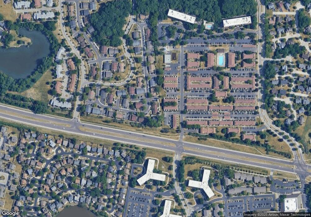
Map
Nearby Homes
- 1763 Bristol Walk Unit 1763
- 1808 Fayette Walk Unit H
- 1840 Huntington Blvd Unit 415
- 1840 Huntington Blvd Unit 412
- 1704 Fayette Walk Unit B
- 1800 Huntington Blvd Unit AE615
- 1475 Rebecca Dr Unit 217
- 1375 Rebecca Dr Unit 318
- 1685 Cornell Dr
- 1672 Cornell Dr
- 1886 Stockton Dr Unit 3253
- 1854 Huntington Blvd Unit C
- 1925 Georgetown Ln Unit 4
- 1956 Georgetown Ln Unit 4
- 1738 Ardwick Dr
- 1415 N Oakmont Rd
- 1698 Pebble Beach Dr
- 1977 Kenilworth Cir Unit D
- 1456 Della Dr
- 2230 Stratham Place
- 1747 Queensbury Cir Unit 5962
- 1751 Queensbury Cir Unit 5964
- 1745 Queensbury Cir Unit 5961
- 1841 Bristol Walk
- 1841 Bristol Walk Unit 1841
- 1844 Bristol Walk Unit 1844
- 1741 Queensbury Cir Unit 5953
- 1739 Queensbury Cir Unit 5952
- 1840 Bristol Walk
- 1837 Bristol Walk Unit 1837
- 1765 Queensbury Cir Unit 5804
- 1759 Queensbury Cir Unit 5801
- 1744 Queensbury Cir Unit 5831
- 1836 Bristol Walk Unit 1836
- 1836 Bristol Walk Unit 4
- 1737 Queensbury Cir Unit 5951
- 1750 Queensbury Cir Unit 5834
- 1743 Queensbury Cir Unit 5954
- 1731 Queensbury Cir Unit 5942
- 1733 Queensbury Cir Unit 5943