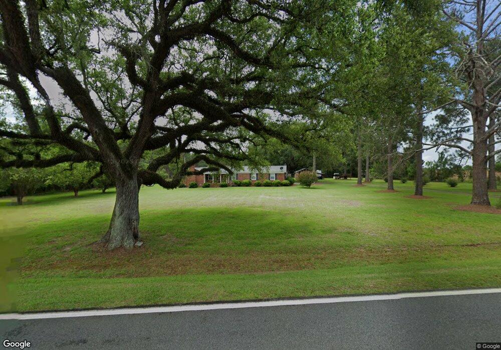
1749 Red Rock Rd Sylvester, GA 31791
Estimated Value: $152,000 - $299,000
--
Bed
1
Bath
1,968
Sq Ft
$121/Sq Ft
Est. Value
About This Home
This home is located at 1749 Red Rock Rd, Sylvester, GA 31791 and is currently estimated at $237,754, approximately $120 per square foot. 1749 Red Rock Rd is a home located in Worth County with nearby schools including Worth County Primary School, Worth County Elementary School, and Worth County Middle School.
Ownership History
Date
Name
Owned For
Owner Type
Purchase Details
Closed on
Oct 8, 2008
Sold by
Elmy Douglas D
Bought by
Elmy Douglas D
Current Estimated Value
Home Financials for this Owner
Home Financials are based on the most recent Mortgage that was taken out on this home.
Original Mortgage
$144,000
Interest Rate
5.96%
Mortgage Type
New Conventional
Purchase Details
Closed on
Dec 3, 1999
Bought by
Elmy Douglas D
Purchase Details
Closed on
Jul 18, 1978
Sold by
Timmons Evelyn
Bought by
Timmons Evelyn
Create a Home Valuation Report for This Property
The Home Valuation Report is an in-depth analysis detailing your home's value as well as a comparison with similar homes in the area
Home Values in the Area
Average Home Value in this Area
Purchase History
| Date | Buyer | Sale Price | Title Company |
|---|---|---|---|
| Elmy Douglas D | $144,000 | -- | |
| Elmy Douglas D | $108,500 | -- | |
| Timmons Evelyn | -- | -- |
Source: Public Records
Mortgage History
| Date | Status | Borrower | Loan Amount |
|---|---|---|---|
| Closed | Elmy Douglas D | $144,000 |
Source: Public Records
Tax History Compared to Growth
Tax History
| Year | Tax Paid | Tax Assessment Tax Assessment Total Assessment is a certain percentage of the fair market value that is determined by local assessors to be the total taxable value of land and additions on the property. | Land | Improvement |
|---|---|---|---|---|
| 2024 | $1,912 | $55,027 | $5,600 | $49,427 |
| 2023 | $1,912 | $55,027 | $5,600 | $49,427 |
| 2022 | $1,913 | $55,027 | $5,600 | $49,427 |
| 2021 | $1,878 | $55,027 | $5,600 | $49,427 |
| 2020 | $1,760 | $55,027 | $5,600 | $49,427 |
| 2019 | $1,760 | $55,027 | $5,600 | $49,427 |
| 2018 | $1,577 | $55,027 | $5,600 | $49,427 |
| 2017 | $1,577 | $55,027 | $5,600 | $49,427 |
| 2016 | $1,520 | $55,027 | $5,600 | $49,427 |
| 2015 | $1,523 | $55,027 | $5,600 | $49,427 |
| 2014 | $1,523 | $55,027 | $5,600 | $49,427 |
| 2013 | -- | $54,019 | $4,592 | $49,427 |
| 2012 | -- | $54,019 | $4,592 | $49,427 |
Source: Public Records
Map
Nearby Homes
- 222 Pebble Hill Cir
- 106 Shady Ln
- 0 N County Line Rd
- 414 Pine Glen Dr
- 213 Aspen Ln
- 1447 Pearson Rd
- 2730 S County Line Rd
- 5108 Cypress Ave
- 115 Wynn Dr
- 144 James Dr
- 322 Camp Osborn Rd
- 101 Dogwood Ln
- 3001 Treasure Ave
- 3704 Parr Rd
- 3620 Radial Ave
- 3606 Radial Ave
- 128 Airport Rd
- 3431 Gladys Ct
- 913 Bass Dr
- 0 Blue Springs Rd Unit 138600
- 1715 Red Rock Rd
- 1804 Red Rock Rd
- 1750 Red Rock Rd
- 1723 Red Rock Rd
- 1704 Red Rock Rd
- 1685 Red Rock Rd
- 1823 Red Rock Rd
- 1674 Red Rock Rd
- 1851 Red Rock Rd
- 649 Peafowl Rd
- 1643 Red Rock Rd
- 1925 Red Rock Rd
- 1922 Red Rock Rd
- 1606 Red Rock Rd
- 1942 Red Rock Rd
- 1936 Red Rock Rd
- 1940 Red Rock Rd
- 1931 Red Rock Rd
- 239 Barfield Rd
- 1961 Red Rock Rd