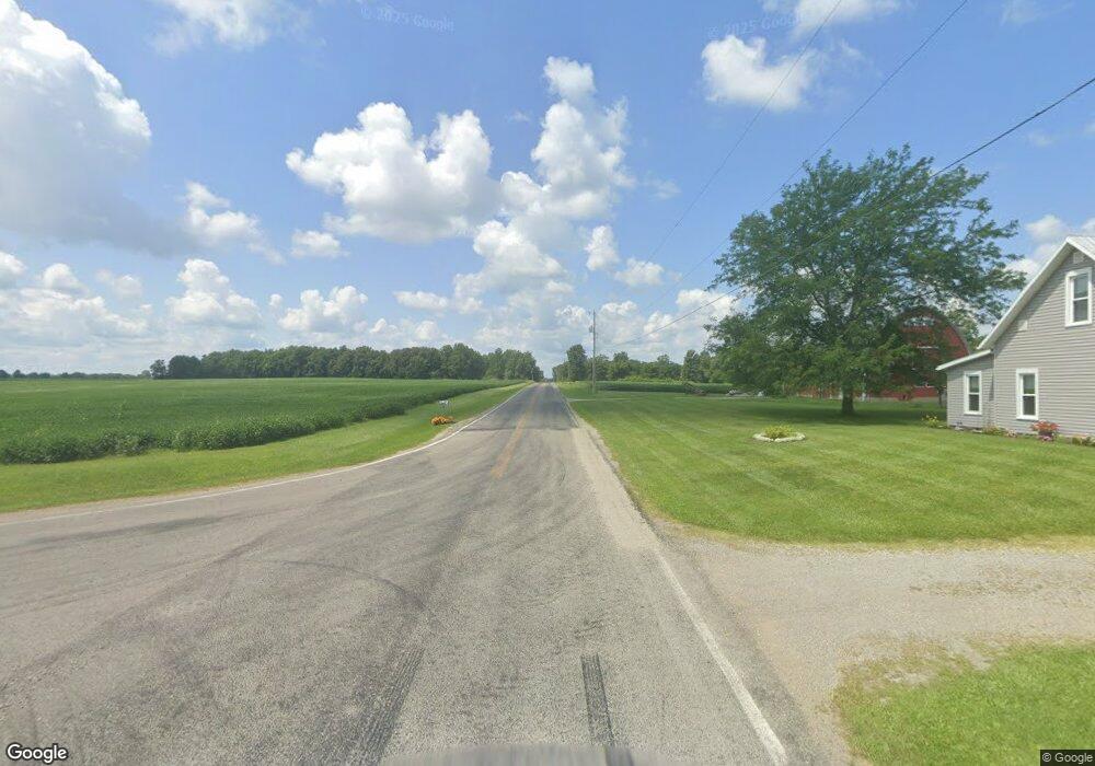
1749 W State Route 29 Urbana, OH 43078
Estimated Value: $140,000 - $271,000
3
Beds
2
Baths
1,700
Sq Ft
$127/Sq Ft
Est. Value
About This Home
This home is located at 1749 W State Route 29, Urbana, OH 43078 and is currently estimated at $216,370, approximately $127 per square foot. 1749 W State Route 29 is a home located in Champaign County with nearby schools including West Liberty-Salem Elementary School, West Liberty-Salem Middle School, and West Liberty-Salem Middle/High School.
Ownership History
Date
Name
Owned For
Owner Type
Purchase Details
Closed on
Jul 23, 2015
Sold by
Eaton Max D and Fifth Third Mortgage Co
Bought by
Gieseke Seth L and Gieseke Rachel L
Current Estimated Value
Home Financials for this Owner
Home Financials are based on the most recent Mortgage that was taken out on this home.
Original Mortgage
$99,750
Interest Rate
3.9%
Mortgage Type
New Conventional
Create a Home Valuation Report for This Property
The Home Valuation Report is an in-depth analysis detailing your home's value as well as a comparison with similar homes in the area
Home Values in the Area
Average Home Value in this Area
Purchase History
| Date | Buyer | Sale Price | Title Company |
|---|---|---|---|
| Gieseke Seth L | $105,000 | None Available |
Source: Public Records
Mortgage History
| Date | Status | Borrower | Loan Amount |
|---|---|---|---|
| Previous Owner | Gieseke Seth L | $99,750 |
Source: Public Records
Tax History Compared to Growth
Tax History
| Year | Tax Paid | Tax Assessment Tax Assessment Total Assessment is a certain percentage of the fair market value that is determined by local assessors to be the total taxable value of land and additions on the property. | Land | Improvement |
|---|---|---|---|---|
| 2024 | $1,931 | $51,190 | $8,830 | $42,360 |
| 2023 | $1,931 | $51,190 | $8,830 | $42,360 |
| 2022 | $1,938 | $51,190 | $8,830 | $42,360 |
| 2021 | $1,657 | $40,950 | $7,060 | $33,890 |
| 2020 | $1,657 | $40,950 | $7,060 | $33,890 |
| 2019 | $1,637 | $40,950 | $7,060 | $33,890 |
| 2018 | $1,425 | $36,120 | $6,360 | $29,760 |
| 2017 | $1,404 | $36,120 | $6,360 | $29,760 |
| 2016 | $1,361 | $36,120 | $6,360 | $29,760 |
| 2015 | $925 | $34,820 | $6,360 | $28,460 |
| 2014 | $926 | $34,820 | $6,360 | $28,460 |
| 2013 | $917 | $34,820 | $6,360 | $28,460 |
Source: Public Records
Map
Nearby Homes
- 0 Millerstown Rd
- 00 Millerstown Rd
- 734 Emmalyn Ave
- 728 N Oakland St
- 723 N Russell St
- 922 W Court St
- 1123 Miami St
- 0 Ohio 296
- 241 Louden St
- 242 Laurel Oak St
- 234 Laurel Oak St
- 129 Gwynne St
- 0 Laurel Oak St Unit 225013949
- 0 Laurel Oak St Unit 1038292
- 206 Lincoln Place
- 311 W Church St
- 306 W Court St
- 1010 W Herr Rd
- 501 Boyce St
- 603 E Light St
- 1763 W State Route 29
- 1727 W State Route 29
- 1736 W State Route 29
- 1736 W St Rte 29
- 1794 W State Route 29
- 1710 W State Route 29
- 1805 W State Route 29
- 1700 W State Route 29
- 1810 W State Route 29
- 1685 W State Route 29
- 1814 W State Route 29
- 1690 W State Route 29
- 1828 W State Route 29
- 1675 W State Route 29
- 1680 W State Route 29
- 1843 W State Route 29
- 1840 W State Route 29
- 1840 Ohio 29
- 1850 Ohio 29
- 1849 W State Route 29