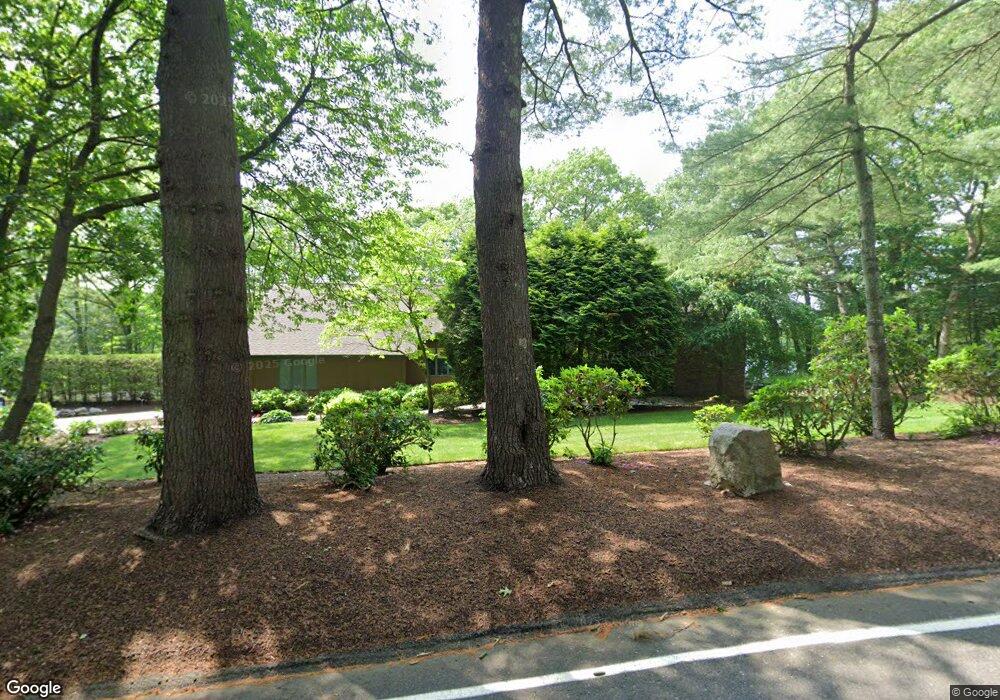
1749 West St Stoughton, MA 02072
Estimated Value: $866,000 - $1,490,000
4
Beds
4
Baths
4,163
Sq Ft
$253/Sq Ft
Est. Value
About This Home
This home is located at 1749 West St, Stoughton, MA 02072 and is currently estimated at $1,053,054, approximately $252 per square foot. 1749 West St is a home located in Norfolk County with nearby schools including Joseph H. Gibbons Elementary School, Dr. Robert G. O'Donnell Middle School, and Stoughton High School.
Ownership History
Date
Name
Owned For
Owner Type
Purchase Details
Closed on
Mar 17, 1988
Sold by
Palomar Develop Inc
Bought by
Lewellen Thomas C
Current Estimated Value
Create a Home Valuation Report for This Property
The Home Valuation Report is an in-depth analysis detailing your home's value as well as a comparison with similar homes in the area
Home Values in the Area
Average Home Value in this Area
Purchase History
| Date | Buyer | Sale Price | Title Company |
|---|---|---|---|
| Lewellen Thomas C | $408,000 | -- |
Source: Public Records
Mortgage History
| Date | Status | Borrower | Loan Amount |
|---|---|---|---|
| Open | Lewellen Thomas C | $280,000 | |
| Closed | Lewellen Thomas C | $34,068 | |
| Closed | Lewellen Thomas C | $175,000 |
Source: Public Records
Tax History Compared to Growth
Tax History
| Year | Tax Paid | Tax Assessment Tax Assessment Total Assessment is a certain percentage of the fair market value that is determined by local assessors to be the total taxable value of land and additions on the property. | Land | Improvement |
|---|---|---|---|---|
| 2025 | $8,688 | $701,800 | $270,300 | $431,500 |
| 2024 | $8,479 | $666,100 | $247,000 | $419,100 |
| 2023 | $8,404 | $620,200 | $225,600 | $394,600 |
| 2022 | $8,101 | $562,200 | $217,100 | $345,100 |
| 2021 | $8,162 | $540,500 | $194,300 | $346,200 |
| 2020 | $8,294 | $557,000 | $194,300 | $362,700 |
| 2019 | $8,310 | $541,700 | $194,300 | $347,400 |
| 2018 | $7,959 | $537,400 | $190,000 | $347,400 |
| 2017 | $7,436 | $513,200 | $187,800 | $325,400 |
| 2016 | $7,000 | $467,600 | $177,100 | $290,500 |
| 2015 | $6,911 | $456,800 | $166,300 | $290,500 |
| 2014 | $6,490 | $412,300 | $151,100 | $261,200 |
Source: Public Records
Map
Nearby Homes
- 93 Palisades Cir
- 1600 West St
- 175 N Main St
- 4 Eagle Rock Rd
- 12 Holmes St
- 15 King Ave
- 8 Hobart Way
- 2 Palace Ct
- 11 Olde Stable Ln
- 14 Marshall Rd
- 79 Lucas Dr
- Lot 4 West St
- 1 Whittier Ln Unit 1
- 18 Prudence Crandall Ln Unit 18
- 93 McEachron Dr
- 86 Union St
- 110 Union St
- Lot 8 Cooper Ln
- Lot 1 Winterberry Ln
- Lot 2 Winterberry Ln
- 1764 West St
- 1725 West St
- 310 Palisades Cir
- 1709 West St
- 38 Conservation Way
- 294 Palisades Cir
- 319 Palisades Cir
- 37 Conservation Way
- 36 Conservation Way
- 35 Conservation Way
- 574 Highland St
- 548 Highland St
- 40 Conservation Way
- 39 Conservation Way
- 1698 West St
- 55 Lake Dr
- 3 Conservation Way
- 2 Conservation Way
- 1 Conservation Way
- 1 Conservation Way Unit 1