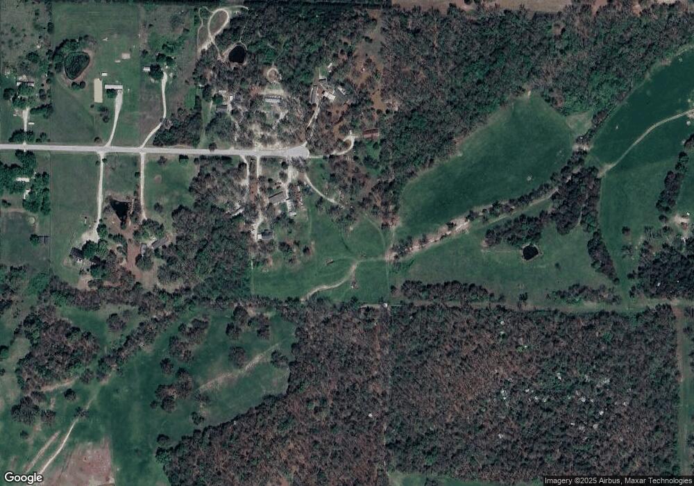
17492 Fur Rd Lebanon, MO 65536
Estimated Value: $108,000
4
Beds
2
Baths
1,512
Sq Ft
$71/Sq Ft
Est. Value
About This Home
This home is located at 17492 Fur Rd, Lebanon, MO 65536 and is currently priced at $108,000, approximately $71 per square foot. 17492 Fur Rd is a home located in Laclede County with nearby schools including Joel E. Barber Elementary School.
Ownership History
Date
Name
Owned For
Owner Type
Purchase Details
Closed on
Nov 29, 2017
Sold by
Perkins Alee and Perkins Brenda
Bought by
Sheets Danny and Sheets Amanda
Current Estimated Value
Purchase Details
Closed on
May 7, 2008
Sold by
Stapleton Marjorie L
Bought by
Stapleton Marjorie L and Davis Hugh
Home Financials for this Owner
Home Financials are based on the most recent Mortgage that was taken out on this home.
Original Mortgage
$51,895
Interest Rate
5.86%
Mortgage Type
FHA
Purchase Details
Closed on
Mar 21, 2006
Sold by
Fannie Mae
Bought by
Stapleton Marjorie L
Home Financials for this Owner
Home Financials are based on the most recent Mortgage that was taken out on this home.
Original Mortgage
$38,693
Interest Rate
6.21%
Mortgage Type
FHA
Create a Home Valuation Report for This Property
The Home Valuation Report is an in-depth analysis detailing your home's value as well as a comparison with similar homes in the area
Home Values in the Area
Average Home Value in this Area
Purchase History
| Date | Buyer | Sale Price | Title Company |
|---|---|---|---|
| Sheets Danny | -- | None Available | |
| Stapleton Marjorie L | -- | Nations Title Agency | |
| Stapleton Marjorie L | -- | Stkc |
Source: Public Records
Mortgage History
| Date | Status | Borrower | Loan Amount |
|---|---|---|---|
| Previous Owner | Stapleton Marjorie L | $51,895 | |
| Previous Owner | Stapleton Marjorie L | $38,693 |
Source: Public Records
Tax History Compared to Growth
Tax History
| Year | Tax Paid | Tax Assessment Tax Assessment Total Assessment is a certain percentage of the fair market value that is determined by local assessors to be the total taxable value of land and additions on the property. | Land | Improvement |
|---|---|---|---|---|
| 2025 | -- | $0 | $0 | $0 |
| 2024 | -- | $0 | $0 | $0 |
| 2023 | $59 | $0 | $0 | $0 |
| 2022 | $59 | $0 | $0 | $0 |
| 2021 | $59 | $0 | $0 | $0 |
| 2020 | $59 | $0 | $0 | $0 |
| 2019 | $59 | $1,250 | $1,250 | $0 |
| 2018 | $56 | $1,250 | $1,250 | $0 |
| 2017 | -- | $6,040 | $0 | $0 |
| 2016 | $275 | $6,040 | $0 | $0 |
| 2015 | $275 | $6,040 | $0 | $0 |
| 2014 | $275 | $6,040 | $0 | $0 |
| 2013 | -- | $6,040 | $0 | $0 |
Source: Public Records
Map
Nearby Homes
- 23119 Oneida Dr
- 18042 Highway 32
- 16525 Finch Rd
- 1328 Linda Cir
- 2301 Cranberry Ln
- 1225 Applelane Dr
- 1215 Glenridge St Unit 5, 6, 7, 8, 9
- 2176 Beck Ln
- 1 Ice Cream Way
- 3 Ice Cream Way
- 4 Ice Cream Way
- 23350 Marvel Dr
- TBD Phillips Dr
- 23315 Marvel Dr
- 475 Harrison St
- 1491 Brice St
- 639 W 4th St
- 286 Polk Ave
- 387 Harrison St
- 704 W 2nd St
