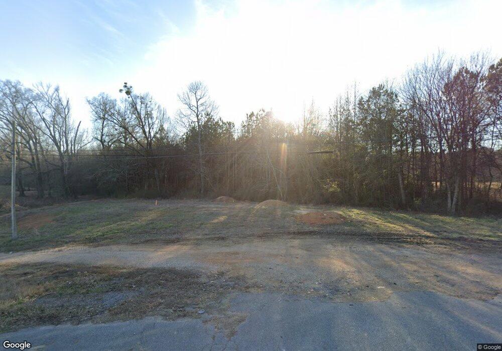
175 Anthony Dr NE Calhoun, GA 30701
Estimated Value: $261,000 - $293,000
3
Beds
2
Baths
1,999
Sq Ft
$138/Sq Ft
Est. Value
About This Home
This home is located at 175 Anthony Dr NE, Calhoun, GA 30701 and is currently estimated at $276,084, approximately $138 per square foot. 175 Anthony Dr NE is a home located in Gordon County with nearby schools including Red Bud Elementary School, Red Bud Middle School, and Sonoraville High School.
Ownership History
Date
Name
Owned For
Owner Type
Purchase Details
Closed on
Jun 16, 2004
Sold by
Hancock Gary
Bought by
Hancock Gary and Hancock Nancy O
Current Estimated Value
Purchase Details
Closed on
Nov 23, 2001
Sold by
Henson Roger Keith And
Bought by
Henson Tracie Linn Cook
Purchase Details
Closed on
Jan 25, 1993
Bought by
Henson Roger Keith And
Create a Home Valuation Report for This Property
The Home Valuation Report is an in-depth analysis detailing your home's value as well as a comparison with similar homes in the area
Home Values in the Area
Average Home Value in this Area
Purchase History
| Date | Buyer | Sale Price | Title Company |
|---|---|---|---|
| Hancock Gary | -- | -- | |
| Hancock Gary | $112,000 | -- | |
| Henson Tracie Linn Cook | -- | -- | |
| Henson Roger Keith And | $65,000 | -- |
Source: Public Records
Tax History Compared to Growth
Tax History
| Year | Tax Paid | Tax Assessment Tax Assessment Total Assessment is a certain percentage of the fair market value that is determined by local assessors to be the total taxable value of land and additions on the property. | Land | Improvement |
|---|---|---|---|---|
| 2024 | $1,372 | $80,460 | $5,880 | $74,580 |
| 2023 | $1,763 | $71,380 | $5,600 | $65,780 |
| 2022 | $1,741 | $66,460 | $5,600 | $60,860 |
| 2021 | $1,443 | $53,500 | $5,600 | $47,900 |
| 2020 | $1,494 | $54,140 | $5,600 | $48,540 |
| 2019 | $1,575 | $56,686 | $5,600 | $51,086 |
| 2018 | $1,316 | $47,686 | $5,320 | $42,366 |
| 2017 | $1,280 | $45,206 | $5,320 | $39,886 |
| 2016 | $1,283 | $45,206 | $5,320 | $39,886 |
| 2015 | $1,195 | $41,846 | $5,320 | $36,526 |
| 2014 | $979 | $35,628 | $4,760 | $30,868 |
Source: Public Records
Map
Nearby Homes
- 624 Newtown Creek Loop NE
- 121 Sunset Dr NE
- 311 Benstone Dr NE
- 311 Benstone Ddr NE
- 122 Caverns Way NE
- 110 Vogel St
- 0 Redwood St Unit 7563377
- 0 Redwood St Unit 10553706
- 0 Newtown Rd NE Unit 7019675
- 332 Newtown Rd NE
- 2148 Red Bud Rd NE
- 130 Red Oak Ln
- 126 Summerfield Ln NE
- 218 Newtown Rd
- 102 Sycamore Ln
- 114 Sycamore Ln
- 111 Sycamore Ln
- 116 Sycamore Ln
- 113 Sycamore Ln
- 149 Anthony Dr NE
- 149 Anthony Dr NE
- 182 Anthony Dr NE
- 198 Anthony Dr NE
- 154 Anthony Dr NE
- 0 Anthony Ave NE Unit 3223415
- 144 Anthony Dr NE
- 133 Anthony Dr NE
- 959 Newtown Rd NE
- 957 Newtown Rd NE
- 975 Newtown Rd NE
- 136 Anthony Dr NE
- 945 Newtown Rd NE
- 935 Newtown Rd NE
- 124 Anthony Dr NE
- 925 Newtown Rd NE
- 150 Mitchell St NE
- 915 Newtown Rd NE
- 110 Anthony Dr NE
- 122 Mitchell St NE
