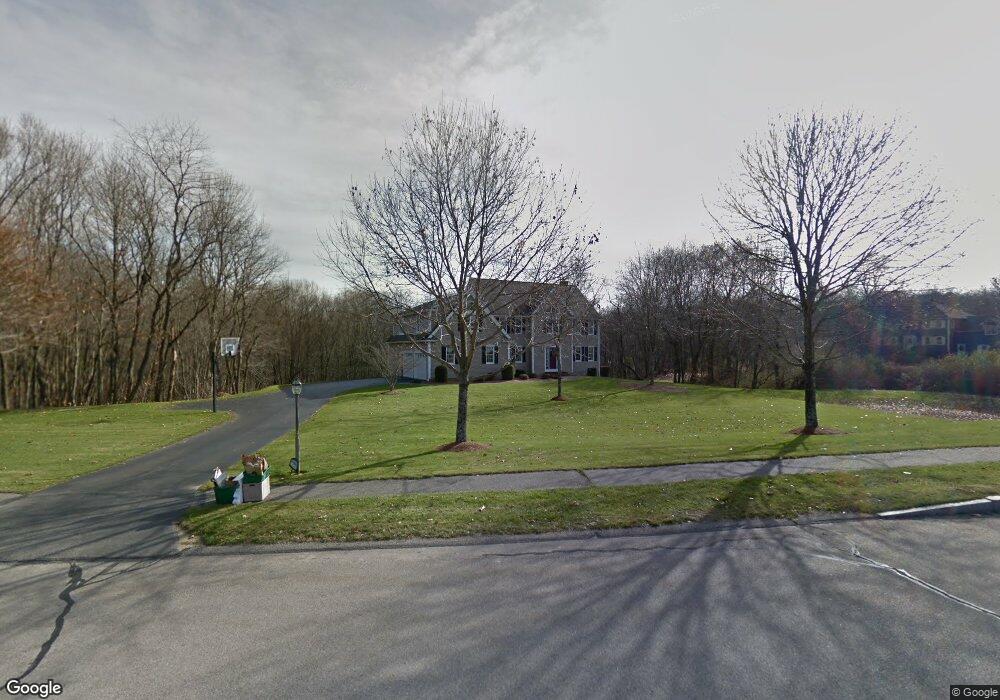
175 Autumn Rd Wrentham, MA 02093
West Wrentham NeighborhoodEstimated Value: $995,055 - $1,262,000
4
Beds
3
Baths
3,419
Sq Ft
$333/Sq Ft
Est. Value
About This Home
This home is located at 175 Autumn Rd, Wrentham, MA 02093 and is currently estimated at $1,137,014, approximately $332 per square foot. 175 Autumn Rd is a home located in Norfolk County with nearby schools including Delaney Elementary School, Charles E Roderick, and Mercymount Country Day School.
Ownership History
Date
Name
Owned For
Owner Type
Purchase Details
Closed on
Sep 12, 2016
Sold by
Rico Arthur R and Rico Janet S
Bought by
Arthut R Rico Jr T
Current Estimated Value
Purchase Details
Closed on
Sep 1, 1994
Sold by
Bailey & Zahner Bldrs
Bought by
Rico Arthur R and Rico Janet S
Home Financials for this Owner
Home Financials are based on the most recent Mortgage that was taken out on this home.
Original Mortgage
$232,000
Interest Rate
8.44%
Mortgage Type
Purchase Money Mortgage
Create a Home Valuation Report for This Property
The Home Valuation Report is an in-depth analysis detailing your home's value as well as a comparison with similar homes in the area
Home Values in the Area
Average Home Value in this Area
Purchase History
| Date | Buyer | Sale Price | Title Company |
|---|---|---|---|
| Arthut R Rico Jr T | -- | -- | |
| Rico Arthur R | $290,800 | -- |
Source: Public Records
Mortgage History
| Date | Status | Borrower | Loan Amount |
|---|---|---|---|
| Previous Owner | Rico Arthur R | $232,000 | |
| Previous Owner | Rico Arthur R | $232,600 |
Source: Public Records
Tax History
| Year | Tax Paid | Tax Assessment Tax Assessment Total Assessment is a certain percentage of the fair market value that is determined by local assessors to be the total taxable value of land and additions on the property. | Land | Improvement |
|---|---|---|---|---|
| 2025 | $9,853 | $850,100 | $296,700 | $553,400 |
| 2024 | $9,498 | $791,500 | $296,700 | $494,800 |
| 2023 | $9,627 | $762,800 | $270,600 | $492,200 |
| 2022 | $9,268 | $678,000 | $263,800 | $414,200 |
| 2021 | $8,833 | $627,800 | $247,100 | $380,700 |
| 2020 | $8,755 | $614,400 | $190,700 | $423,700 |
| 2019 | $8,401 | $595,000 | $190,700 | $404,300 |
| 2018 | $8,094 | $568,400 | $172,100 | $396,300 |
| 2017 | $7,865 | $551,900 | $168,800 | $383,100 |
| 2016 | $7,768 | $544,000 | $163,900 | $380,100 |
| 2015 | $7,731 | $516,100 | $157,600 | $358,500 |
| 2014 | $7,666 | $500,700 | $151,600 | $349,100 |
Source: Public Records
Map
Nearby Homes
- 60 Grant Ave
- 10 Follett Dr
- 1620 West St
- 1565 West St
- 2095 West St
- 172 Pine Swamp Rd
- 180 Pine Swamp Rd
- 56 Pine Swamp Rd
- 365 W Wrentham Rd
- 25 Nature View Dr
- 20 Nature View Dr
- 9 Reagan Ave
- 47 Austin Dr
- 900 Washington St Lot 2
- 9 Pebble Cir Unit 9
- 925 Washington St
- 65 Palmetto Dr Unit 65
- 21 Palmetto Dr Unit 21
- 24 Palmetto Dr Unit 24
- 9 Brookfield Ln
Your Personal Tour Guide
Ask me questions while you tour the home.