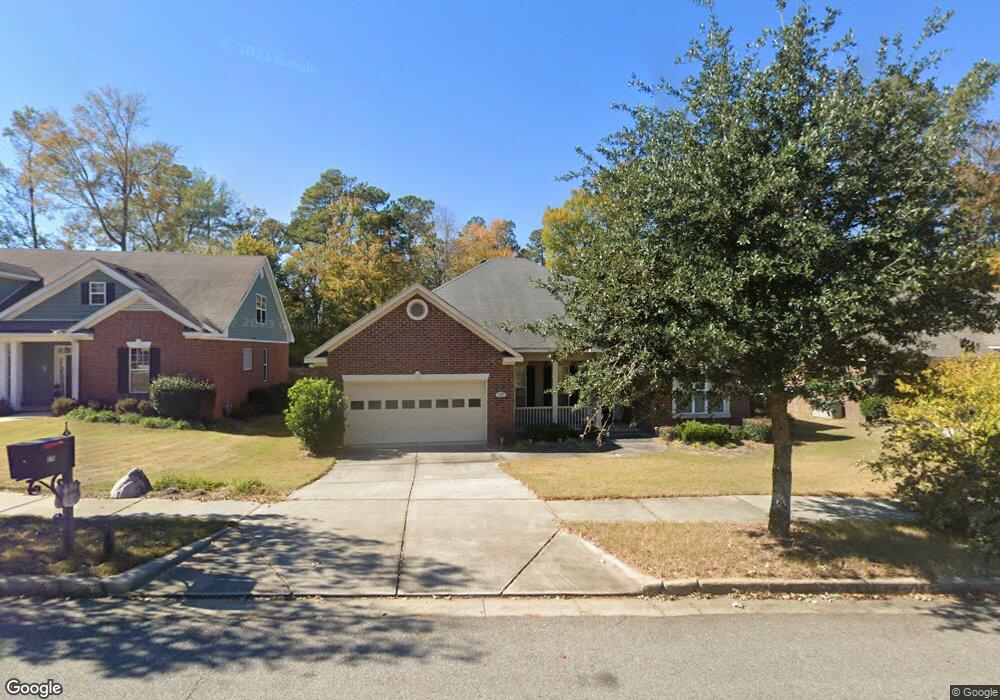
175 Blair Dr North Augusta, SC 29860
Estimated Value: $385,471 - $437,000
4
Beds
4
Baths
2,588
Sq Ft
$158/Sq Ft
Est. Value
About This Home
This home is located at 175 Blair Dr, North Augusta, SC 29860 and is currently estimated at $409,618, approximately $158 per square foot. 175 Blair Dr is a home located in Aiken County with nearby schools including North Augusta Elementary School, North Augusta Middle School, and North Augusta High School.
Ownership History
Date
Name
Owned For
Owner Type
Purchase Details
Closed on
Oct 30, 2009
Sold by
Bill Beazley Homes Inc
Bought by
Stergion Jason A
Current Estimated Value
Home Financials for this Owner
Home Financials are based on the most recent Mortgage that was taken out on this home.
Original Mortgage
$245,471
Outstanding Balance
$160,365
Interest Rate
5.01%
Mortgage Type
FHA
Estimated Equity
$249,253
Purchase Details
Closed on
Apr 23, 2009
Sold by
Bill Beazley Homes Inc
Bought by
Beazley Development Co Inc
Purchase Details
Closed on
Aug 6, 2008
Sold by
Beazley Development Co Inc
Bought by
Bill Beazley Homes Inc
Create a Home Valuation Report for This Property
The Home Valuation Report is an in-depth analysis detailing your home's value as well as a comparison with similar homes in the area
Home Values in the Area
Average Home Value in this Area
Purchase History
| Date | Buyer | Sale Price | Title Company |
|---|---|---|---|
| Stergion Jason A | $250,000 | -- | |
| Beazley Development Co Inc | -- | -- | |
| Bill Beazley Homes Inc | $110,700 | -- |
Source: Public Records
Mortgage History
| Date | Status | Borrower | Loan Amount |
|---|---|---|---|
| Open | Stergion Jason A | $245,471 |
Source: Public Records
Tax History Compared to Growth
Tax History
| Year | Tax Paid | Tax Assessment Tax Assessment Total Assessment is a certain percentage of the fair market value that is determined by local assessors to be the total taxable value of land and additions on the property. | Land | Improvement |
|---|---|---|---|---|
| 2023 | $1,061 | $10,570 | $2,000 | $214,220 |
| 2022 | $1,032 | $10,570 | $0 | $0 |
| 2021 | $1,034 | $10,570 | $0 | $0 |
| 2020 | $942 | $9,500 | $0 | $0 |
| 2019 | $942 | $9,500 | $0 | $0 |
| 2018 | $944 | $9,500 | $1,680 | $7,820 |
| 2017 | $897 | $0 | $0 | $0 |
| 2016 | $898 | $0 | $0 | $0 |
| 2015 | $990 | $0 | $0 | $0 |
| 2014 | $992 | $0 | $0 | $0 |
| 2013 | -- | $0 | $0 | $0 |
Source: Public Records
Map
Nearby Homes
- 000 Country Club Hills Dr
- 2209 Maple Dr
- 203 Preston Ct
- 243 Bonhill St
- 251 Bonhill St
- 837 Lynbrook Ct
- 112 Claridge St
- 138 Claridge St
- 883 Lynbrook Ct
- 458 Bridle Path Rd
- 131 Claridge St
- 401 Cooper Mill Rd
- 230 Longstreet Crossing
- 122 Rippling Creek Ln
- 2001 Mayfield Dr
- 190 Oak Brook Dr Unit 75
- 190 Oak Brook Dr
- 174 Oak Brook Dr
- 168 Oak Brook Dr
- 1038 Dietrich Ln