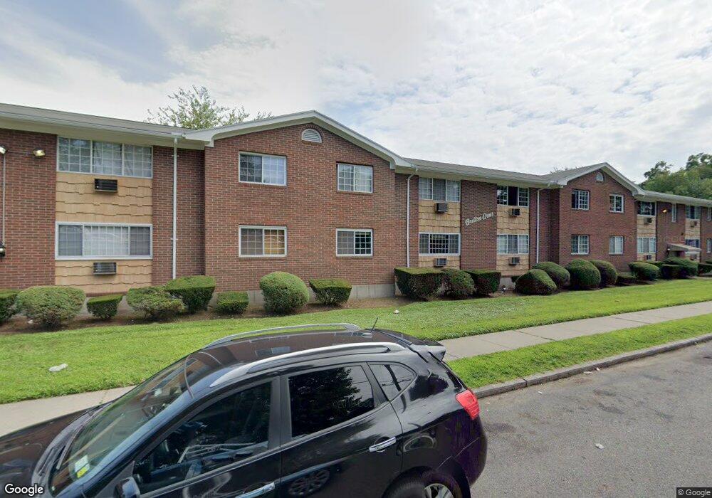
175 Bretton St Unit A3 Bridgeport, CT 06606
North End NeighborhoodEstimated Value: $129,000 - $169,000
1
Bed
1
Bath
626
Sq Ft
$238/Sq Ft
Est. Value
About This Home
This home is located at 175 Bretton St Unit A3, Bridgeport, CT 06606 and is currently estimated at $149,172, approximately $238 per square foot. 175 Bretton St Unit A3 is a home located in Fairfield County with nearby schools including Blackham School, Central High School, and Capital Prep Harbor Upper School.
Ownership History
Date
Name
Owned For
Owner Type
Purchase Details
Closed on
Apr 8, 2010
Sold by
Sternberg Roy M and Sternberg Rosalind
Bought by
Southstar Trend Llc
Current Estimated Value
Purchase Details
Closed on
Dec 21, 1999
Sold by
Pepe Martin J and Pepe Barbara A
Bought by
Sternberg Rosalind
Purchase Details
Closed on
Feb 24, 1997
Sold by
Wilshire Credit Corp
Bought by
Pepe Martin J and Pepe Barbara A
Create a Home Valuation Report for This Property
The Home Valuation Report is an in-depth analysis detailing your home's value as well as a comparison with similar homes in the area
Home Values in the Area
Average Home Value in this Area
Purchase History
| Date | Buyer | Sale Price | Title Company |
|---|---|---|---|
| Southstar Trend Llc | -- | -- | |
| Southstar Trend Llc | -- | -- | |
| Sternberg Rosalind | $31,000 | -- | |
| Sternberg Rosalind | $31,000 | -- | |
| Pepe Martin J | $19,000 | -- | |
| Pepe Martin J | $19,000 | -- |
Source: Public Records
Tax History
| Year | Tax Paid | Tax Assessment Tax Assessment Total Assessment is a certain percentage of the fair market value that is determined by local assessors to be the total taxable value of land and additions on the property. | Land | Improvement |
|---|---|---|---|---|
| 2025 | $2,061 | $47,440 | $0 | $47,440 |
| 2024 | $2,061 | $47,440 | $0 | $47,440 |
| 2023 | $2,061 | $47,440 | $0 | $47,440 |
| 2022 | $2,061 | $47,440 | $0 | $47,440 |
| 2021 | $2,061 | $47,440 | $0 | $47,440 |
| 2020 | $1,546 | $28,640 | $0 | $28,640 |
| 2019 | $1,546 | $28,640 | $0 | $28,640 |
| 2018 | $1,557 | $28,640 | $0 | $28,640 |
| 2017 | $1,557 | $28,640 | $0 | $28,640 |
| 2016 | $1,557 | $28,640 | $0 | $28,640 |
| 2015 | $2,494 | $59,110 | $0 | $59,110 |
| 2014 | $2,494 | $59,110 | $0 | $59,110 |
Source: Public Records
Map
Nearby Homes
- 525 Westfield Ave
- 26 Marsdale Ave
- 405 Westfield Ave
- 625 Clark St
- 604 Birmingham St
- 631 Fairview Ave
- 234 Savoy St
- 383 Birmingham St
- 235 Burnsford Ave
- 11 Stratfield Place
- 252 Harlem Ave Unit C4
- 260 Toilsome Place
- 646 Merritt St
- 3200 Park Ave Unit 5F1
- 120 Clark St
- 254 Wayne St
- 95 Alexander Ave
- 375 Ruth St
- 95-97 Savoy St
- 932 Thorme St
- 175 Bretton St Unit B12
- 175 Bretton St Unit B11
- 175 Bretton St Unit B9
- 175 Bretton St Unit A12
- 175 Bretton St Unit A11
- 175 Bretton St Unit A10
- 175 Bretton St Unit A9
- 175 Bretton St Unit A8
- 175 Bretton St Unit A7
- 175 Bretton St Unit A6
- 175 Bretton St Unit A5
- 175 Bretton St Unit A4
- 175 Bretton St Unit A2
- 175 Bretton St Unit A1
- 175 Bretton St Unit B7
- 185 Bretton St Unit B12
- 185 Bretton St Unit B10
- 185 Bretton St Unit B8
- 185 Bretton St Unit B7
- 185 Bretton St Unit B6
Your Personal Tour Guide
Ask me questions while you tour the home.