Estimated Value: $163,000 - $202,000
2
Beds
1
Bath
930
Sq Ft
$197/Sq Ft
Est. Value
About This Home
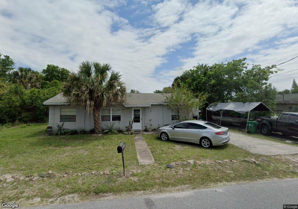
This home is located at 175 Capron Rd, Cocoa, FL 32927 and is currently estimated at $183,479, approximately $197 per square foot. 175 Capron Rd is a home located in Brevard County with nearby schools including Atlantis Elementary School, Space Coast Junior/Senior High School, and East Atlantic Prep of Brevard County.
Ownership History
Date
Name
Owned For
Owner Type
Purchase Details
Closed on
Apr 27, 2012
Sold by
Rock Cherie
Bought by
Land #175 and Land Trust Service Corporation
Current Estimated Value
Purchase Details
Closed on
Apr 18, 1997
Sold by
Fortuno John M and Fortuno Samuel S
Bought by
Rock Cherie
Purchase Details
Closed on
Apr 16, 1997
Sold by
Fortuno Nicholas and Fortuno Samuel S
Bought by
Rock Cherie
Purchase Details
Closed on
Apr 15, 1997
Sold by
Anselmo Tina Marie and Fortuno Samuel S
Bought by
Rock Cherie
Create a Home Valuation Report for This Property
The Home Valuation Report is an in-depth analysis detailing your home's value as well as a comparison with similar homes in the area
Home Values in the Area
Average Home Value in this Area
Purchase History
| Date | Buyer | Sale Price | Title Company |
|---|---|---|---|
| Land #175 | -- | None Available | |
| Rock Cherie | $20,000 | -- | |
| Rock Cherie | -- | -- | |
| Rock Cherie | -- | -- |
Source: Public Records
Tax History
| Year | Tax Paid | Tax Assessment Tax Assessment Total Assessment is a certain percentage of the fair market value that is determined by local assessors to be the total taxable value of land and additions on the property. | Land | Improvement |
|---|---|---|---|---|
| 2025 | $1,844 | $129,970 | -- | -- |
| 2024 | $1,890 | $128,660 | -- | -- |
| 2023 | $1,890 | $141,130 | $0 | $0 |
| 2022 | $1,684 | $130,930 | $0 | $0 |
| 2021 | $1,011 | $90,810 | $42,000 | $48,810 |
| 2020 | $1,380 | $84,750 | $40,000 | $44,750 |
| 2019 | $1,291 | $81,440 | $35,000 | $46,440 |
| 2018 | $1,218 | $72,110 | $27,000 | $45,110 |
| 2017 | $1,144 | $62,050 | $24,000 | $38,050 |
| 2016 | $1,048 | $48,870 | $18,000 | $30,870 |
| 2015 | $656 | $35,840 | $15,000 | $20,840 |
| 2014 | $576 | $32,590 | $11,000 | $21,590 |
Source: Public Records
Map
Nearby Homes
- 208 Capron Rd
- 873 Dunbar St
- 865 Dunbar St
- 214 Chase Rd
- 0 Kanawha St
- 7400 N Highway 1 Unit 105
- 7470 N Highway 1 Unit 105
- 000 Arabella Ln
- 7420 U S Route 1 Unit 106
- 7350 N Highway 1 Unit 201
- 7330 N Highway 1 Unit 206
- 7310 N Highway 1 Unit 201
- 7300 N Highway 1 Unit 104
- 361 Payne Ave
- 973 Poinsetta St
- 977 Poinsetta St
- 00 Kings Hwy
- 7240 N Highway 1 Unit 106
- 414 Oakridge Ave
- 925 MacCo Rd
Your Personal Tour Guide
Ask me questions while you tour the home.