175 Center Dr Mooresville, IN 46158
Estimated Value: $186,000 - $210,000
2
Beds
2
Baths
1,068
Sq Ft
$185/Sq Ft
Est. Value
About This Home
This home is located at 175 Center Dr, Mooresville, IN 46158 and is currently estimated at $197,415, approximately $184 per square foot. 175 Center Dr is a home located in Morgan County with nearby schools including Mooresville High School and Mooresville Christian Academy.
Ownership History
Date
Name
Owned For
Owner Type
Purchase Details
Closed on
Aug 30, 2024
Sold by
Denny Michael A
Bought by
Drummond Amber and Drummond Kyle
Current Estimated Value
Purchase Details
Closed on
Jun 10, 2020
Sold by
Denny Michael A and Denny Michelle J
Bought by
Denny Michael A
Home Financials for this Owner
Home Financials are based on the most recent Mortgage that was taken out on this home.
Original Mortgage
$78,000
Interest Rate
3.2%
Mortgage Type
New Conventional
Create a Home Valuation Report for This Property
The Home Valuation Report is an in-depth analysis detailing your home's value as well as a comparison with similar homes in the area
Home Values in the Area
Average Home Value in this Area
Purchase History
| Date | Buyer | Sale Price | Title Company |
|---|---|---|---|
| Drummond Amber | $180,000 | Amrock Llc | |
| Denny Michael A | -- | Inspire Closing Services Llc |
Source: Public Records
Mortgage History
| Date | Status | Borrower | Loan Amount |
|---|---|---|---|
| Previous Owner | Denny Michael A | $78,000 |
Source: Public Records
Tax History Compared to Growth
Tax History
| Year | Tax Paid | Tax Assessment Tax Assessment Total Assessment is a certain percentage of the fair market value that is determined by local assessors to be the total taxable value of land and additions on the property. | Land | Improvement |
|---|---|---|---|---|
| 2024 | $713 | $132,600 | $44,100 | $88,500 |
| 2023 | $702 | $129,900 | $44,100 | $85,800 |
| 2022 | $703 | $122,100 | $44,100 | $78,000 |
| 2021 | $627 | $115,200 | $29,400 | $85,800 |
| 2020 | $591 | $115,200 | $29,400 | $85,800 |
| 2019 | $438 | $99,500 | $22,100 | $77,400 |
| 2018 | $361 | $90,100 | $16,900 | $73,200 |
| 2017 | $351 | $89,100 | $16,900 | $72,200 |
| 2016 | $283 | $77,200 | $16,900 | $60,300 |
| 2014 | $234 | $79,600 | $16,900 | $62,700 |
| 2013 | $234 | $65,400 | $16,900 | $48,500 |
Source: Public Records
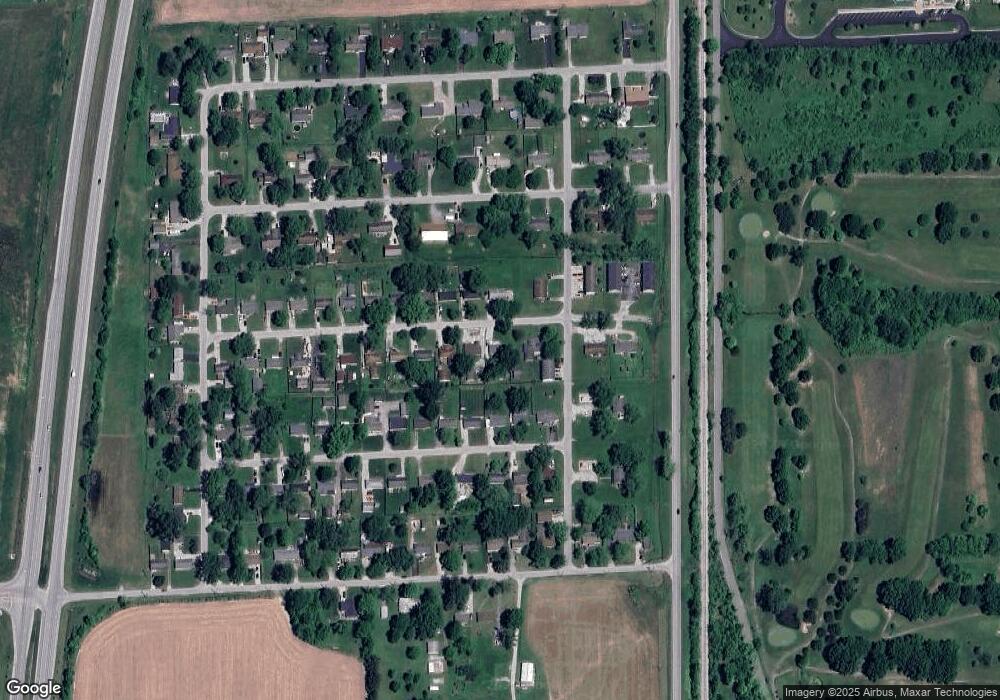
Map
Nearby Homes
- 207 Center Dr
- 126-128 Allen Dr
- 192 Cohen Dr
- Lot 6 Watson Rd
- 50 Kings Ct
- 0 E Dayhuff Rd Unit MBR22042688
- 0 E Dayhuff Rd Unit MBR22063918
- 8245 Henderson Ridge Dr
- Lot 2 Whitetail Ridge
- Lot 6 Whitetail Ridge
- Lot 5 Whitetail Ridge
- Lot 3 Whitetail Ridge
- Lot 1 Whitetail Ridge
- Lot 4 Whitetail Ridge
- 28 Rohn Rd
- 0 Whitetail Ridge Lot 3
- 8548 N Observatory Ln
- 3459 E Centenary Rd
- 4650 E Shady Ln
- O Legacy Estates-Lot 5