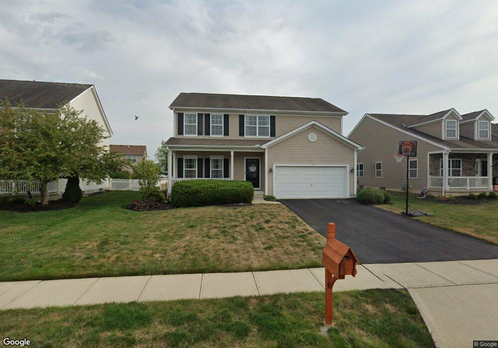
175 Cherrytree Ln Commercial Point, OH 43116
Estimated Value: $374,430 - $453,000
4
Beds
3
Baths
2,280
Sq Ft
$179/Sq Ft
Est. Value
About This Home
This home is located at 175 Cherrytree Ln, Commercial Point, OH 43116 and is currently estimated at $407,108, approximately $178 per square foot. 175 Cherrytree Ln is a home located in Pickaway County.
Ownership History
Date
Name
Owned For
Owner Type
Purchase Details
Closed on
Dec 31, 2009
Sold by
Westport Homes Inc
Bought by
Abram Andrew G and Abram Natalie M
Current Estimated Value
Home Financials for this Owner
Home Financials are based on the most recent Mortgage that was taken out on this home.
Original Mortgage
$188,475
Outstanding Balance
$120,039
Interest Rate
4.84%
Mortgage Type
New Conventional
Estimated Equity
$287,069
Purchase Details
Closed on
Aug 19, 2009
Sold by
Triton Development Llc
Bought by
Westport Homes Inc
Create a Home Valuation Report for This Property
The Home Valuation Report is an in-depth analysis detailing your home's value as well as a comparison with similar homes in the area
Home Values in the Area
Average Home Value in this Area
Purchase History
| Date | Buyer | Sale Price | Title Company |
|---|---|---|---|
| Abram Andrew G | $188,500 | Talon | |
| Westport Homes Inc | $20,500 | Talon Title |
Source: Public Records
Mortgage History
| Date | Status | Borrower | Loan Amount |
|---|---|---|---|
| Open | Abram Andrew G | $188,475 |
Source: Public Records
Tax History
| Year | Tax Paid | Tax Assessment Tax Assessment Total Assessment is a certain percentage of the fair market value that is determined by local assessors to be the total taxable value of land and additions on the property. | Land | Improvement |
|---|---|---|---|---|
| 2025 | $5,693 | $110,300 | $12,820 | $97,480 |
| 2024 | $5,693 | $110,300 | $12,820 | $97,480 |
| 2023 | $4,149 | $110,300 | $12,820 | $97,480 |
| 2022 | $3,573 | $87,270 | $10,680 | $76,590 |
| 2021 | $3,584 | $87,270 | $10,680 | $76,590 |
| 2020 | $3,585 | $87,270 | $10,680 | $76,590 |
| 2019 | $2,856 | $73,180 | $10,680 | $62,500 |
| 2018 | $2,852 | $73,180 | $10,680 | $62,500 |
| 2017 | $3,846 | $73,180 | $10,680 | $62,500 |
| 2016 | $2,617 | $65,290 | $8,170 | $57,120 |
| 2015 | $2,618 | $65,290 | $8,170 | $57,120 |
| 2014 | $2,621 | $65,290 | $8,170 | $57,120 |
| 2013 | $2,726 | $65,290 | $8,170 | $57,120 |
Source: Public Records
Map
Nearby Homes
- 161 Chestnut Estates Dr
- 182 Honey Locust Ln
- 159 Chestnut Commons Dr
- 161 Rosewood Loop SE
- 190 Rosewood Loop SW
- 201 Rosewood Loop SW
- 305 Cherry Hills Rd
- 282 Olympic Loop
- 289 Arledge Dr
- 24 Erin Hills Rd
- 290 Olympic Loop
- 359 Oakmont Dr
- 62 Chambers Bay Rd
- 277 Olympic Loop
- 298 Shady Hollow Dr
- 304 Cherry Hills Rd
- 56 Chambers Bay Rd
- 358 Oakmont Dr
- 507 Walker Pointe Dr
- 66 Genoa Cir
- 177 Cherrytree Ln
- 173 Cherrytree Ln
- 173 Cherry Tree Ln
- 179 Cherrytree Ln
- 175 Chestnut Estates Dr
- 171 Cherrytree Ln
- 177 Chestnut Estates Dr
- 173 Chestnut Estates Dr
- 174 Cherrytree Ln
- 176 Cherrytree Ln
- 178 Chestnut Estates Dr
- 171 Chestnut Estates Dr
- 181 Cherry Tree Ln
- 172 Cherrytree Ln
- 181 Cherrytree Ln
- 178 Cherrytree Ln
- 169 Cherrytree Ln
- 169 Chestnut Estates Dr
- 170 Cherrytree Ln
- 180 Cherry Tree Ln
Your Personal Tour Guide
Ask me questions while you tour the home.