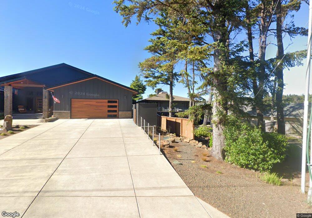
175 Cliff St Depoe Bay, OR 97341
Estimated Value: $929,595 - $1,167,000
4
Beds
3
Baths
1,440
Sq Ft
$732/Sq Ft
Est. Value
About This Home
This home is located at 175 Cliff St, Depoe Bay, OR 97341 and is currently estimated at $1,053,649, approximately $731 per square foot. 175 Cliff St is a home located in Lincoln County with nearby schools including Taft Elementary School, Oceanlake Elementary School, and Taft High School.
Ownership History
Date
Name
Owned For
Owner Type
Purchase Details
Closed on
May 11, 2022
Sold by
175 Sw Cliff Llc
Bought by
Shelly Stevens Family Trust
Current Estimated Value
Purchase Details
Closed on
Oct 3, 2017
Sold by
Christin John P and Christin Karen J
Bought by
175 Sw Cliff Llc
Purchase Details
Closed on
Feb 5, 2015
Sold by
Zeman Lous C
Bought by
Christin John P and Christin Karen J
Home Financials for this Owner
Home Financials are based on the most recent Mortgage that was taken out on this home.
Original Mortgage
$300,000
Interest Rate
3.76%
Mortgage Type
New Conventional
Create a Home Valuation Report for This Property
The Home Valuation Report is an in-depth analysis detailing your home's value as well as a comparison with similar homes in the area
Home Values in the Area
Average Home Value in this Area
Purchase History
| Date | Buyer | Sale Price | Title Company |
|---|---|---|---|
| Shelly Stevens Family Trust | $1,000,000 | Frontier Title & Escrow | |
| 175 Sw Cliff Llc | -- | None Available | |
| Christin John P | $400,000 | Wte |
Source: Public Records
Mortgage History
| Date | Status | Borrower | Loan Amount |
|---|---|---|---|
| Previous Owner | Christin John P | $300,000 |
Source: Public Records
Tax History Compared to Growth
Tax History
| Year | Tax Paid | Tax Assessment Tax Assessment Total Assessment is a certain percentage of the fair market value that is determined by local assessors to be the total taxable value of land and additions on the property. | Land | Improvement |
|---|---|---|---|---|
| 2024 | $7,776 | $598,410 | -- | -- |
| 2023 | $7,429 | $580,990 | $0 | $0 |
| 2022 | $7,214 | $564,070 | $0 | $0 |
| 2021 | $7,279 | $547,650 | $0 | $0 |
| 2020 | $7,092 | $531,700 | $0 | $0 |
| 2019 | $6,875 | $531,550 | $0 | $0 |
| 2018 | $6,699 | $516,070 | $0 | $0 |
| 2017 | $6,475 | $501,040 | $0 | $0 |
| 2016 | $6,303 | $486,450 | $0 | $0 |
| 2015 | $5,644 | $463,360 | $0 | $0 |
| 2014 | $5,245 | $449,870 | $0 | $0 |
| 2013 | -- | $436,770 | $0 | $0 |
Source: Public Records
Map
Nearby Homes
- TL 3900 SW Coast Ave
- 424 Cliff St
- 525 SW Point Ave
- 475 SW Coast Ave
- 648 Painter Ln
- 45 Heiberg St
- 0 S Highway 101 Unit 802597
- 462 SW Coast Ave
- 460 SW Coast Ave
- 1085 SW Walking Wood
- 665 SE Indian Trail Ave
- 215 Nesting Glade
- 425 SE Shell Ave Unit 4
- 425 SE Shell Ave
- 450 SE Shell Ave Unit 2
- 450 SE Shell Ave Unit 3
- 450 SE Shell Ave Unit 1
- 465 SW Edgewater
- 187 SE South 40 Ln
- 535 SW Cardinal St
- 175 SW Cliff St
- 205 SW Cliff St
- 165 SW Cliff St
- 155 Cliff St
- 205 Cliff St
- 215 SW Cliff St
- 155 SW Cliff St
- 170 Cliff St
- 170 SW Cliff St
- 220 Cliff St
- 230 Cliff St
- 835 Manzanita St
- 145 Cliff St
- 835 Manzanita Ave
- 225 SW Cliff St
- 225 Cliff St
- 210 Cliff St
- 800 Blk Sw Manzanita Avenue Tl6200
- 235 SW Cliff St
- 235 Cliff St