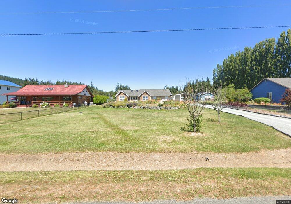
175 David St Camano Island, WA 98282
Estimated Value: $791,298 - $923,000
3
Beds
2
Baths
1,850
Sq Ft
$468/Sq Ft
Est. Value
About This Home
This home is located at 175 David St, Camano Island, WA 98282 and is currently estimated at $865,075, approximately $467 per square foot. 175 David St is a home located in Island County with nearby schools including Utsalady Elementary School, Port Susan Middle School, and Stanwood High School.
Ownership History
Date
Name
Owned For
Owner Type
Purchase Details
Closed on
Oct 21, 2021
Sold by
Johnson Kenneth Clyde and Johnson Carol Lynn
Bought by
Brewer Devon and Brewer Kathleen
Current Estimated Value
Home Financials for this Owner
Home Financials are based on the most recent Mortgage that was taken out on this home.
Original Mortgage
$536,000
Outstanding Balance
$487,720
Interest Rate
2.8%
Mortgage Type
New Conventional
Estimated Equity
$377,355
Purchase Details
Closed on
Jul 25, 2006
Sold by
Mueller Gerald and Mueller Donna J
Bought by
Johnson Kenneth Cydle and Johnson Carol Lynn
Create a Home Valuation Report for This Property
The Home Valuation Report is an in-depth analysis detailing your home's value as well as a comparison with similar homes in the area
Home Values in the Area
Average Home Value in this Area
Purchase History
| Date | Buyer | Sale Price | Title Company |
|---|---|---|---|
| Brewer Devon | $670,000 | Premier Title | |
| Johnson Kenneth Cydle | $389,000 | Chicago Title Co Island Div |
Source: Public Records
Mortgage History
| Date | Status | Borrower | Loan Amount |
|---|---|---|---|
| Open | Brewer Devon | $536,000 |
Source: Public Records
Tax History Compared to Growth
Tax History
| Year | Tax Paid | Tax Assessment Tax Assessment Total Assessment is a certain percentage of the fair market value that is determined by local assessors to be the total taxable value of land and additions on the property. | Land | Improvement |
|---|---|---|---|---|
| 2025 | $5,709 | $769,675 | $350,000 | $419,675 |
| 2024 | $5,653 | $764,484 | $340,000 | $424,484 |
| 2023 | $5,653 | $729,296 | $300,000 | $429,296 |
| 2022 | $4,634 | $651,997 | $260,000 | $391,997 |
| 2021 | $4,410 | $493,600 | $190,000 | $303,600 |
| 2020 | $4,025 | $454,749 | $160,000 | $294,749 |
| 2019 | $3,826 | $408,930 | $190,000 | $218,930 |
| 2018 | $3,409 | $389,529 | $170,000 | $219,529 |
| 2017 | $2,957 | $320,630 | $100,000 | $220,630 |
| 2016 | $3,363 | $308,029 | $85,000 | $223,029 |
| 2015 | $3,464 | $338,649 | $100,000 | $238,649 |
| 2013 | -- | $328,770 | $85,000 | $243,770 |
Source: Public Records
Map
Nearby Homes
- 157 Russell Rd
- 245 David St
- 244 David St
- 230 Rocky Mountain High Rd
- 326 Prestwick Dr
- 446 Lehman Dr
- 269 E Lochwood Dr
- 375 Glengarry Dr
- 251 Goodrich Rd
- 501 S Vesper Way
- 169 Driftwood Shores Rd
- 505 Michelle Dr
- 362 N Sunrise Blvd
- 474 Stirling Dr
- 0 xx Nhn Wayne's Ridge Cir
- 223 S Camano Ridge Rd
- 514 Waynes Ridge Cir
- 0 Dodge Rd Unit NWM2434437
- 638 Michael Way
- 441 Windsun Way