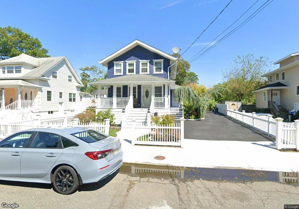
175 Edwards Ave Long Branch, NJ 07740
Estimated Value: $490,045 - $604,000
3
Beds
2
Baths
1,260
Sq Ft
$439/Sq Ft
Est. Value
About This Home
This home is located at 175 Edwards Ave, Long Branch, NJ 07740 and is currently estimated at $553,261, approximately $439 per square foot. 175 Edwards Ave is a home located in Monmouth County with nearby schools including Long Branch High School and Holy Trinity School.
Ownership History
Date
Name
Owned For
Owner Type
Purchase Details
Closed on
Jan 10, 2002
Sold by
Conceicao Pedro
Bought by
Garcia Mario Hernandez
Current Estimated Value
Home Financials for this Owner
Home Financials are based on the most recent Mortgage that was taken out on this home.
Original Mortgage
$119,800
Interest Rate
7.04%
Create a Home Valuation Report for This Property
The Home Valuation Report is an in-depth analysis detailing your home's value as well as a comparison with similar homes in the area
Home Values in the Area
Average Home Value in this Area
Purchase History
| Date | Buyer | Sale Price | Title Company |
|---|---|---|---|
| Garcia Mario Hernandez | $149,800 | -- |
Source: Public Records
Mortgage History
| Date | Status | Borrower | Loan Amount |
|---|---|---|---|
| Previous Owner | Garcia Mario Hernandez | $119,800 |
Source: Public Records
Tax History
| Year | Tax Paid | Tax Assessment Tax Assessment Total Assessment is a certain percentage of the fair market value that is determined by local assessors to be the total taxable value of land and additions on the property. | Land | Improvement |
|---|---|---|---|---|
| 2025 | $6,322 | $439,600 | $249,400 | $190,200 |
| 2024 | $5,637 | $411,300 | $229,400 | $181,900 |
| 2023 | $5,637 | $363,000 | $189,400 | $173,600 |
| 2022 | $4,902 | $290,000 | $137,000 | $153,000 |
| 2021 | $4,902 | $245,000 | $102,000 | $143,000 |
| 2020 | $4,832 | $231,200 | $89,000 | $142,200 |
| 2019 | $4,637 | $220,600 | $85,000 | $135,600 |
| 2018 | $4,516 | $213,600 | $83,000 | $130,600 |
| 2017 | $4,625 | $224,400 | $81,000 | $143,400 |
| 2016 | $4,683 | $231,700 | $92,000 | $139,700 |
| 2015 | $4,067 | $182,600 | $56,100 | $126,500 |
| 2014 | $3,869 | $183,100 | $70,800 | $112,300 |
Source: Public Records
Map
Nearby Homes
- 401 Joline Ave
- 428 Atlantic Ave
- 516 Atlantic Ave
- 134 Lippincott Ave
- 117 Laurel St
- 139 Sixth Ave
- 75 Washington St
- 631 Irving Place
- 267 N 5th Ave
- 275 N 5th Ave
- 395 Broadway
- 282 Rockwell Ave
- 40 N 5th Ave
- 66 Seneca Place
- 40 University Dr
- 448 Branchport Ave
- 68 Seneca Place
- 25 Community Place
- 28 Morrell St
- 236 Seaview Ave
- 485 Joline Ave
- 485 Joline Ave Unit 2
- 485 Joline Ave Unit s 2
- 485 Joline Ave Unit S 2 and 3
- 483 Joline Ave
- 479 Joline Ave
- 181 Edwards Ave
- 475 Joline Ave
- 185 Edwards Ave
- 182 Edwards Ave
- 189 Edwards Ave
- 461 Joline Ave
- 186 Edwards Ave
- 432 Pacific St
- 193 Edwards Ave
- 428 Pacific St
- 190 Edwards Ave
- 449 Joline Ave
- 424 Pacific St
- 180 Coleman Ave
Your Personal Tour Guide
Ask me questions while you tour the home.