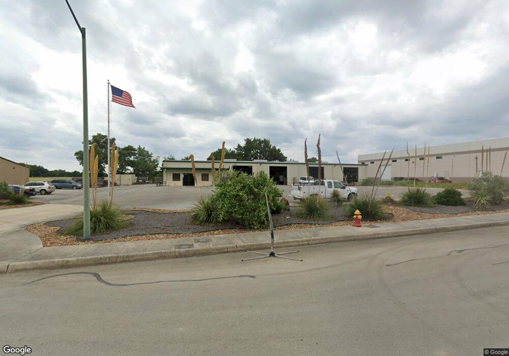
175 Enterprise Pkwy Boerne, TX 78006
Estimated Value: $1,781,197
--
Bed
--
Bath
10,200
Sq Ft
$175/Sq Ft
Est. Value
About This Home
This home is located at 175 Enterprise Pkwy, Boerne, TX 78006 and is currently estimated at $1,781,197, approximately $174 per square foot. 175 Enterprise Pkwy is a home located in Kendall County with nearby schools including Kendall Elementary School, Boerne Middle School South, and Samuel V. Champion High School.
Ownership History
Date
Name
Owned For
Owner Type
Purchase Details
Closed on
Jan 15, 2025
Sold by
Scosa Properties Llc
Bought by
Vwh Holdings Llc
Current Estimated Value
Home Financials for this Owner
Home Financials are based on the most recent Mortgage that was taken out on this home.
Original Mortgage
$1,785,000
Outstanding Balance
$1,772,315
Interest Rate
6.69%
Mortgage Type
New Conventional
Estimated Equity
$8,882
Create a Home Valuation Report for This Property
The Home Valuation Report is an in-depth analysis detailing your home's value as well as a comparison with similar homes in the area
Home Values in the Area
Average Home Value in this Area
Purchase History
| Date | Buyer | Sale Price | Title Company |
|---|---|---|---|
| Vwh Holdings Llc | -- | Capital Title | |
| Vwh Holdings Llc | -- | Capital Title |
Source: Public Records
Mortgage History
| Date | Status | Borrower | Loan Amount |
|---|---|---|---|
| Open | Vwh Holdings Llc | $1,785,000 | |
| Closed | Vwh Holdings Llc | $1,785,000 |
Source: Public Records
Tax History Compared to Growth
Tax History
| Year | Tax Paid | Tax Assessment Tax Assessment Total Assessment is a certain percentage of the fair market value that is determined by local assessors to be the total taxable value of land and additions on the property. | Land | Improvement |
|---|---|---|---|---|
| 2025 | $26,605 | $1,437,930 | $659,540 | $778,390 |
| 2024 | $26,605 | $1,437,930 | $659,540 | $778,390 |
| 2023 | $26,710 | $1,437,930 | $659,540 | $778,390 |
| 2022 | $21,372 | $1,056,830 | $494,660 | $562,170 |
| 2021 | $13,969 | $652,290 | $219,850 | $432,440 |
| 2020 | $14,179 | $652,290 | $219,850 | $432,440 |
| 2019 | $14,635 | $652,290 | $219,850 | $432,440 |
| 2018 | $14,635 | $652,290 | $219,850 | $432,440 |
| 2017 | $14,358 | $650,930 | $219,850 | $431,080 |
| 2016 | $14,358 | $650,930 | $219,850 | $431,080 |
| 2015 | $14,189 | $655,370 | $219,850 | $435,520 |
| 2014 | $14,189 | $655,370 | $219,850 | $435,520 |
| 2013 | -- | $659,850 | $224,330 | $435,520 |
Source: Public Records
Map
Nearby Homes
- 104 Katie Ct
- 241 Winding Path
- 141 Shadow Knolls
- 129 Windmill Breeze
- 229 Katie Ct
- 224 Jordan Place
- 161 Michelle Ln
- 240 Katie Ct
- 108 Old Ridge Ln
- 2608V Plan at Corley Farms - 50'
- 2942H Plan at Corley Farms - 50'
- 2722H Plan at Corley Farms - 50'
- 2569V Plan at Corley Farms - 50'
- 2232V Plan at Corley Farms - 50'
- 2606V Plan at Corley Farms - 50'
- 2599W Plan at Corley Farms - 50'
- 2358V Plan at Corley Farms - 50'
- 2206H Plan at Corley Farms - 50'
- 2373H Plan at Corley Farms - 50'
- 2233V Plan at Corley Farms - 50'
- 171 Enterprise Pkwy
- 179 Enterprise Pkwy
- 179 Enterprise Pkwy Unit 101
- 179 Enterprise Pkwy Unit 103
- 176 Enterprise Pkwy Unit D
- 176 Enterprise Pkwy Unit C&D
- 176 Enterprise Pkwy Unit C
- 176 Enterprise Pkwy
- 172 Enterprise Pkwy
- 30875 Interstate 10 W Unit C
- 30875 Interstate 10 W Unit 104
- 30875 Interstate 10 W Unit D
- 30875 Interstate 10 W Unit G
- 30875 Interstate 10 W Unit 102
- 30875 Interstate 10 W Unit 3
- 30875 Interstate 10 W Unit 1
- 30875 Interstate 10 W Unit A
- 159 Enterprise Pkwy
- 31007 Interstate 10 W Unit SUITE 107
- 31007 Interstate 10 W Unit 116