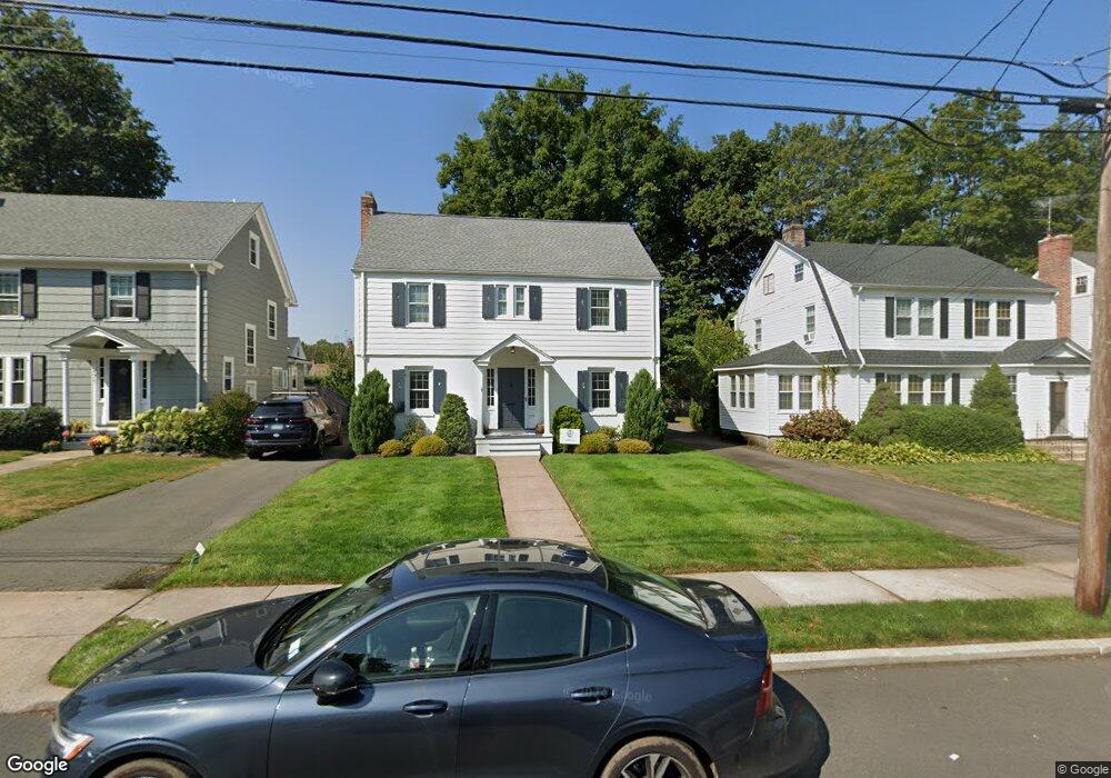
175 Griswold Dr West Hartford, CT 06119
Estimated Value: $578,000 - $729,467
4
Beds
3
Baths
2,328
Sq Ft
$277/Sq Ft
Est. Value
About This Home
This home is located at 175 Griswold Dr, West Hartford, CT 06119 and is currently estimated at $644,867, approximately $277 per square foot. 175 Griswold Dr is a home located in Hartford County with nearby schools including Morley School, King Philip Middle School, and Hall High School.
Ownership History
Date
Name
Owned For
Owner Type
Purchase Details
Closed on
Jan 15, 2002
Sold by
Gerity Patrick M and Gerity Patricia A
Bought by
Nordquist Eric and Nordquist Amy N
Current Estimated Value
Home Financials for this Owner
Home Financials are based on the most recent Mortgage that was taken out on this home.
Original Mortgage
$213,750
Interest Rate
7.04%
Purchase Details
Closed on
Aug 27, 1998
Sold by
Mansolillo A Scott and Mansolillo Marie L
Bought by
Gerity Patrick M and Gerity Patricia A
Home Financials for this Owner
Home Financials are based on the most recent Mortgage that was taken out on this home.
Original Mortgage
$171,000
Interest Rate
6.9%
Mortgage Type
Unknown
Purchase Details
Closed on
Mar 1, 1995
Sold by
Aclinolfi Frank J and Stasiowski Carole A
Bought by
Womack Lavonne
Create a Home Valuation Report for This Property
The Home Valuation Report is an in-depth analysis detailing your home's value as well as a comparison with similar homes in the area
Home Values in the Area
Average Home Value in this Area
Purchase History
| Date | Buyer | Sale Price | Title Company |
|---|---|---|---|
| Nordquist Eric | $225,000 | -- | |
| Gerity Patrick M | $180,000 | -- | |
| Womack Lavonne | $68,000 | -- |
Source: Public Records
Mortgage History
| Date | Status | Borrower | Loan Amount |
|---|---|---|---|
| Open | Womack Lavonne | $214,000 | |
| Closed | Womack Lavonne | $213,750 | |
| Previous Owner | Womack Lavonne | $172,000 | |
| Previous Owner | Womack Lavonne | $171,000 |
Source: Public Records
Tax History Compared to Growth
Tax History
| Year | Tax Paid | Tax Assessment Tax Assessment Total Assessment is a certain percentage of the fair market value that is determined by local assessors to be the total taxable value of land and additions on the property. | Land | Improvement |
|---|---|---|---|---|
| 2025 | $14,009 | $312,830 | $101,990 | $210,840 |
| 2024 | $13,248 | $312,830 | $101,990 | $210,840 |
| 2023 | $12,801 | $312,830 | $101,990 | $210,840 |
| 2022 | $12,726 | $312,830 | $101,990 | $210,840 |
| 2021 | $12,278 | $289,450 | $106,260 | $183,190 |
| 2020 | $11,657 | $278,880 | $99,330 | $179,550 |
| 2019 | $11,657 | $278,880 | $99,330 | $179,550 |
| 2018 | $11,434 | $278,880 | $99,330 | $179,550 |
| 2017 | $11,445 | $278,880 | $99,330 | $179,550 |
| 2016 | $9,401 | $237,930 | $87,500 | $150,430 |
| 2015 | $9,115 | $237,930 | $87,500 | $150,430 |
| 2014 | $8,891 | $237,930 | $87,500 | $150,430 |
Source: Public Records
Map
Nearby Homes
- 209 Ballard Dr
- 1268 Trout Brook Dr
- 1272 Trout Brook Dr
- 129 Middlebrook Rd
- 302 Quaker Ln N
- 141 Steele Rd
- 129 Steele Rd
- 120 Ardmore Rd
- 51 Bretton Rd
- 3 Trumbull Ln
- 11 Lawler Rd
- 126 Robin Rd
- 119 Robin Rd
- 1110 Trout Brook Dr
- 11 Chelsea Ln
- 83 Haynes Rd
- 97 Robin Rd
- 12 Farnham Rd
- 10 Farnham Rd
- 101 N Main St
- 179 Griswold Dr
- 171 Griswold Dr
- 167 Griswold Dr
- 183 Griswold Dr
- 178 Ballard Dr
- 163 Griswold Dr
- 187 Griswold Dr
- 174 Ballard Dr
- 182 Ballard Dr
- 186 Ballard Dr
- 170 Ballard Dr
- 180 Griswold Dr
- 159 Griswold Dr
- 176 Griswold Dr
- 103 Middlebrook Rd
- 172 Griswold Dr
- 166 Ballard Dr
- 184 Griswold Dr
- 190 Ballard Dr
- 168 Griswold Dr