175 Highpoint Cir Black Hawk, CO 80422
Estimated Value: $862,000 - $985,000
3
Beds
3
Baths
3,517
Sq Ft
$263/Sq Ft
Est. Value
About This Home
This home is located at 175 Highpoint Cir, Black Hawk, CO 80422 and is currently estimated at $926,295, approximately $263 per square foot. 175 Highpoint Cir is a home located in Gilpin County with nearby schools including Gilpin County Elementary School and Gilpin County Undivided High School.
Ownership History
Date
Name
Owned For
Owner Type
Purchase Details
Closed on
Oct 29, 2021
Sold by
Khaibullina Diliya and Khaibullina Liliya
Bought by
Alpine Glacier Enterprises Llc
Current Estimated Value
Purchase Details
Closed on
Mar 19, 2018
Sold by
Hill Kenneth and Hill Melissa
Bought by
Liliya Khaibullina Diliya and Liliya Khaibullina
Home Financials for this Owner
Home Financials are based on the most recent Mortgage that was taken out on this home.
Original Mortgage
$516,000
Interest Rate
4.32%
Mortgage Type
New Conventional
Purchase Details
Closed on
Mar 18, 2016
Sold by
Hill Kenneth and Hill Melissa
Bought by
Hill Kenneth and Hill Melissa
Home Financials for this Owner
Home Financials are based on the most recent Mortgage that was taken out on this home.
Original Mortgage
$118,440
Interest Rate
3.65%
Mortgage Type
Credit Line Revolving
Create a Home Valuation Report for This Property
The Home Valuation Report is an in-depth analysis detailing your home's value as well as a comparison with similar homes in the area
Home Values in the Area
Average Home Value in this Area
Purchase History
| Date | Buyer | Sale Price | Title Company |
|---|---|---|---|
| Alpine Glacier Enterprises Llc | $890,000 | Avalanche T&E Inc | |
| Liliya Khaibullina Diliya | $645,000 | Land Title Guarantee Co | |
| Hill Kenneth | -- | Land Title Guarantee Company | |
| Hill Kenneth | $595,000 | Land Title Guarantee Company |
Source: Public Records
Mortgage History
| Date | Status | Borrower | Loan Amount |
|---|---|---|---|
| Previous Owner | Liliya Khaibullina Diliya | $516,000 | |
| Previous Owner | Hill Kenneth | $118,440 | |
| Previous Owner | Hill Kenneth | $417,000 |
Source: Public Records
Tax History Compared to Growth
Tax History
| Year | Tax Paid | Tax Assessment Tax Assessment Total Assessment is a certain percentage of the fair market value that is determined by local assessors to be the total taxable value of land and additions on the property. | Land | Improvement |
|---|---|---|---|---|
| 2024 | $1,422 | $50,640 | $4,250 | $46,390 |
| 2023 | $1,422 | $50,640 | $4,250 | $46,390 |
| 2022 | $1,160 | $37,580 | $2,920 | $34,660 |
| 2021 | $1,157 | $38,650 | $3,000 | $35,650 |
| 2020 | $1,010 | $35,300 | $3,430 | $31,870 |
| 2019 | $863 | $35,300 | $3,430 | $31,870 |
| 2018 | $782 | $30,290 | $2,590 | $27,700 |
| 2017 | $783 | $30,290 | $2,590 | $27,700 |
| 2016 | $673 | $25,990 | $4,140 | $21,850 |
| 2015 | -- | $25,990 | $4,140 | $21,850 |
| 2014 | -- | $23,100 | $4,460 | $18,640 |
Source: Public Records
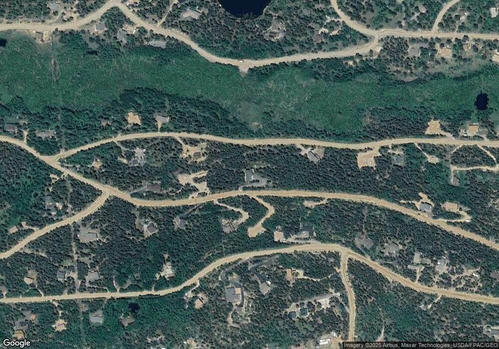
Map
Nearby Homes
- 893 S Dory Lakes Dr
- 83 Peak View Dr
- 0 Highpoint Cir
- 602 N Dory Lakes Dr
- 001 Peak View Dr Unit R011880
- 1280 Highpoint Cir
- 0 Aspen Cir
- 798 S Dory Lakes Dr
- 557 Highpoint Cir
- 263 Dory Lakes Dr
- 0 Golden Gate Canyon Rd
- 356 W Dory Way
- 0 Caesar Rd
- 265 Caesar Rd
- 233 Deer Cir
- 220 Timber Rd
- 116 Timber Rd
- 2169 Dory Hill Rd
- 760 Coyote Cir
- 300 Badger Rd
- 500 S Dory Lakes Dr
- 415 Highpoint Cir
- 461 S Dory Lakes Dr
- 0 Tbd Highpoint Cir
- 013 S Dory Lakes Dr
- 1226 Highpoint
- 360 S Dory Lakes Dr
- 504 S Dory Lakes Dr
- 140 Highpoint Cir
- 982 Highpoint Cir
- 486 S Dory Lakes Dr
- 014 S Dory Lakes Dr
- 0 High Point Cir Unit 5415787
- 0 High Point Cir Unit 5137078
- 0 High Point Cir Unit 928430
- 956 Highpoint Cir
- 83 Highpoint Cir
- 107 Highpoint Cir Unit 26
- 107 Highpoint Cir
- 1111 S Dory Lakes Dr