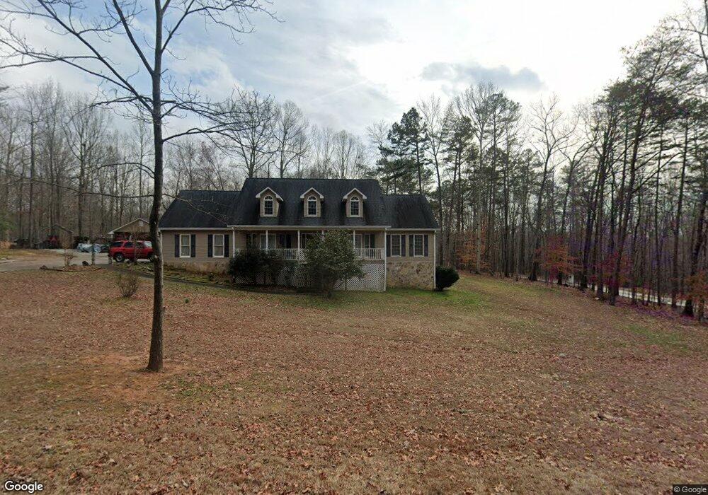
175 Joseph Ln Dawsonville, GA 30534
Dawson County NeighborhoodEstimated Value: $438,000 - $514,000
3
Beds
4
Baths
3,228
Sq Ft
$148/Sq Ft
Est. Value
About This Home
This home is located at 175 Joseph Ln, Dawsonville, GA 30534 and is currently estimated at $477,885, approximately $148 per square foot. 175 Joseph Ln is a home located in Dawson County with nearby schools including Robinson Elementary School, Dawson County Junior High School, and Dawson County Middle School.
Ownership History
Date
Name
Owned For
Owner Type
Purchase Details
Closed on
Sep 5, 1995
Sold by
Bryson Jimmy
Bought by
Towns Larry E and Towns Lind
Current Estimated Value
Purchase Details
Closed on
Jan 12, 1995
Sold by
Evans Everett and Evans Larr
Bought by
Bryson Jimmy
Purchase Details
Closed on
Jun 16, 1988
Sold by
Bryson Jimmy
Bought by
Evans Everett and Evans Larr
Purchase Details
Closed on
Mar 22, 1988
Bought by
Bryson Jimmy
Create a Home Valuation Report for This Property
The Home Valuation Report is an in-depth analysis detailing your home's value as well as a comparison with similar homes in the area
Home Values in the Area
Average Home Value in this Area
Purchase History
| Date | Buyer | Sale Price | Title Company |
|---|---|---|---|
| Towns Larry E | $18,000 | -- | |
| Bryson Jimmy | $14,000 | -- | |
| Evans Everett | $11,300 | -- | |
| Bryson Jimmy | -- | -- |
Source: Public Records
Tax History Compared to Growth
Tax History
| Year | Tax Paid | Tax Assessment Tax Assessment Total Assessment is a certain percentage of the fair market value that is determined by local assessors to be the total taxable value of land and additions on the property. | Land | Improvement |
|---|---|---|---|---|
| 2024 | $2,639 | $164,416 | $16,840 | $147,576 |
| 2023 | $2,641 | $170,616 | $16,840 | $153,776 |
| 2022 | $2,829 | $134,064 | $16,840 | $117,224 |
| 2021 | $2,549 | $114,664 | $16,840 | $97,824 |
| 2020 | $2,595 | $111,664 | $16,840 | $94,824 |
| 2019 | $2,683 | $114,424 | $16,840 | $97,584 |
| 2018 | $2,758 | $117,304 | $19,720 | $97,584 |
| 2017 | $2,317 | $98,878 | $14,112 | $84,766 |
| 2016 | $2,317 | $98,878 | $14,112 | $84,766 |
| 2015 | $2,031 | $99,151 | $14,112 | $85,039 |
| 2014 | $2,023 | $81,394 | $11,995 | $69,398 |
| 2013 | -- | $67,527 | $9,878 | $57,648 |
Source: Public Records
Map
Nearby Homes
- 8 Swanson St
- 42 Vickie Dr E
- 555 Perimeter Rd
- 282 Red Hawk Dr
- 198 Red Hawk Dr
- 87 Thorndale Ln
- 66 Red Hawk Dr
- 356 Orange Cir
- 57 Fausett Ln
- 53 Fausett Ln
- 19 Fausett Ln
- 378 Shoal Creek Rd
- 56 Allen St
- 0 Afton #3 Rd
- 0 Dawsonville Unit 10577726
- 0 Highway 53 Unit 10545668
- 0 Highway 53 Unit 10402225
- 0 Highway 53 Unit 7477129
- 237 Highway 136 W
- 167 Joseph Ln
- 231 Joseph Ln
- 168 Joseph Ln
- 210 Joseph Ln
- 251 Joseph Ln
- 136 Goswick Dr
- 124 Joseph Ln
- 261 Joseph Ln
- 228 Joseph Ln
- 258 Joseph Ln
- 0 Joseph Ln Unit 7434290
- 0 Joseph Ln
- 90 Way Back Rd
- 123 Goswick Dr
- 68 Goswick Dr
- 96 Joseph Ln
- 88 Way Back Rd
- 0 Way Back Rd Unit 7254609
- 0 Way Back Rd Unit 8588245
- 0 Way Back Rd Unit 8588693