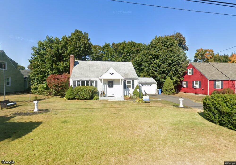
175 Louisiana Ave Bristol, CT 06010
Forestville NeighborhoodEstimated Value: $312,000 - $343,000
3
Beds
1
Bath
1,297
Sq Ft
$250/Sq Ft
Est. Value
About This Home
This home is located at 175 Louisiana Ave, Bristol, CT 06010 and is currently estimated at $324,393, approximately $250 per square foot. 175 Louisiana Ave is a home located in Hartford County with nearby schools including Stafford School, Chippens Hill Middle School, and Bristol Eastern High School.
Ownership History
Date
Name
Owned For
Owner Type
Purchase Details
Closed on
Aug 15, 2011
Sold by
Pencikowski Florence B
Bought by
Marmol Maria I and Wehbe Jorge J
Current Estimated Value
Home Financials for this Owner
Home Financials are based on the most recent Mortgage that was taken out on this home.
Original Mortgage
$125,492
Outstanding Balance
$86,646
Interest Rate
4.51%
Mortgage Type
Purchase Money Mortgage
Estimated Equity
$237,747
Create a Home Valuation Report for This Property
The Home Valuation Report is an in-depth analysis detailing your home's value as well as a comparison with similar homes in the area
Home Values in the Area
Average Home Value in this Area
Purchase History
| Date | Buyer | Sale Price | Title Company |
|---|---|---|---|
| Marmol Maria I | $29,000 | -- | |
| Marmol Maria I | $147,000 | -- |
Source: Public Records
Mortgage History
| Date | Status | Borrower | Loan Amount |
|---|---|---|---|
| Open | Marmol Maria I | $125,492 |
Source: Public Records
Tax History Compared to Growth
Tax History
| Year | Tax Paid | Tax Assessment Tax Assessment Total Assessment is a certain percentage of the fair market value that is determined by local assessors to be the total taxable value of land and additions on the property. | Land | Improvement |
|---|---|---|---|---|
| 2025 | $5,427 | $160,790 | $39,270 | $121,520 |
| 2024 | $5,121 | $160,790 | $39,270 | $121,520 |
| 2023 | $4,880 | $160,790 | $39,270 | $121,520 |
| 2022 | $4,408 | $114,940 | $31,850 | $83,090 |
| 2021 | $4,408 | $114,940 | $31,850 | $83,090 |
| 2020 | $4,408 | $114,940 | $31,850 | $83,090 |
| 2019 | $4,373 | $114,940 | $31,850 | $83,090 |
| 2018 | $4,239 | $114,940 | $31,850 | $83,090 |
| 2017 | $4,169 | $115,710 | $39,620 | $76,090 |
| 2016 | $4,169 | $115,710 | $39,620 | $76,090 |
| 2015 | $4,005 | $115,710 | $39,620 | $76,090 |
| 2014 | $4,005 | $115,710 | $39,620 | $76,090 |
Source: Public Records
Map
Nearby Homes
- 56 Collier Ave
- 27 Adeline Ave
- 50 Vantana Dr
- 81 Vincent Rd
- 52 Barbara Rd
- 54 Vance Rd
- 58 Matilda Dr
- 42 Sandy Dr
- 51 Jerome Ave
- 302 Brook St
- 12 Currey Ct
- 115 Garfield Rd
- 42 Holley Rd
- 3 Topview Terrace
- 437 Stafford Ave
- 16 Knox Place
- 334 W Washington St
- 1 Hickory St
- 269 W Washington St
- 43 Hiltbrand Rd Unit 2-11
- 183 Louisiana Ave
- 69 Morris Ave
- 193 Louisiana Ave
- 155 Louisiana Ave
- 76 Fanway Ave
- 158 Louisiana Ave
- 64 Morris Ave
- 149 Louisiana Ave
- 64 Fanway Ave
- 56 Morris Ave
- 152 Louisiana Ave
- 207 Louisiana Ave
- 53 Morris Ave
- 75 Fanway Ave
- 213 Louisiana Ave
- 56 Fanway Ave
- 147 Louisiana Ave
- 52 Morris Ave
- 217 Louisiana Ave
- 146 Louisiana Ave