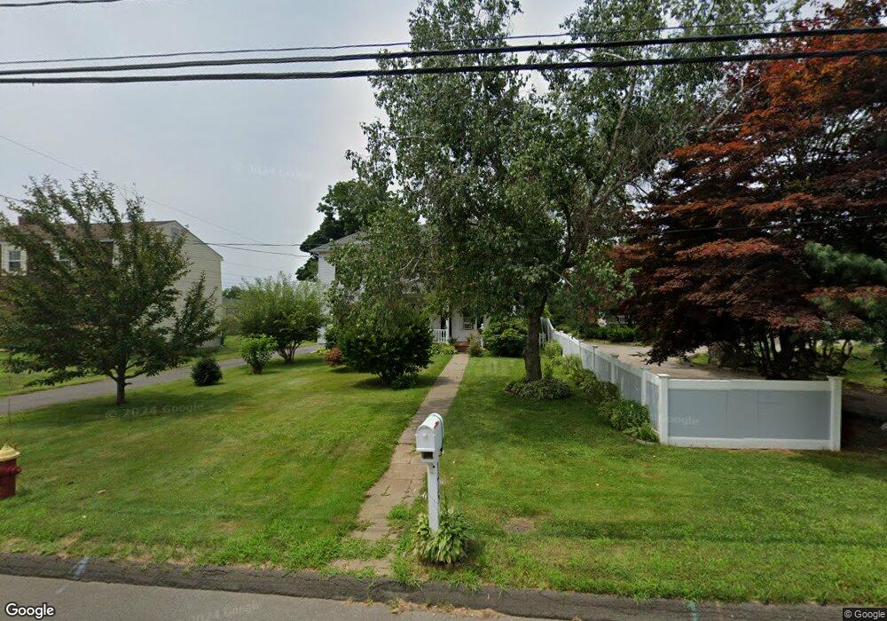
175 Maple Hill Ave Newington, CT 06111
Estimated Value: $355,443 - $442,000
4
Beds
2
Baths
2,143
Sq Ft
$195/Sq Ft
Est. Value
About This Home
This home is located at 175 Maple Hill Ave, Newington, CT 06111 and is currently estimated at $418,361, approximately $195 per square foot. 175 Maple Hill Ave is a home located in Hartford County with nearby schools including Anna Reynolds School, Martin Kellogg Middle School, and Newington High School.
Ownership History
Date
Name
Owned For
Owner Type
Purchase Details
Closed on
Jan 14, 2020
Sold by
Ferris Robert A and Ferris Mary E
Bought by
Ferris Irt
Current Estimated Value
Purchase Details
Closed on
Sep 13, 2002
Sold by
Int Conceta Manuele and Marturano Vincent
Bought by
Ferris Robert A and Ferris Mary E
Home Financials for this Owner
Home Financials are based on the most recent Mortgage that was taken out on this home.
Original Mortgage
$125,000
Interest Rate
5.06%
Create a Home Valuation Report for This Property
The Home Valuation Report is an in-depth analysis detailing your home's value as well as a comparison with similar homes in the area
Home Values in the Area
Average Home Value in this Area
Purchase History
| Date | Buyer | Sale Price | Title Company |
|---|---|---|---|
| Ferris Irt | -- | None Available | |
| Ferris Robert A | $215,000 | -- |
Source: Public Records
Mortgage History
| Date | Status | Borrower | Loan Amount |
|---|---|---|---|
| Previous Owner | Ferris Robert A | $159,000 | |
| Previous Owner | Ferris Robert A | $163,500 | |
| Previous Owner | Ferris Robert A | $125,000 |
Source: Public Records
Tax History
| Year | Tax Paid | Tax Assessment Tax Assessment Total Assessment is a certain percentage of the fair market value that is determined by local assessors to be the total taxable value of land and additions on the property. | Land | Improvement |
|---|---|---|---|---|
| 2025 | $6,205 | $155,200 | $56,780 | $98,420 |
| 2024 | $6,157 | $155,200 | $56,780 | $98,420 |
| 2023 | $5,953 | $155,200 | $56,780 | $98,420 |
| 2022 | $5,974 | $155,200 | $56,780 | $98,420 |
| 2021 | $6,023 | $155,200 | $56,780 | $98,420 |
| 2020 | $6,265 | $159,490 | $54,600 | $104,890 |
| 2019 | $6,292 | $159,490 | $54,600 | $104,890 |
| 2018 | $6,140 | $159,490 | $54,600 | $104,890 |
| 2017 | $5,836 | $159,490 | $54,600 | $104,890 |
| 2016 | $5,702 | $159,490 | $54,600 | $104,890 |
| 2014 | $6,109 | $175,700 | $54,300 | $121,400 |
Source: Public Records
Map
Nearby Homes
- 24 Old Musket Dr
- 1 Old Farm Dr
- 7 Old Farm Dr
- 9 Old Farm Dr
- 446 Maple Hill Ave
- 15 Lester St
- 1235 East St Unit B
- 20 Browning Ave
- 175 Amherst St
- 227 Amherst St
- 46 Florence St
- 55 Coles Ave
- 77 Thorniley St
- 495 New Britain Ave
- 129 Glenview Dr
- 325 Barbour Rd
- 42 Sunset Rd
- 235 Lucille St
- 192 Market St
- 116 Sunrise Ave
- 173 Maple Hill Ave
- 187 Maple Hill Ave
- 193 Maple Hill Ave
- 169 Maple Hill Ave
- 165 Maple Hill Ave
- 201 Maple Hill Ave
- 174 Maple Hill Ave
- 30 Ponderosa Ln
- 186 Maple Hill Ave
- 192 Maple Hill Ave
- 166 Maple Hill Ave
- 24 Ponderosa Ln
- 16 Ponderosa Ln
- 36 Ponderosa Ln
- 149 Maple Hill Ave
- 151 Maple Hill Ave
- 11 Spruce St
- 16 Evergreen Rd
- 202 Maple Hill Ave
- 211 Maple Hill Ave
Your Personal Tour Guide
Ask me questions while you tour the home.