Estimated Value: $85,000 - $135,000
Studio
--
Bath
5,479
Sq Ft
$20/Sq Ft
Est. Value
About This Home
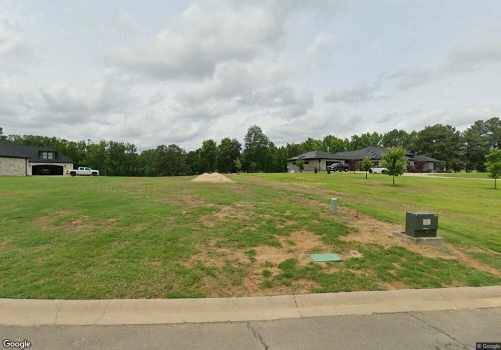
This home is located at 175 Maplewood Dr, Cabot, AR 72023 and is currently estimated at $110,000, approximately $20 per square foot. 175 Maplewood Dr is a home with nearby schools including Central Elementary School, Cabot Junior High South, and Cabot Middle School South.
Ownership History
Date
Name
Owned For
Owner Type
Purchase Details
Closed on
Nov 15, 2021
Sold by
Green Gables Limited Partnership
Bought by
Peterson Blake L and Peterson Lindsey D
Current Estimated Value
Home Financials for this Owner
Home Financials are based on the most recent Mortgage that was taken out on this home.
Original Mortgage
$70,000
Outstanding Balance
$16,066
Interest Rate
2.99%
Mortgage Type
Future Advance Clause Open End Mortgage
Estimated Equity
$93,934
Create a Home Valuation Report for This Property
The Home Valuation Report is an in-depth analysis detailing your home's value as well as a comparison with similar homes in the area
Purchase History
| Date | Buyer | Sale Price | Title Company |
|---|---|---|---|
| Peterson Blake L | $90,000 | United Abstract & Title Co | |
| Peterson Blake L | -- | United Abstract & Title |
Source: Public Records
Mortgage History
| Date | Status | Borrower | Loan Amount |
|---|---|---|---|
| Open | Peterson Blake L | $70,000 | |
| Closed | Peterson Blake L | $70,000 |
Source: Public Records
Tax History Compared to Growth
Tax History
| Year | Tax Paid | Tax Assessment Tax Assessment Total Assessment is a certain percentage of the fair market value that is determined by local assessors to be the total taxable value of land and additions on the property. | Land | Improvement |
|---|---|---|---|---|
| 2025 | $321 | $7,000 | $7,000 | -- |
| 2024 | $321 | $7,000 | $7,000 | -- |
| 2023 | $321 | $145,900 | $14,000 | $131,900 |
| 2022 | $321 | $7,000 | $7,000 | $0 |
| 2021 | $321 | $7,000 | $7,000 | $0 |
| 2020 | $321 | $7,000 | $7,000 | $0 |
| 2019 | $321 | $7,000 | $7,000 | $0 |
| 2018 | $321 | $7,000 | $7,000 | $0 |
| 2017 | $297 | $7,000 | $7,000 | $0 |
| 2016 | $321 | $7,000 | $7,000 | $0 |
| 2015 | $321 | $100 | $100 | $0 |
Source: Public Records
Map
Nearby Homes
- 83 Earnhardt Cir
- 35 Warren St
- Lots 44 &45 Broadmoor Cir
- 15 Darlington Dr
- 12 Daytona
- 19 Talladega Dr
- 24 Talladega Loop
- 11 Warren St
- 1309 S Pine St
- 42 Pine Terrace Dr
- 4 Beechwood St
- 00 Plaza Blvd
- 26 W Plaza Blvd
- 22 Oakwood Dr
- 507 Southhaven Ave
- 00000 Campground Rd
- Lot 107 Southhaven
- 15 Judith Ct
- 40 Bent Tree Dr
- 34 Bent Tree Dr
- 153 Maplewood Dr
- 185 Maplewood Dr
- 225 Maplewood Dr
- 180 Maplewood Dr
- 85 Earnhardt Cir
- 79 Earnhardt Cir
- 87 Earnhardt Cir
- 77 Earnhardt Cir
- 89 Earnhardt Cir
- 75 Earnhardt Cir
- 84 Earnhardt Cir
- 80 Earnhardt Cir
- 31 Broadmoor Cir
- 88 Earnhardt Cir
- 91 Earnhardt Cir
- 78 Earnhardt Cir
- 74 Earnhardt Cir
- 76 Earnhardt Cir
- 90 Earnhardt Cir
- 73 Earnhardt Cir