175 McCurdy Point Rd Port Townsend, WA 98368
Estimated Value: $875,000 - $1,895,000
3
Beds
4
Baths
3,518
Sq Ft
$386/Sq Ft
Est. Value
About This Home
This home is located at 175 McCurdy Point Rd, Port Townsend, WA 98368 and is currently estimated at $1,359,251, approximately $386 per square foot. 175 McCurdy Point Rd is a home located in Jefferson County with nearby schools including Salish Coast Elementary School, Blue Heron Middle School, and Port Townsend High School.
Ownership History
Date
Name
Owned For
Owner Type
Purchase Details
Closed on
Aug 26, 2025
Sold by
Davis John Carlyle
Bought by
Claudia Davis Trust and Davis
Current Estimated Value
Purchase Details
Closed on
Jul 23, 2008
Sold by
Davis Claudia Jean
Bought by
Davis Claudia and Claudia Davis Trust
Purchase Details
Closed on
May 17, 2005
Sold by
Polvino Kathleen J and Polvino Francis J
Bought by
Davis Ii John C and Davis Claudia Jean
Home Financials for this Owner
Home Financials are based on the most recent Mortgage that was taken out on this home.
Original Mortgage
$350,000
Interest Rate
5.12%
Mortgage Type
Adjustable Rate Mortgage/ARM
Create a Home Valuation Report for This Property
The Home Valuation Report is an in-depth analysis detailing your home's value as well as a comparison with similar homes in the area
Home Values in the Area
Average Home Value in this Area
Purchase History
| Date | Buyer | Sale Price | Title Company |
|---|---|---|---|
| Claudia Davis Trust | -- | None Listed On Document | |
| Davis Claudia | -- | None Available | |
| Davis Ii John C | $790,875 | Jefferson Title Co |
Source: Public Records
Mortgage History
| Date | Status | Borrower | Loan Amount |
|---|---|---|---|
| Previous Owner | Davis Ii John C | $350,000 |
Source: Public Records
Tax History Compared to Growth
Tax History
| Year | Tax Paid | Tax Assessment Tax Assessment Total Assessment is a certain percentage of the fair market value that is determined by local assessors to be the total taxable value of land and additions on the property. | Land | Improvement |
|---|---|---|---|---|
| 2024 | $9,371 | $1,203,709 | $412,808 | $790,901 |
| 2023 | $9,371 | $1,071,456 | $388,794 | $682,662 |
| 2022 | $7,763 | $985,882 | $365,280 | $620,602 |
| 2021 | $7,534 | $808,029 | $337,876 | $470,153 |
| 2020 | $7,512 | $736,430 | $307,160 | $429,270 |
| 2019 | $7,042 | $715,989 | $307,160 | $408,829 |
| 2018 | $6,619 | $715,989 | $307,160 | $408,829 |
| 2017 | $6,228 | $591,210 | $303,324 | $287,886 |
| 2016 | $5,644 | $591,210 | $303,324 | $287,886 |
| 2015 | $5,662 | $563,057 | $288,880 | $274,177 |
| 2014 | -- | $563,057 | $288,880 | $274,177 |
| 2013 | -- | $563,055 | $288,880 | $274,175 |
Source: Public Records
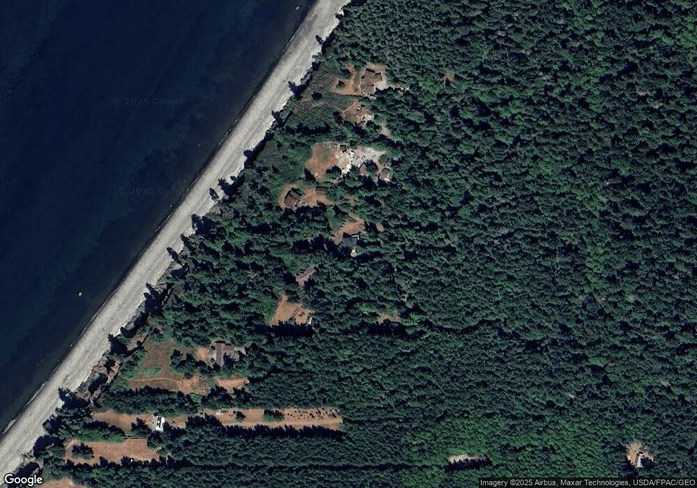
Map
Nearby Homes
- 333 Haada Laas Rd
- 2421 Hastings Ave W
- 4490 Albatross St
- 4689 Petrel St
- 794 Hidden Trail Rd
- 4511 Trail Crest Dr
- 4637 Trail Crest Dr
- 2872 Claremont St
- 1042 Crest Ave
- Horizon Plan at Madrona Ridge
- 1643 Lorraine Way
- 1612 Lorraine Way
- Coral Plan at Madrona Ridge
- Lighthouse Plan at Madrona Ridge
- Harbor Plan at Madrona Ridge
- 1637 Lorraine Way
- 1618 Lorraine Way
- 2530 Wonderland Way
- Driftwood Plan at Madrona Ridge
- 2600 Wonderland Way
- 153 McCurdy Point Rd
- 187 McCurdy Point Rd
- 137 McCurdy Point Rd
- 245 McCurdy Point Rd
- 125 McCurdy Point Rd
- 253 McCurdy Point Rd
- 305 McCurdy Point Rd
- 723 Middlepoint Rd
- 671 Middlepoint Rd
- 580 Middlepoint Rd
- 553 Middlepoint Rd
- 0 Haada Laas Rd
- 0 XXX Haada Laas Rd
- 74 Haada Laas Rd
- 1 Haada Laas Rd
- 451 E Middlepoint Rd
- 640 E Middlepoint Rd
- 590 E Middlepoint Rd
- 605 Middlepoint Rd
- 172 Haada Laas Rd