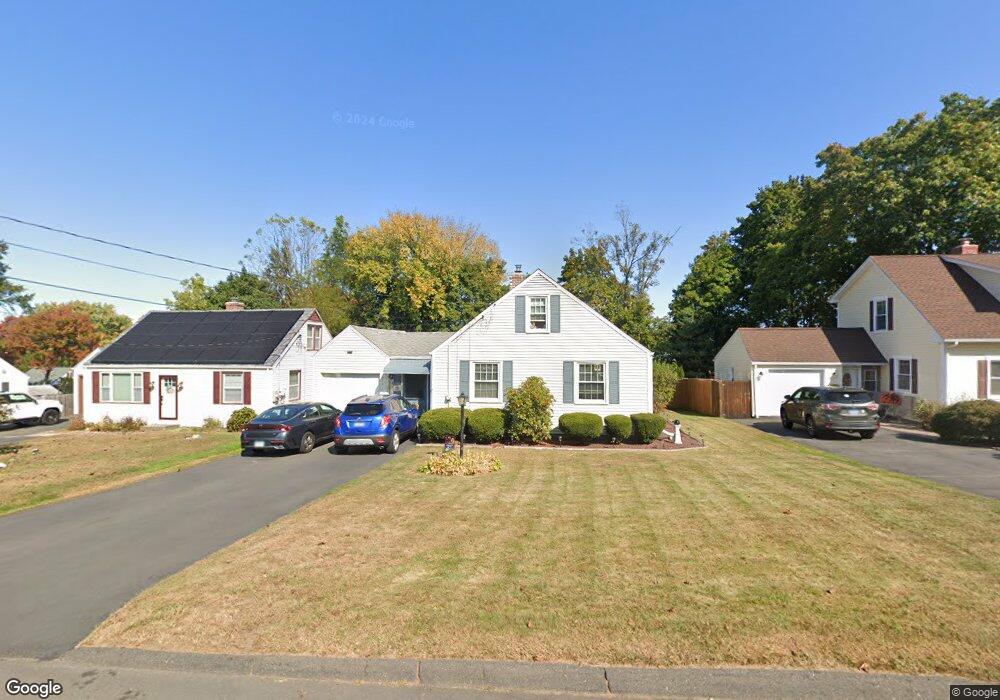
175 Morningside Dr E Bristol, CT 06010
Forestville NeighborhoodEstimated Value: $240,000 - $341,000
3
Beds
2
Baths
1,168
Sq Ft
$264/Sq Ft
Est. Value
About This Home
This home is located at 175 Morningside Dr E, Bristol, CT 06010 and is currently estimated at $308,292, approximately $263 per square foot. 175 Morningside Dr E is a home located in Hartford County with nearby schools including Northeast Middle School, Bristol Eastern High School, and St Matthew School.
Ownership History
Date
Name
Owned For
Owner Type
Purchase Details
Closed on
Jun 1, 2017
Sold by
Towle Frederick P and Jandreau Patricia
Bought by
Chapman David R and Chapman David R
Current Estimated Value
Home Financials for this Owner
Home Financials are based on the most recent Mortgage that was taken out on this home.
Original Mortgage
$121,754
Outstanding Balance
$100,947
Interest Rate
3.99%
Mortgage Type
FHA
Estimated Equity
$207,345
Create a Home Valuation Report for This Property
The Home Valuation Report is an in-depth analysis detailing your home's value as well as a comparison with similar homes in the area
Home Values in the Area
Average Home Value in this Area
Purchase History
| Date | Buyer | Sale Price | Title Company |
|---|---|---|---|
| Chapman David R | $124,000 | -- | |
| Chapman David R | $124,000 | -- |
Source: Public Records
Mortgage History
| Date | Status | Borrower | Loan Amount |
|---|---|---|---|
| Open | Chapman David R | $121,754 | |
| Closed | Chapman David R | $121,754 |
Source: Public Records
Tax History
| Year | Tax Paid | Tax Assessment Tax Assessment Total Assessment is a certain percentage of the fair market value that is determined by local assessors to be the total taxable value of land and additions on the property. | Land | Improvement |
|---|---|---|---|---|
| 2025 | $5,169 | $153,160 | $45,080 | $108,080 |
| 2024 | $4,845 | $152,110 | $45,080 | $107,030 |
| 2023 | $4,617 | $152,110 | $45,080 | $107,030 |
| 2022 | $4,191 | $109,270 | $36,610 | $72,660 |
| 2021 | $4,191 | $109,270 | $36,610 | $72,660 |
| 2020 | $4,191 | $109,270 | $36,610 | $72,660 |
| 2019 | $4,158 | $109,270 | $36,610 | $72,660 |
| 2018 | $4,030 | $109,270 | $36,610 | $72,660 |
| 2017 | $3,339 | $92,680 | $31,850 | $60,830 |
| 2016 | $3,339 | $92,680 | $31,850 | $60,830 |
| 2015 | $3,208 | $92,680 | $31,850 | $60,830 |
| 2014 | $3,208 | $92,680 | $31,850 | $60,830 |
Source: Public Records
Map
Nearby Homes
- 10 Pine Ct
- 20 Westchester Dr
- 66 Beths Ave Unit 15
- 81 Lancaster Rd
- 55 Beths Ave Unit 77
- 79 Beths Ave Unit 100
- 941 Farmington Ave
- 179 Mark St
- 102 Renee St
- 64 Fanway Ave
- 206 Burton St
- 3 Sandra St
- 92 Garfield Rd
- 30 Adeline Ave
- 1325 Farmington Ave Unit 52
- 225 Stonecrest Dr
- 160 Fair St
- 262 Westwoods Terrace
- 97 Jacqueline Dr
- 46 Vance Rd
- 169 Morningside Dr E
- 181 Morningside Dr E
- 163 Morningside Dr E
- 164 Morningside Dr E
- 176 Morningside Dr E
- 182 Morningside Dr E
- 157 Morningside Dr E
- 158 Morningside Dr E
- 187 Morningside Dr E
- 152 Morningside Dr E
- 188 Morningside Dr E
- 501 Stafford Ave
- 509 Stafford Ave
- 151 Morningside Dr E
- 193 Morningside Dr E
- 196 Morningside Dr E
- 197 Morningside Dr E
- 519 Stafford Ave
- 495 Stafford Ave
- 513 Stafford Ave
Your Personal Tour Guide
Ask me questions while you tour the home.