175 Mount Hunger Shore Rd Windham, ME 04062
Estimated Value: $559,000 - $799,364
3
Beds
2
Baths
972
Sq Ft
$723/Sq Ft
Est. Value
About This Home
This home is located at 175 Mount Hunger Shore Rd, Windham, ME 04062 and is currently estimated at $702,341, approximately $722 per square foot. 175 Mount Hunger Shore Rd is a home located in Cumberland County with nearby schools including Manchester School, Windham Primary School, and Windham Middle School.
Ownership History
Date
Name
Owned For
Owner Type
Purchase Details
Closed on
Apr 25, 2016
Sold by
Delponte Sylvia A
Bought by
Delponte Darryl J and Delponte Linda G
Current Estimated Value
Purchase Details
Closed on
Aug 17, 2009
Sold by
Delponte Sylvia A
Bought by
Delponte Darry J and Delponte Linda G
Create a Home Valuation Report for This Property
The Home Valuation Report is an in-depth analysis detailing your home's value as well as a comparison with similar homes in the area
Home Values in the Area
Average Home Value in this Area
Purchase History
| Date | Buyer | Sale Price | Title Company |
|---|---|---|---|
| Delponte Darryl J | -- | -- | |
| Delponte Darry J | -- | -- |
Source: Public Records
Tax History Compared to Growth
Tax History
| Year | Tax Paid | Tax Assessment Tax Assessment Total Assessment is a certain percentage of the fair market value that is determined by local assessors to be the total taxable value of land and additions on the property. | Land | Improvement |
|---|---|---|---|---|
| 2024 | $8,467 | $738,200 | $566,800 | $171,400 |
| 2023 | $7,731 | $690,300 | $527,300 | $163,000 |
| 2022 | $6,662 | $573,800 | $429,100 | $144,700 |
| 2021 | $5,804 | $460,600 | $334,500 | $126,100 |
| 2020 | $6,320 | $421,300 | $316,200 | $105,100 |
| 2019 | $6,168 | $421,300 | $316,200 | $105,100 |
| 2018 | $5,985 | $394,300 | $300,300 | $94,000 |
| 2017 | $5,585 | $339,900 | $262,100 | $77,800 |
| 2016 | $5,606 | $339,900 | $262,100 | $77,800 |
| 2015 | $5,149 | $339,900 | $262,100 | $77,800 |
| 2014 | $4,986 | $339,900 | $262,100 | $77,800 |
| 2013 | $4,912 | $339,900 | $262,100 | $77,800 |
Source: Public Records
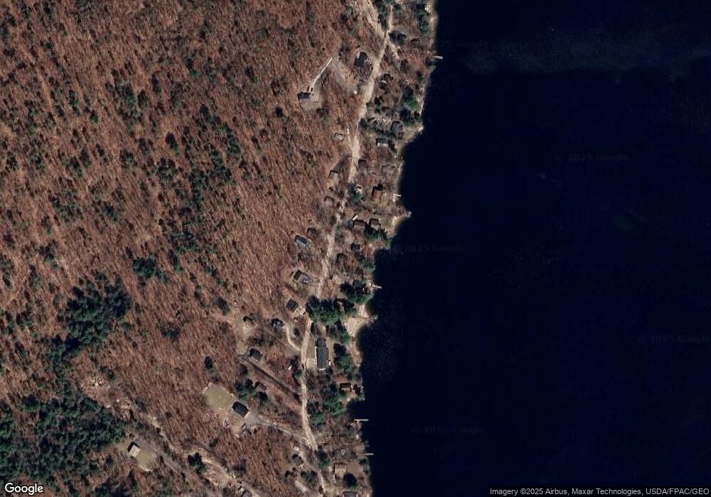
Map
Nearby Homes
- 15 Worcester Dr
- lot #8 Bedrock Terrace
- 99 Enterprise Dr
- 107 Harvest Hill Rd
- 20 Bittersweet Way
- 8 Lily Ln
- 1083 Roosevelt Trail
- 24 Hillside Dr
- 18 Hillside Dr
- 3 Pride Ln
- 1042 Roosevelt Trail
- 1 Pine Ln
- 36 Whites Bridge Rd Unit 8
- 56 Qualey Rd
- 35 Webbs Mills Rd
- 16 Peterson Rd
- 34 Trails End Rd
- 80 Sky Dr
- 14 Sabbady Point Rd
- 1 Matinicus Way Unit 1
- 171 Mount Hunger Shore Rd
- 179 Mount Hunger Shore Rd
- 169 Mount Hunger Shore Rd
- 183 Mount Hunger Shore Rd
- 172 Mount Hunger Shore Rd
- 180 Mount Hunger Shore Rd
- 352 Mount Hunger Shore Rd
- 165 Mount Hunger Shore Rd
- 166 Mount Hunger Shore Rd
- 182 Mount Hunger Shore Rd
- 185 Mount Hunger Shore Rd
- 161 Mount Hunger Shore Rd
- 162 Mount Hunger Shore Rd
- 191 Mount Hunger Shore Rd
- 176 Mount Hunger Shore Rd
- 352 Mt Hunger Shore Rd
- 190 Mount Hunger Shore Rd
- 158 Mount Hunger Shore Rd
- 337 Mount Hunger Shore Rd
- 157 Mount Hunger Shore Rd