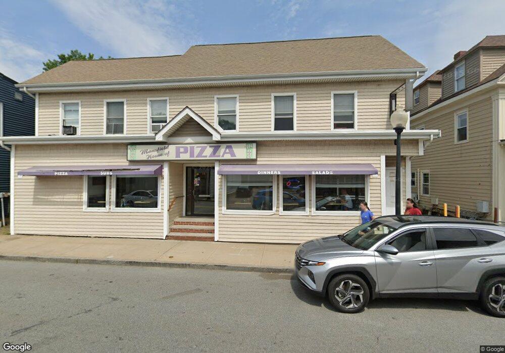
175 N Main St Unit 183 Mansfield, MA 02048
Estimated Value: $352,555
--
Bed
--
Bath
2,705
Sq Ft
$130/Sq Ft
Est. Value
About This Home
This home is located at 175 N Main St Unit 183, Mansfield, MA 02048 and is currently estimated at $352,555, approximately $130 per square foot. 175 N Main St Unit 183 is a home located in Bristol County with nearby schools including Everett W. Robinson Elementary School, Jordan/Jackson Elementary School, and Harold L. Qualters Middle School.
Ownership History
Date
Name
Owned For
Owner Type
Purchase Details
Closed on
Feb 24, 1994
Sold by
Concord Mill Corp
Bought by
Z & Z Rt
Current Estimated Value
Home Financials for this Owner
Home Financials are based on the most recent Mortgage that was taken out on this home.
Original Mortgage
$67,208
Interest Rate
6.96%
Mortgage Type
Commercial
Purchase Details
Closed on
Sep 8, 1993
Sold by
Bottomley Fred C
Bought by
Concord Hill Corp
Purchase Details
Closed on
Aug 27, 1987
Sold by
Wellis Allen L
Bought by
Bottomley Fred C
Create a Home Valuation Report for This Property
The Home Valuation Report is an in-depth analysis detailing your home's value as well as a comparison with similar homes in the area
Home Values in the Area
Average Home Value in this Area
Purchase History
| Date | Buyer | Sale Price | Title Company |
|---|---|---|---|
| Z & Z Rt | $84,000 | -- | |
| Zakhary | $84,000 | -- | |
| Concord Hill Corp | $145,000 | -- | |
| Concord Hill Corp | $145,000 | -- | |
| Bottomley Fred C | $189,900 | -- |
Source: Public Records
Mortgage History
| Date | Status | Borrower | Loan Amount |
|---|---|---|---|
| Closed | Bottomley Fred C | $30,000 | |
| Closed | Bottomley Fred C | $67,208 |
Source: Public Records
Tax History Compared to Growth
Tax History
| Year | Tax Paid | Tax Assessment Tax Assessment Total Assessment is a certain percentage of the fair market value that is determined by local assessors to be the total taxable value of land and additions on the property. | Land | Improvement |
|---|---|---|---|---|
| 2025 | -- | $465,400 | $145,100 | $320,300 |
| 2024 | -- | $465,400 | $145,100 | $320,300 |
| 2023 | $0 | $465,400 | $145,100 | $320,300 |
| 2022 | $0 | $450,400 | $145,100 | $305,300 |
| 2021 | $0 | $357,800 | $126,400 | $231,400 |
| 2020 | $4,416 | $357,800 | $126,400 | $231,400 |
| 2019 | $0 | $322,800 | $126,400 | $196,400 |
| 2018 | $5,966 | $322,800 | $126,400 | $196,400 |
| 2017 | -- | $322,800 | $126,400 | $196,400 |
| 2016 | -- | $290,800 | $126,400 | $164,400 |
| 2015 | -- | $273,400 | $109,000 | $164,400 |
Source: Public Records
Map
Nearby Homes
- 241-243 N Main St
- 28 Court St
- 28 Court St Unit 4
- 38 Court St
- 150 Rumford Ave Unit 222
- 76 Samoset Ave
- 22 Pleasant St Unit B
- 22 Pleasant St Unit A
- 72 Court St Unit B
- 16 East St Unit 2
- 99 Pleasant St
- 21 East St Unit 1D
- 14 Webb Place Unit 1B
- 82 Brook St
- 12 Wilson Place
- 28 Angell St
- 44 Angell St Unit 44
- 60 King St
- 619 N Main St
- 231 Spring St
- 192 N Main St
- 165 N Main St
- 181 N Main St Unit 3
- 185 N Main St Unit 195
- 189 N Main St Unit 189
- 172 N Main St Unit A
- 172 N Main St Unit 174
- 172 N Main St Unit 7
- 172 N Main St
- 172 N Main St Unit 8
- 172 N Main St Unit 9
- 172 N Main St Unit 2
- 172 N Main St Unit 1
- 172 N Main St Unit 10
- 174 N Main St Unit 1
- 1 Samoset Ave
- 1 Samoset Ave Unit Z
- 1 Samoset Ave Unit Y
- 1 Samoset Ave Unit X
- 1 Samoset Ave Unit W