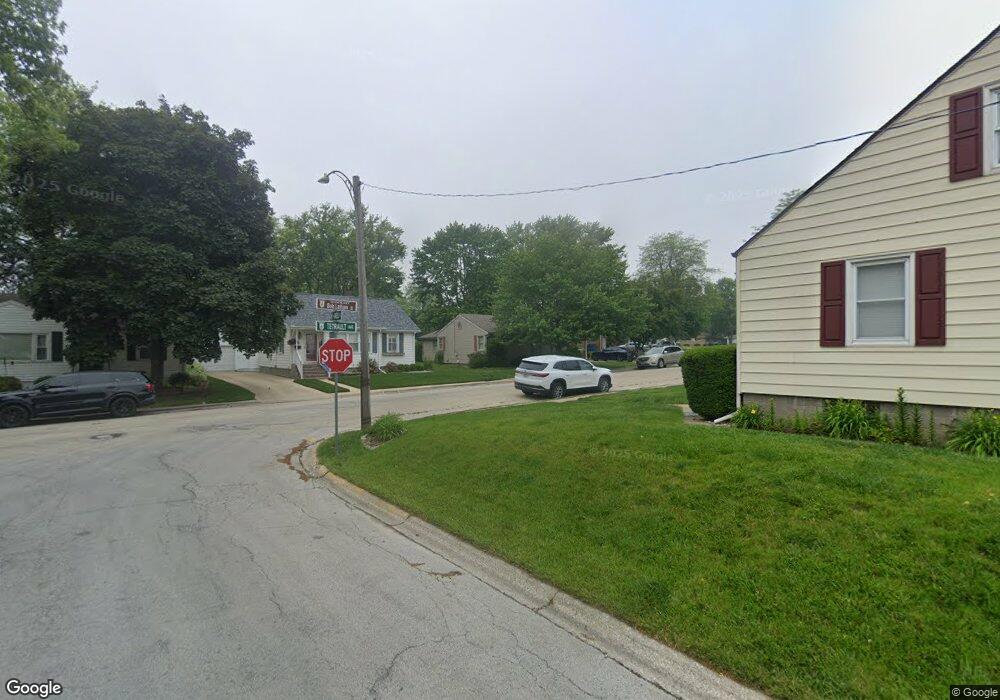
175 N Tetrault Ave Bourbonnais, IL 60914
Estimated Value: $200,829 - $234,000
--
Bed
--
Bath
--
Sq Ft
8,494
Sq Ft Lot
About This Home
This home is located at 175 N Tetrault Ave, Bourbonnais, IL 60914 and is currently estimated at $214,207. 175 N Tetrault Ave is a home located in Kankakee County with nearby schools including Alan B. Shepard Elementary School, Liberty Intermediate School, and Bourbonnais Upper Grade Center.
Ownership History
Date
Name
Owned For
Owner Type
Purchase Details
Closed on
Aug 12, 2021
Sold by
Jacob Christine Boudreau and Vause Deb Boudreau
Bought by
Jacob Ryan P and Jacob Michelle M
Current Estimated Value
Home Financials for this Owner
Home Financials are based on the most recent Mortgage that was taken out on this home.
Original Mortgage
$139,500
Outstanding Balance
$127,738
Interest Rate
3.38%
Mortgage Type
New Conventional
Estimated Equity
$86,469
Create a Home Valuation Report for This Property
The Home Valuation Report is an in-depth analysis detailing your home's value as well as a comparison with similar homes in the area
Home Values in the Area
Average Home Value in this Area
Purchase History
| Date | Buyer | Sale Price | Title Company |
|---|---|---|---|
| Jacob Ryan P | $155,000 | Homestar Title |
Source: Public Records
Mortgage History
| Date | Status | Borrower | Loan Amount |
|---|---|---|---|
| Open | Jacob Ryan P | $139,500 |
Source: Public Records
Tax History Compared to Growth
Tax History
| Year | Tax Paid | Tax Assessment Tax Assessment Total Assessment is a certain percentage of the fair market value that is determined by local assessors to be the total taxable value of land and additions on the property. | Land | Improvement |
|---|---|---|---|---|
| 2024 | $5,361 | $64,511 | $5,283 | $59,228 |
| 2023 | $4,933 | $59,733 | $4,892 | $54,841 |
| 2022 | $4,823 | $56,034 | $4,715 | $51,319 |
| 2021 | $4,662 | $53,817 | $4,611 | $49,206 |
| 2020 | $3,532 | $50,982 | $4,488 | $46,494 |
| 2019 | $3,060 | $45,262 | $4,357 | $40,905 |
| 2018 | $2,805 | $42,312 | $4,293 | $38,019 |
| 2017 | $2,634 | $40,200 | $4,188 | $36,012 |
| 2016 | $2,513 | $38,910 | $4,126 | $34,784 |
| 2015 | $2,218 | $36,885 | $4,085 | $32,800 |
| 2014 | $2,744 | $43,895 | $6,852 | $37,043 |
| 2013 | -- | $44,444 | $6,852 | $37,592 |
Source: Public Records
Map
Nearby Homes
- 271 Toni St
- 830 W River St
- 213 Bernard St
- 482 S Rivard St
- 850 Exeter Turn
- 813 Canterbury Ln
- 891 Exeter Turn Unit E1
- 404 E Grand Dr
- lot Briarcliff Ln
- Lot 5/5A Almar Pkwy
- 5 Inverness Dr
- 635 Independence Dr
- 2008 Indian Trail
- 370 Windermere Way
- 717 Independence Dr
- 183 N Cleveland Ave
- 184 S Forest Ave
- 1268 Deer Path
- 7 Bristol Green
- 1905 Indian Trail
- 131 N Tetrault Ave
- 227 Esther Cir
- 192 Stockton Heights Dr
- 111 N Tetrault Ave
- 164 Stockton Heights Dr
- 172 N Tetrault Ave
- 132 N Tetrault Ave
- 218 Esther Cir
- 103 Esther Cir
- 383 W Marsile St
- 236 Esther Cir
- 109 S Tetrault Ave
- 237 Esther Cir
- 116 Stockton Heights Dr
- 108 S Tetrault Ave
- 127 S Tetrault Ave
- 128 N Tetrault Ave
- 175 Stockton Heights Dr
- 145 N Tetrault Ave
- 125 Esther Cir