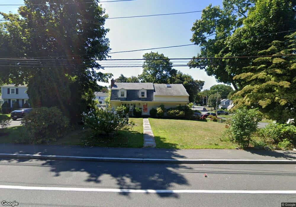
175 Norton St North Weymouth, MA 02191
North Weymouth NeighborhoodEstimated Value: $635,000 - $790,000
4
Beds
2
Baths
1,859
Sq Ft
$365/Sq Ft
Est. Value
About This Home
This home is located at 175 Norton St, North Weymouth, MA 02191 and is currently estimated at $678,444, approximately $364 per square foot. 175 Norton St is a home located in Norfolk County with nearby schools including Abigail Adams Middle School, Wessagusset Elementary School, and Weymouth Middle School Chapman.
Ownership History
Date
Name
Owned For
Owner Type
Purchase Details
Closed on
Mar 7, 2013
Sold by
Falco Kendall L and Falco Paulette H
Bought by
Falco Paulette H
Current Estimated Value
Create a Home Valuation Report for This Property
The Home Valuation Report is an in-depth analysis detailing your home's value as well as a comparison with similar homes in the area
Home Values in the Area
Average Home Value in this Area
Purchase History
| Date | Buyer | Sale Price | Title Company |
|---|---|---|---|
| Falco Paulette H | -- | -- |
Source: Public Records
Tax History Compared to Growth
Tax History
| Year | Tax Paid | Tax Assessment Tax Assessment Total Assessment is a certain percentage of the fair market value that is determined by local assessors to be the total taxable value of land and additions on the property. | Land | Improvement |
|---|---|---|---|---|
| 2025 | $5,136 | $508,500 | $202,900 | $305,600 |
| 2024 | $4,975 | $484,400 | $193,300 | $291,100 |
| 2023 | $4,698 | $449,600 | $179,000 | $270,600 |
| 2022 | $4,576 | $399,300 | $165,700 | $233,600 |
| 2021 | $4,536 | $386,400 | $165,700 | $220,700 |
| 2020 | $4,382 | $367,600 | $165,700 | $201,900 |
| 2019 | $4,317 | $356,200 | $159,400 | $196,800 |
| 2018 | $4,256 | $340,500 | $151,800 | $188,700 |
| 2017 | $4,156 | $324,400 | $144,600 | $179,800 |
| 2016 | $4,067 | $317,700 | $139,000 | $178,700 |
| 2015 | $3,893 | $301,800 | $139,000 | $162,800 |
| 2014 | $3,729 | $280,400 | $129,400 | $151,000 |
Source: Public Records
Map
Nearby Homes
- 669 Commercial St
- 65 Saning Rd
- 88 Saning Rd
- 20 Richards Rd
- 43 Flint Locke Dr
- 320 Green St
- 70 Biscayne Ave
- 59 Katherine St
- 38 Idlewell St
- 15 1st St
- 14 Crescent Rd
- 2 Winstead Rd
- 30 Puritan Rd
- 367 Essex St
- 109 Merryknoll Rd
- 294 Commercial St
- 29-31 Broad Street Place
- 425 East St
- 286 Essex St
- 286 Broad St
- 179 Norton St
- 185 Norton St
- 101 Abigail Adams Cir
- 167 Norton St
- 25 John Quincy Ln
- 19 John Quincy Ln
- 104 Abigail Adams Cir
- 193 Norton St
- 98 Abigail Adams Cir
- 15 John Quincy Ln
- 32 John Quincy Ln
- 201 Norton St
- 26 John Quincy Ln
- 7 John Quincy Ln
- 20 John Quincy Ln
- 90 Abigail Adams Cir
- 87 Abigail Adams Cir
- 8 Laudervale Rd
- 10 John Quincy Ln
- 86 Abigail Adams Cir