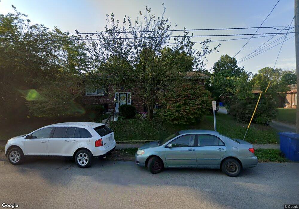
175 Park Ave Delaware, OH 43015
Estimated Value: $221,000 - $292,000
3
Beds
2
Baths
1,960
Sq Ft
$131/Sq Ft
Est. Value
About This Home
This home is located at 175 Park Ave, Delaware, OH 43015 and is currently estimated at $256,157, approximately $130 per square foot. 175 Park Ave is a home located in Delaware County with nearby schools including Laura Woodward Elementary School, John C. Dempsey Middle School, and Rutherford B. Hayes High School.
Ownership History
Date
Name
Owned For
Owner Type
Purchase Details
Closed on
May 9, 2016
Sold by
Froehich David and Froehich Carol
Bought by
Cadef Enterprises Llc
Current Estimated Value
Purchase Details
Closed on
Aug 1, 2008
Sold by
The Bank Of New York
Bought by
Froehlick David and Froehlick Carol
Purchase Details
Closed on
Apr 30, 2008
Sold by
Bayless Hazel R
Bought by
Jp Morgan Chase Bank Na
Create a Home Valuation Report for This Property
The Home Valuation Report is an in-depth analysis detailing your home's value as well as a comparison with similar homes in the area
Home Values in the Area
Average Home Value in this Area
Purchase History
| Date | Buyer | Sale Price | Title Company |
|---|---|---|---|
| Cadef Enterprises Llc | -- | -- | |
| Froehlick David | $80,400 | Sovereign Title | |
| Jp Morgan Chase Bank Na | $78,000 | None Available |
Source: Public Records
Tax History
| Year | Tax Paid | Tax Assessment Tax Assessment Total Assessment is a certain percentage of the fair market value that is determined by local assessors to be the total taxable value of land and additions on the property. | Land | Improvement |
|---|---|---|---|---|
| 2024 | $2,456 | $50,760 | $10,050 | $40,710 |
| 2023 | $2,844 | $58,670 | $10,050 | $48,620 |
| 2022 | $2,343 | $41,970 | $8,370 | $33,600 |
| 2021 | $2,394 | $41,970 | $8,370 | $33,600 |
| 2020 | $2,747 | $47,570 | $8,370 | $39,200 |
| 2019 | $2,431 | $38,150 | $7,280 | $30,870 |
| 2018 | $2,464 | $38,150 | $7,280 | $30,870 |
| 2017 | $2,441 | $29,400 | $6,300 | $23,100 |
| 2016 | $1,739 | $29,400 | $6,300 | $23,100 |
| 2015 | $1,749 | $29,400 | $6,300 | $23,100 |
| 2014 | $1,777 | $29,400 | $6,300 | $23,100 |
| 2013 | $1,876 | $30,870 | $6,300 | $24,570 |
Source: Public Records
Map
Nearby Homes
- 103 Oak Hill Ave
- 7 Maple St
- 168 London Rd
- 297 W William St
- 34 Stilson St
- 53 Neil St
- 65 Neil St
- 63 Coldstone Ct
- 76 Allenhurst Way
- 151 W Lincoln Ave
- 90 Richards Dr
- 102 W Lincoln Ave
- 3058 Brian Way
- 3173 Brian Way
- 3035 Brian Way
- 684 South St
- 10 Penick Ave
- 0 N Liberty St
- 488 Rochdale Run
- 290 N Liberty St
Your Personal Tour Guide
Ask me questions while you tour the home.