175 Piper Blvd Unit 13 Port Orange, FL 32128
Samsula-Spruce Creek NeighborhoodEstimated Value: $748,379
--
Bed
1
Bath
2,150
Sq Ft
$348/Sq Ft
Est. Value
About This Home
This home is located at 175 Piper Blvd Unit 13, Port Orange, FL 32128 and is currently estimated at $748,379, approximately $348 per square foot. 175 Piper Blvd Unit 13 is a home located in Volusia County with nearby schools including Cypress Creek Elementary School, Creekside Middle School, and Spruce Creek High School.
Ownership History
Date
Name
Owned For
Owner Type
Purchase Details
Closed on
Jun 27, 2012
Sold by
Poel Lovada S
Bought by
Egan Walter G and Oshea Susan M
Current Estimated Value
Purchase Details
Closed on
Jan 6, 1998
Sold by
Block Thomas H
Bought by
Poel Harlan J and Poel Lovada S
Home Financials for this Owner
Home Financials are based on the most recent Mortgage that was taken out on this home.
Original Mortgage
$118,400
Interest Rate
7.18%
Mortgage Type
Commercial
Purchase Details
Closed on
Jan 16, 1996
Sold by
Kennedy James A and Kennedy Doris J
Bought by
Block Thomas H
Create a Home Valuation Report for This Property
The Home Valuation Report is an in-depth analysis detailing your home's value as well as a comparison with similar homes in the area
Home Values in the Area
Average Home Value in this Area
Purchase History
| Date | Buyer | Sale Price | Title Company |
|---|---|---|---|
| Egan Walter G | $239,000 | Coast Title Of Volusia | |
| Poel Harlan J | $148,000 | -- | |
| Block Thomas H | $120,000 | -- |
Source: Public Records
Mortgage History
| Date | Status | Borrower | Loan Amount |
|---|---|---|---|
| Previous Owner | Poel Harlan J | $118,400 |
Source: Public Records
Tax History Compared to Growth
Tax History
| Year | Tax Paid | Tax Assessment Tax Assessment Total Assessment is a certain percentage of the fair market value that is determined by local assessors to be the total taxable value of land and additions on the property. | Land | Improvement |
|---|---|---|---|---|
| 2025 | $6,480 | $435,169 | $225,750 | $209,419 |
| 2024 | $6,480 | $425,177 | $225,750 | $199,427 |
| 2023 | $6,480 | $387,236 | $197,800 | $189,436 |
| 2022 | $5,997 | $346,921 | $182,750 | $164,171 |
| 2021 | $5,655 | $285,275 | $139,750 | $145,525 |
| 2020 | $5,460 | $282,273 | $139,750 | $142,523 |
| 2019 | $5,331 | $273,841 | $139,750 | $134,091 |
| 2018 | $4,807 | $226,689 | $107,500 | $119,189 |
| 2017 | $4,623 | $220,614 | $107,500 | $113,114 |
| 2016 | $4,502 | $202,916 | $0 | $0 |
| 2015 | $4,164 | $173,594 | $0 | $0 |
| 2014 | $3,843 | $167,716 | $0 | $0 |
Source: Public Records
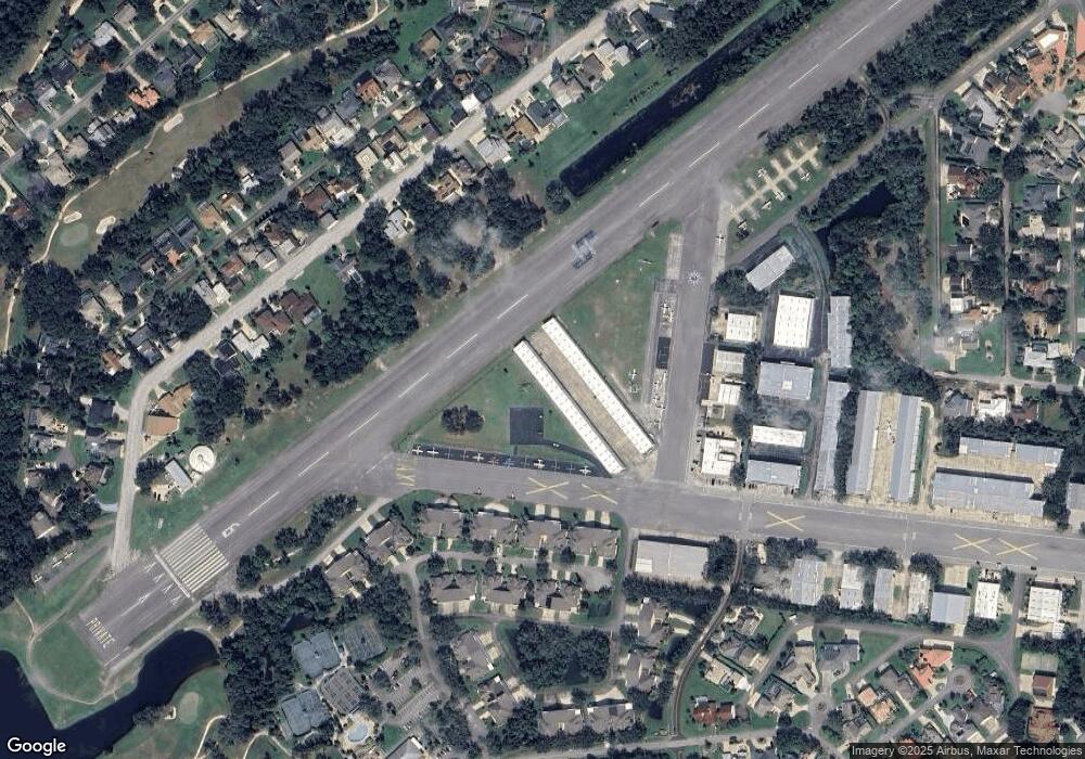
Map
Nearby Homes
- 14 Taxiway Lindy
- 2633 Slow Flight Dr
- 2540 Tail Spin Trail
- 2536 Tail Spin Trail
- 52 Taxiway Lindy Loop
- 56 Lazy Eight Dr
- 1882 Royal Lytham Ct
- 1889 Seclusion Dr
- 1888 Seclusion Dr
- 1885 Silver Fern Dr Unit 15
- 1879 Silver Fern Dr
- 1978 Country Club Dr
- 1795 Earhart Ct
- 1787 Earhart Ct
- 3311 Oak Vista Dr
- 1779 Earhart Ct
- 2584 E Spruce Creek Blvd
- 3184 Royal Birkdale Way
- 1995 Royal Saint George Ct
- St. Tropez Plan at The Estates at Brown's Landing
- 175 Piper Blvd
- 185 Piper Blvd Unit 12
- 125 Piper Blvd Unit 18
- 217 Cessna Blvd
- 1996 Hawks Nest Dr Unit 20
- 1992 Hawks Nest Dr Unit 22
- 1986 Hawks Nest Dr Unit 25
- 1990 Hawks Nest Dr Unit 23
- 1994 Hawks Nest Dr
- 1988 Hawks Nest Dr Unit 24
- 1998 Hawks Nest Dr Unit 19
- 2 Beech Blvd
- 2 Taxiway Lindy Loop
- 1984 Hawks Nest Dr Unit 26
- 1984 Hawks Nest Dr
- 21 Beech Blvd
- 20 Lindy Loop Unit 1
- 22 Taxiway Lindy Loop
- 1989 Hawks Nest Dr
- 24 Lindy Loop