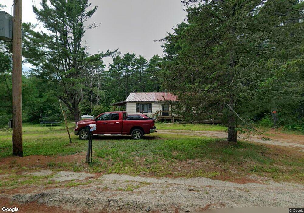
175 Plains Rd Harrison, ME 04040
Harrison NeighborhoodEstimated Value: $213,000 - $327,000
3
Beds
1
Bath
912
Sq Ft
$282/Sq Ft
Est. Value
About This Home
This home is located at 175 Plains Rd, Harrison, ME 04040 and is currently estimated at $256,939, approximately $281 per square foot. 175 Plains Rd is a home with nearby schools including Harrison Elementary School, Oxford Hills Middle School, and Oxford Hills Comprehensive High School.
Ownership History
Date
Name
Owned For
Owner Type
Purchase Details
Closed on
Jan 24, 2025
Sold by
Cummings Nelson S
Bought by
Cummings Halbert N
Current Estimated Value
Home Financials for this Owner
Home Financials are based on the most recent Mortgage that was taken out on this home.
Original Mortgage
$84,750
Outstanding Balance
$83,821
Interest Rate
6.6%
Mortgage Type
Purchase Money Mortgage
Estimated Equity
$173,118
Create a Home Valuation Report for This Property
The Home Valuation Report is an in-depth analysis detailing your home's value as well as a comparison with similar homes in the area
Home Values in the Area
Average Home Value in this Area
Purchase History
| Date | Buyer | Sale Price | Title Company |
|---|---|---|---|
| Cummings Halbert N | $87,400 | None Available | |
| Cummings Halbert N | $87,400 | None Available |
Source: Public Records
Mortgage History
| Date | Status | Borrower | Loan Amount |
|---|---|---|---|
| Open | Cummings Halbert N | $84,750 | |
| Closed | Cummings Halbert N | $84,750 |
Source: Public Records
Tax History
| Year | Tax Paid | Tax Assessment Tax Assessment Total Assessment is a certain percentage of the fair market value that is determined by local assessors to be the total taxable value of land and additions on the property. | Land | Improvement |
|---|---|---|---|---|
| 2025 | $1,753 | $213,500 | $80,100 | $133,400 |
| 2024 | $1,644 | $213,500 | $80,100 | $133,400 |
| 2023 | $1,348 | $104,100 | $25,100 | $79,000 |
| 2022 | $1,239 | $104,100 | $25,100 | $79,000 |
| 2021 | $1,218 | $104,100 | $25,100 | $79,000 |
| 2020 | $1,239 | $104,100 | $25,100 | $79,000 |
| 2019 | $1,166 | $104,100 | $25,100 | $79,000 |
| 2018 | $1,838 | $170,200 | $31,300 | $138,900 |
| 2017 | $1,813 | $170,200 | $31,300 | $138,900 |
| 2016 | $1,864 | $170,200 | $31,300 | $138,900 |
Source: Public Records
Map
Nearby Homes
- 20 Twig Cir
- 39 Twig Cir
- 312 Plains Rd
- 76 Upton Rd
- 239 Bolsters Mills Rd
- 795 Norway Rd
- 586 Plains Rd
- 744 Harrison Rd
- 3-2 Fire Ln 63
- 75 Moose Pond Rd
- 558 Norway Rd
- 519 Norway Rd
- 116 New Harrison Rd
- MR11 Lot40 Yeaton Swamp Rd
- 592 Maple Ridge Rd
- 277 Rayville Rd
- TBD Sodom Rd
- Lot A. Serenity Ln
- 32 Dillon Rd
- Lot 7A Chase Gate Rd
- 183 Plains Rd
- 213 Upton Rd
- 176 Plains Rd
- 174 Plains Rd
- 0 Plains & Bolsters Mill
- 166 Plains Rd
- 189 Plains Rd
- 209 Upton Rd
- 155 Plains Rd
- 66 Twig Cir
- 4 Ryefield Bridge Rd
- 149 Plains Rd
- 0 Ryefield Bridge
- 0 Ryefield Bridge Rd
- 16 Ryefield Bridge Rd
- 26 Ryefield Bridge Rd
- 187 Upton Rd
- 15 Rich Rd
- 61 Twig Cir
- 25 Rich Rd
Your Personal Tour Guide
Ask me questions while you tour the home.