175 Prescott Hill Rd Northport, ME 04849
Estimated Value: $269,129 - $466,000
--
Bed
--
Bath
--
Sq Ft
5.8
Acres
About This Home
This home is located at 175 Prescott Hill Rd, Northport, ME 04849 and is currently estimated at $382,282. 175 Prescott Hill Rd is a home with nearby schools including The School At Sweetser - Belfast and Cornerspring Children's House.
Ownership History
Date
Name
Owned For
Owner Type
Purchase Details
Closed on
Jun 30, 2020
Sold by
Peabody Timothy E and Peabody Barbara J
Bought by
Kosmo Michelle
Current Estimated Value
Home Financials for this Owner
Home Financials are based on the most recent Mortgage that was taken out on this home.
Original Mortgage
$240,000
Outstanding Balance
$213,211
Interest Rate
3.2%
Mortgage Type
New Conventional
Estimated Equity
$169,071
Purchase Details
Closed on
May 16, 2014
Sold by
Nickerson Clarence G and Nickerson Margaret W
Bought by
Peabody Timothy E and Peabody Barbara J
Create a Home Valuation Report for This Property
The Home Valuation Report is an in-depth analysis detailing your home's value as well as a comparison with similar homes in the area
Home Values in the Area
Average Home Value in this Area
Purchase History
| Date | Buyer | Sale Price | Title Company |
|---|---|---|---|
| Kosmo Michelle | -- | None Available | |
| Peabody Timothy E | -- | -- |
Source: Public Records
Mortgage History
| Date | Status | Borrower | Loan Amount |
|---|---|---|---|
| Open | Kosmo Michelle | $240,000 |
Source: Public Records
Tax History Compared to Growth
Tax History
| Year | Tax Paid | Tax Assessment Tax Assessment Total Assessment is a certain percentage of the fair market value that is determined by local assessors to be the total taxable value of land and additions on the property. | Land | Improvement |
|---|---|---|---|---|
| 2024 | $3,051 | $172,400 | $43,600 | $128,800 |
| 2023 | $2,802 | $172,400 | $43,600 | $128,800 |
| 2022 | $2,741 | $172,400 | $43,600 | $128,800 |
| 2021 | $2,672 | $172,400 | $43,600 | $128,800 |
| 2020 | $2,629 | $172,400 | $43,600 | $128,800 |
| 2019 | $2,741 | $172,400 | $43,600 | $128,800 |
| 2018 | $2,503 | $172,400 | $43,600 | $128,800 |
| 2017 | $2,488 | $172,400 | $43,600 | $128,800 |
| 2016 | $2,439 | $172,400 | $43,600 | $128,800 |
| 2015 | $2,379 | $172,400 | $43,600 | $128,800 |
| 2014 | $2,745 | $168,400 | $39,600 | $128,800 |
| 2013 | $2,383 | $168,400 | $39,600 | $128,800 |
Source: Public Records
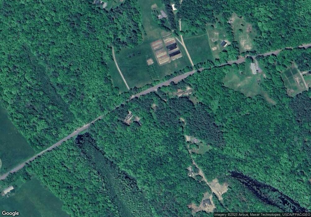
Map
Nearby Homes
- 139 Prescott Hill Rd
- 1145 Moosewood Ln
- 27 Bowling Green Ln
- 11 Bowling Green Ln
- 173 Bog Rd
- Lot 26 Mariners Watch Rd
- 21 Dream Ln
- L 58 Part Horse Jockey Ln
- 5 Freedom Ln
- 192 Flanders Rd
- 5 Whitetail St
- 6 Whitetail St
- 7 Whitetail St
- 95 Bayside Rd
- 00 Armstrong Rd
- 285 Northport Ave
- 49 Bayside Rd
- 223 Priest Rd
- 11 Tozier St
- 225 Priest Rd
- 9 Fox Hollow Ln
- 34 Cobb Meadow Ln
- 191 Prescott Hill Rd
- 23 Cobb Meadow Ln
- 139 Prescott Hill
- 145 Prescott Hill Rd
- 32 Cobb Meadow Ln
- 35 Piper Stream Rd
- 130 Prescott Hill Rd
- 179-A Prescott Hill Rd
- 179-B Prescott Hill Rd
- 0 Prescott Hill Rd
- 179 Prescott Hill Rd
- 97 Prescott Hill Rd
- 48 Fox Hollow Ln
- 94 Prescott Hill Rd
- 129 Prescott Hill Rd
- 115 Prescott Hill Rd
- 107 Prescott Hill Rd
- 10 Blueberry Rd