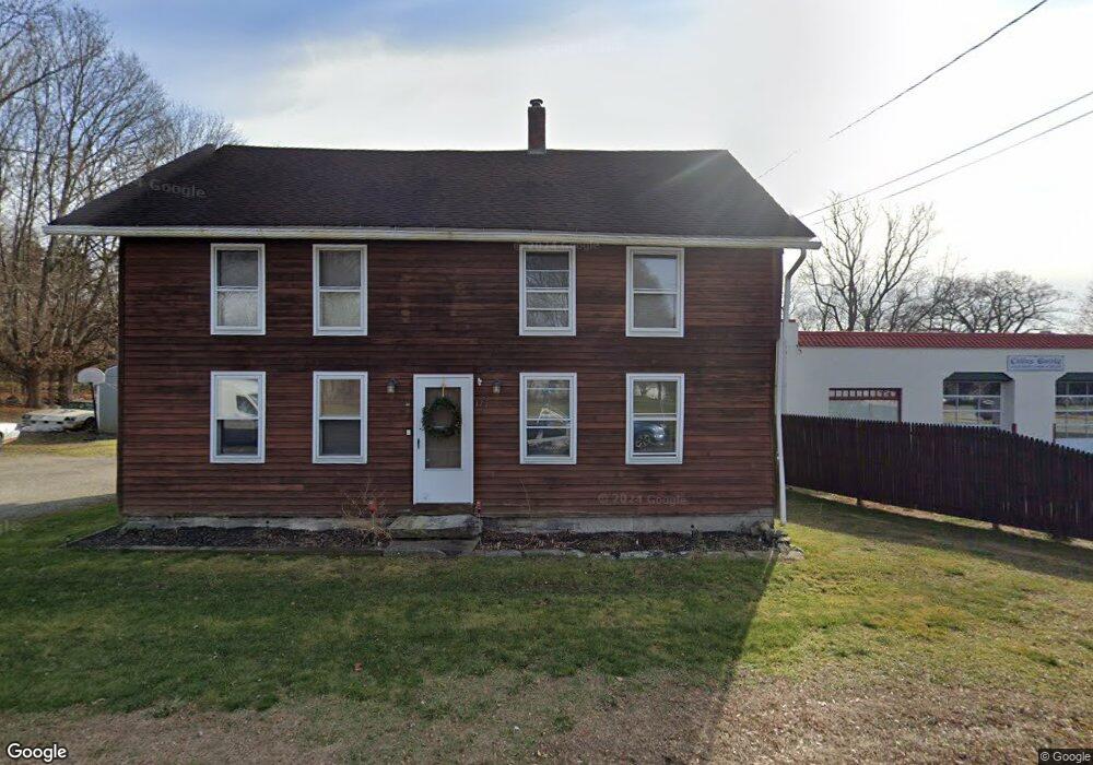
175 Route 66 Columbia, CT 06237
Estimated Value: $244,000 - $306,000
4
Beds
2
Baths
1,728
Sq Ft
$154/Sq Ft
Est. Value
About This Home
This home is located at 175 Route 66, Columbia, CT 06237 and is currently estimated at $265,410, approximately $153 per square foot. 175 Route 66 is a home located in Tolland County with nearby schools including Horace W. Porter School and Oak Grove Montessori School.
Ownership History
Date
Name
Owned For
Owner Type
Purchase Details
Closed on
May 8, 2017
Sold by
Quinn Robert A and Quinn Marie S
Bought by
Coombs Christopher M and Coombs Toni D
Current Estimated Value
Home Financials for this Owner
Home Financials are based on the most recent Mortgage that was taken out on this home.
Original Mortgage
$107,070
Outstanding Balance
$89,358
Interest Rate
4.23%
Mortgage Type
Purchase Money Mortgage
Estimated Equity
$176,052
Purchase Details
Closed on
Mar 3, 2010
Sold by
Republic Oil Co Inc
Bought by
Quinn Robert and Quinn Marie
Purchase Details
Closed on
Jun 22, 1989
Sold by
Anderson Sandra
Bought by
Republic Oil Co
Create a Home Valuation Report for This Property
The Home Valuation Report is an in-depth analysis detailing your home's value as well as a comparison with similar homes in the area
Home Values in the Area
Average Home Value in this Area
Purchase History
| Date | Buyer | Sale Price | Title Company |
|---|---|---|---|
| Coombs Christopher M | $110,000 | -- | |
| Quinn Robert | $100,000 | -- | |
| Republic Oil Co | $153,000 | -- |
Source: Public Records
Mortgage History
| Date | Status | Borrower | Loan Amount |
|---|---|---|---|
| Open | Republic Oil Co | $107,070 | |
| Closed | Republic Oil Co | $11,000 | |
| Previous Owner | Republic Oil Co | $102,000 |
Source: Public Records
Tax History Compared to Growth
Tax History
| Year | Tax Paid | Tax Assessment Tax Assessment Total Assessment is a certain percentage of the fair market value that is determined by local assessors to be the total taxable value of land and additions on the property. | Land | Improvement |
|---|---|---|---|---|
| 2025 | $4,006 | $136,850 | $38,080 | $98,770 |
| 2024 | $3,848 | $136,850 | $38,080 | $98,770 |
| 2023 | $3,546 | $136,850 | $38,080 | $98,770 |
| 2022 | $3,540 | $136,850 | $38,080 | $98,770 |
| 2021 | $3,728 | $127,100 | $34,700 | $92,400 |
| 2020 | $3,728 | $127,100 | $34,700 | $92,400 |
| 2019 | $3,663 | $124,900 | $34,700 | $90,200 |
| 2018 | $3,654 | $124,900 | $34,700 | $90,200 |
| 2017 | $4,136 | $124,900 | $34,700 | $90,200 |
| 2016 | $3,219 | $117,300 | $34,700 | $82,600 |
| 2015 | $3,182 | $117,300 | $34,700 | $82,600 |
| 2014 | $3,182 | $117,300 | $34,700 | $82,600 |
Source: Public Records
Map
Nearby Homes
- 117c Rt 66 Route E
- 177 Route 66
- 177 Connecticut 66
- 331 Route 87
- 0 Route 66 N Unit G486268
- 0 Route #66 S Unit E274251
- 283 Connecticut 66
- 287 Connecticut 66
- 171 Route 66
- 333 Route 87
- 483 Connecticut 87
- 335 Route 87
- 330 Route 87
- 329 Route 87
- 326 Connecticut 87
- 326 Route 87 Unit A2
- 326 Route 87
- 326 Route 87 Unit 1 R
- 326 Route 87 Unit 1 F
- 326 Route 87 Unit 2 R