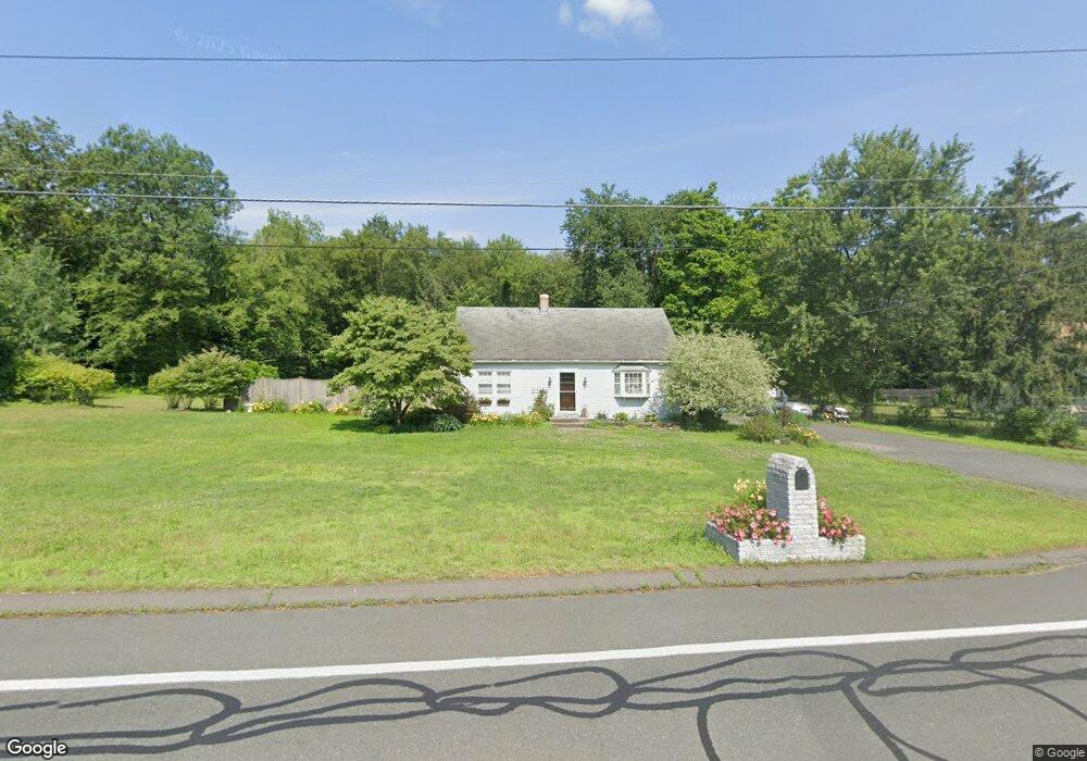
175 S Loomis St Southwick, MA 01077
Estimated Value: $299,000 - $405,000
4
Beds
2
Baths
1,166
Sq Ft
$306/Sq Ft
Est. Value
About This Home
This home is located at 175 S Loomis St, Southwick, MA 01077 and is currently estimated at $356,972, approximately $306 per square foot. 175 S Loomis St is a home located in Hampden County with nearby schools including Woodland School, Powder Mill Middle School, and Southwick Regional School.
Ownership History
Date
Name
Owned For
Owner Type
Purchase Details
Closed on
Jun 14, 2019
Sold by
Whitehead Eugene J
Bought by
Whitehead Eugene J and Whitehead Dilia Wendy
Current Estimated Value
Purchase Details
Closed on
Apr 2, 2014
Sold by
Clark 3Rd Raymond W
Bought by
Whitehead Eugene J
Home Financials for this Owner
Home Financials are based on the most recent Mortgage that was taken out on this home.
Original Mortgage
$124,800
Interest Rate
4.33%
Mortgage Type
New Conventional
Purchase Details
Closed on
Aug 21, 2009
Sold by
Clark Raymond W and Clark Vivian M
Bought by
Clark Raymond W
Create a Home Valuation Report for This Property
The Home Valuation Report is an in-depth analysis detailing your home's value as well as a comparison with similar homes in the area
Home Values in the Area
Average Home Value in this Area
Purchase History
| Date | Buyer | Sale Price | Title Company |
|---|---|---|---|
| Whitehead Eugene J | -- | -- | |
| Whitehead Eugene J | $156,000 | -- | |
| Clark Raymond W | -- | -- |
Source: Public Records
Mortgage History
| Date | Status | Borrower | Loan Amount |
|---|---|---|---|
| Previous Owner | Whitehead Eugene J | $124,800 |
Source: Public Records
Tax History
| Year | Tax Paid | Tax Assessment Tax Assessment Total Assessment is a certain percentage of the fair market value that is determined by local assessors to be the total taxable value of land and additions on the property. | Land | Improvement |
|---|---|---|---|---|
| 2025 | $4,268 | $274,100 | $85,200 | $188,900 |
| 2024 | $4,039 | $261,100 | $81,200 | $179,900 |
| 2023 | $3,887 | $241,300 | $81,200 | $160,100 |
| 2022 | $3,727 | $219,500 | $74,000 | $145,500 |
| 2021 | $3,379 | $192,100 | $74,000 | $118,100 |
| 2020 | $2,456 | $191,000 | $74,000 | $117,000 |
| 2019 | $2,994 | $171,400 | $58,800 | $112,600 |
| 2018 | $2,162 | $171,400 | $58,800 | $112,600 |
| 2017 | $1,329 | $162,700 | $56,200 | $106,500 |
| 2016 | $2,782 | $162,700 | $56,200 | $106,500 |
| 2015 | $2,924 | $172,600 | $55,000 | $117,600 |
Source: Public Records
Map
Nearby Homes
- 368 Granville Rd
- 8 Curtis Rd
- 371R N Loomis St
- 21 Fred Jackson Rd
- 377 N Loomis St
- 116 Granville Rd
- 221 Mort Vining Rd
- 15 Stoneybrook Dr
- 17 Stoneybrook Dr
- 233 Mort Vining Rd
- 26 Silver Brook Ln
- 604 Main Rd
- 1 Northcrest Dr
- 240 Hillside Rd
- 112 Sunnyside Rd
- 5 Sawgrass Ln
- Lot 11 Ridgeview Terrace
- 14 Peck Orchard Rd
- 61 S View Dr
- 31 Pineywood Rd
Your Personal Tour Guide
Ask me questions while you tour the home.