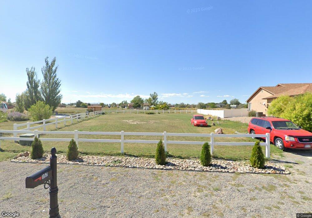
175 S Shooting Star Dr Unit 25 Pueblo West, CO 81007
Estimated Value: $276,000
--
Bed
--
Bath
--
Sq Ft
0.32
Acres
About This Home
This home is located at 175 S Shooting Star Dr Unit 25, Pueblo West, CO 81007 and is currently priced at $276,000. 175 S Shooting Star Dr Unit 25 is a home located in Pueblo County with nearby schools including Liberty Point Elementary School, Liberty Point International School, and Pueblo West High School.
Ownership History
Date
Name
Owned For
Owner Type
Purchase Details
Closed on
Sep 28, 2022
Sold by
Mantanona Roland R and Mantanona Aurora M
Bought by
Mantanona Roland R and Mantanona Aurora M
Current Estimated Value
Purchase Details
Closed on
Dec 5, 2005
Sold by
Sheldon John
Bought by
Mantanona Roland R
Home Financials for this Owner
Home Financials are based on the most recent Mortgage that was taken out on this home.
Original Mortgage
$6,000
Interest Rate
10%
Mortgage Type
Seller Take Back
Purchase Details
Closed on
Jan 7, 1983
Sold by
Lawyers Title Of Pueblo
Bought by
Sheldon John
Create a Home Valuation Report for This Property
The Home Valuation Report is an in-depth analysis detailing your home's value as well as a comparison with similar homes in the area
Home Values in the Area
Average Home Value in this Area
Purchase History
| Date | Buyer | Sale Price | Title Company |
|---|---|---|---|
| Mantanona Roland R | -- | None Listed On Document | |
| Mantanona Roland R | $12,000 | -- | |
| Sheldon John | $7,400 | -- |
Source: Public Records
Mortgage History
| Date | Status | Borrower | Loan Amount |
|---|---|---|---|
| Previous Owner | Mantanona Roland R | $6,000 |
Source: Public Records
Tax History Compared to Growth
Tax History
| Year | Tax Paid | Tax Assessment Tax Assessment Total Assessment is a certain percentage of the fair market value that is determined by local assessors to be the total taxable value of land and additions on the property. | Land | Improvement |
|---|---|---|---|---|
| 2023 | $70 | $2,030 | $2,030 | -- |
| 2022 | $70 | $700 | $700 | $0 |
| 2021 | $72 | $720 | $720 | $0 |
| 2020 | $39 | $720 | $720 | $0 |
| 2019 | $39 | $393 | $393 | $0 |
| 2018 | $32 | $324 | $324 | $0 |
| 2017 | $32 | $324 | $324 | $0 |
| 2016 | $48 | $478 | $478 | $0 |
| 2015 | $47 | $478 | $478 | $0 |
| 2014 | $36 | $716 | $716 | $0 |
Source: Public Records
Map
Nearby Homes
- 463 E Fraser Dr
- 557 E Clarion Dr
- 321 S Bayfield Ave
- 385 E Larchmont Dr
- 469 E Hahns Peak Ave
- 288 S Wiggins Dr
- 861 E Enterprise Dr
- 453 E Enterprise Dr
- 629 E Clarion Dr
- 356 S Tanager Ct
- 416 S Hahns Peak Place
- 293 S Maher Dr
- 671 E Clarion Dr
- 733 E Clarion Dr
- 444 S Gilia Dr
- 226 E Falcon Dr
- 434 S Latimer Dr
- 487 E Latimer Ln
- 169 E Idaho Springs Dr
- 238 E Ohio Dr
- 193 S Shooting Star Dr
- 157 S Shooting Star Dr
- 194 S Shooting Star Dr
- 492 E Clarion Dr
- 492 E Clarion Dr Unit 1
- 510 E Clarion Dr
- 525 S Clarion Dr
- 443 E Fraser Dr
- 523 E Clarion Dr
- 207 S Clarion Ct
- 215 S Clarion Ct
- 215 S Clarion Ct
- 524 E Clarion Dr Unit 9
- 442 E Fraser Dr
- 450 E Fraser Dr
- 469 E Fraser Dr
- 469 E Fraser Dr Unit 2
- 223 S Clarion Ct
- 543 E Clarion Dr
- 534 E Clarion Dr