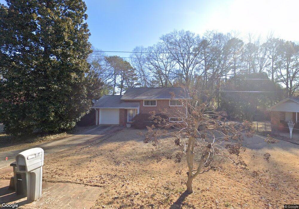
175 Segrest Cir Athens, GA 30605
Estimated Value: $203,996 - $352,000
--
Bed
1
Bath
1,624
Sq Ft
$180/Sq Ft
Est. Value
About This Home
This home is located at 175 Segrest Cir, Athens, GA 30605 and is currently estimated at $292,749, approximately $180 per square foot. 175 Segrest Cir is a home located in Clarke County with nearby schools including Barnett Shoals Elementary School, Hilsman Middle School, and Cedar Shoals High School.
Ownership History
Date
Name
Owned For
Owner Type
Purchase Details
Closed on
Jul 25, 2007
Sold by
Not Provided
Bought by
Shedenhelm Laura D
Current Estimated Value
Home Financials for this Owner
Home Financials are based on the most recent Mortgage that was taken out on this home.
Original Mortgage
$111,600
Outstanding Balance
$69,899
Interest Rate
6.63%
Mortgage Type
New Conventional
Estimated Equity
$222,850
Purchase Details
Closed on
Aug 6, 1990
Sold by
Cooper Thomas C and Cooper Barbara R
Bought by
Shedenhelm Richard Scott and Laura De
Create a Home Valuation Report for This Property
The Home Valuation Report is an in-depth analysis detailing your home's value as well as a comparison with similar homes in the area
Home Values in the Area
Average Home Value in this Area
Purchase History
| Date | Buyer | Sale Price | Title Company |
|---|---|---|---|
| Shedenhelm Laura D | -- | -- | |
| Shedenhelm Richard Scott | $57,500 | -- |
Source: Public Records
Mortgage History
| Date | Status | Borrower | Loan Amount |
|---|---|---|---|
| Open | Shedenhelm Laura D | $111,600 |
Source: Public Records
Tax History Compared to Growth
Tax History
| Year | Tax Paid | Tax Assessment Tax Assessment Total Assessment is a certain percentage of the fair market value that is determined by local assessors to be the total taxable value of land and additions on the property. | Land | Improvement |
|---|---|---|---|---|
| 2025 | $1,245 | $80,778 | $12,000 | $68,778 |
| 2024 | $1,245 | $74,956 | $12,000 | $62,956 |
| 2023 | $270 | $71,574 | $12,000 | $59,574 |
| 2022 | $1,270 | $58,685 | $12,000 | $46,685 |
| 2021 | $1,214 | $49,490 | $12,000 | $37,490 |
| 2020 | $1,157 | $45,358 | $12,000 | $33,358 |
| 2019 | $1,142 | $43,648 | $12,000 | $31,648 |
| 2018 | $1,085 | $41,950 | $12,000 | $29,950 |
| 2017 | $834 | $34,572 | $12,000 | $22,572 |
| 2016 | $845 | $34,881 | $12,000 | $22,881 |
| 2015 | $851 | $35,020 | $12,000 | $23,020 |
| 2014 | $865 | $35,370 | $12,000 | $23,370 |
Source: Public Records
Map
Nearby Homes
- 195 Segrest Cir
- 145 Segrest Cir
- 205 Segrest Cir
- 385 Vista Dr
- 150 Segrest Cir
- 110 Segrest Cir
- 215 Segrest Cir
- 215R Segrest Cir
- 380 Vista Dr
- 345 Vista Dr
- 1078 College Station Rd
- 340 Vista Dr
- 315 Vista Dr
- 225 Segrest Cir
- 220 Segrest Cir
- 1085 College Station Rd
- 1072 College Station Rd
- 1079 College Station Rd
- 101 Mark Twain Cir Unit D
- 300 Vista Dr