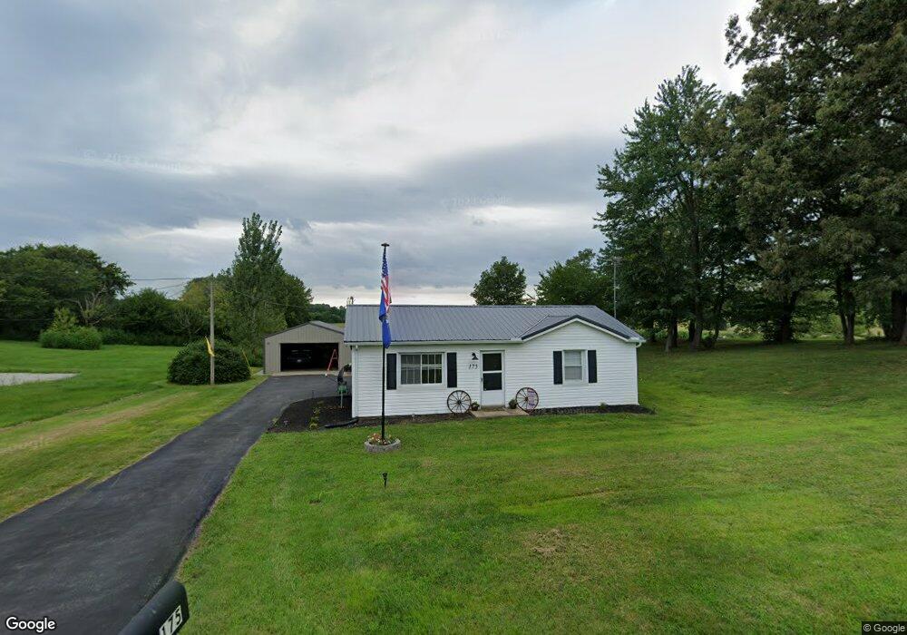
175 State Route 56 N Calhoun, KY 42327
Estimated Value: $170,000 - $203,000
Studio
--
Bath
252
Sq Ft
$729/Sq Ft
Est. Value
About This Home
This home is located at 175 State Route 56 N, Calhoun, KY 42327 and is currently estimated at $183,738, approximately $729 per square foot. 175 State Route 56 N is a home with nearby schools including McLean County High School.
Ownership History
Date
Name
Owned For
Owner Type
Purchase Details
Closed on
Jul 13, 2023
Sold by
Eubanks William and Eubanks Haylee
Bought by
Cox Brian R
Current Estimated Value
Purchase Details
Closed on
Oct 16, 2017
Sold by
Crisp David J
Bought by
Bodine Samuel Walker
Home Financials for this Owner
Home Financials are based on the most recent Mortgage that was taken out on this home.
Original Mortgage
$80,750
Interest Rate
3.82%
Mortgage Type
New Conventional
Create a Home Valuation Report for This Property
The Home Valuation Report is an in-depth analysis detailing your home's value as well as a comparison with similar homes in the area
Purchase History
| Date | Buyer | Sale Price | Title Company |
|---|---|---|---|
| Cox Brian R | $155,000 | -- | |
| Bodine Samuel Walker | $85,000 | Foreman Watson Land Title Llc | |
| Crisp David Jarod | -- | -- |
Source: Public Records
Mortgage History
| Date | Status | Borrower | Loan Amount |
|---|---|---|---|
| Previous Owner | Bodine Samuel Walker | $80,750 |
Source: Public Records
Tax History
| Year | Tax Paid | Tax Assessment Tax Assessment Total Assessment is a certain percentage of the fair market value that is determined by local assessors to be the total taxable value of land and additions on the property. | Land | Improvement |
|---|---|---|---|---|
| 2025 | $1,674 | $155,000 | $10,000 | $145,000 |
| 2024 | $1,674 | $155,000 | $10,000 | $145,000 |
| 2023 | $1,205 | $110,000 | $8,000 | $102,000 |
| 2022 | $1,201 | $110,000 | $8,000 | $102,000 |
| 2021 | $934 | $85,000 | $5,000 | $80,000 |
| 2020 | $883 | $85,000 | $5,000 | $80,000 |
| 2019 | $884 | $85,000 | $5,000 | $80,000 |
| 2018 | $874 | $85,000 | $0 | $0 |
| 2016 | $361 | $38,000 | $0 | $0 |
| 2015 | $346 | $38,000 | $0 | $0 |
| 2014 | $344 | $38,000 | $0 | $0 |
Source: Public Records
Map
Nearby Homes
- 305 Kentucky 56
- 8761 State Route 136 W
- 1404 Trailer
- 1432 Kentucky 797
- 806 Gravel Pit Rd
- 289 Charles Buchanan
- 17541 Rangers Landing Rd
- 150 Highbanks Ferry Rd
- 9 Parkview Cir
- 8 Parkview Cir
- 2238 Collins Rd
- 150 W Webster St
- 151 W Webster St
- 9049 & 9055 Easy Street South Loop
- 426 Kentucky 136
- 0 Hwy 41 South (Adj To 14501)
- 7120 Hwy
- 254 State Route 81 N
- 1321 1st St
- 1487 State Route 81 N
- 175 Kentucky 56
- 155 State Route 56 N
- 170 State Route 56 N
- 135 State Route 81 N
- 140 State Route 56 N
- 200 State Route 56 N
- 215 State Route 56 N
- 215 State Route 56 N
- 135 State Route 56 N
- 168 College St
- 210 State Route 56 N
- 149 College St
- 210 Main St
- 440 Main St
- 130 Main St
- 215 Main St
- 175 School House Rd
- 195 College St
- 198 College St
- 145 Main St