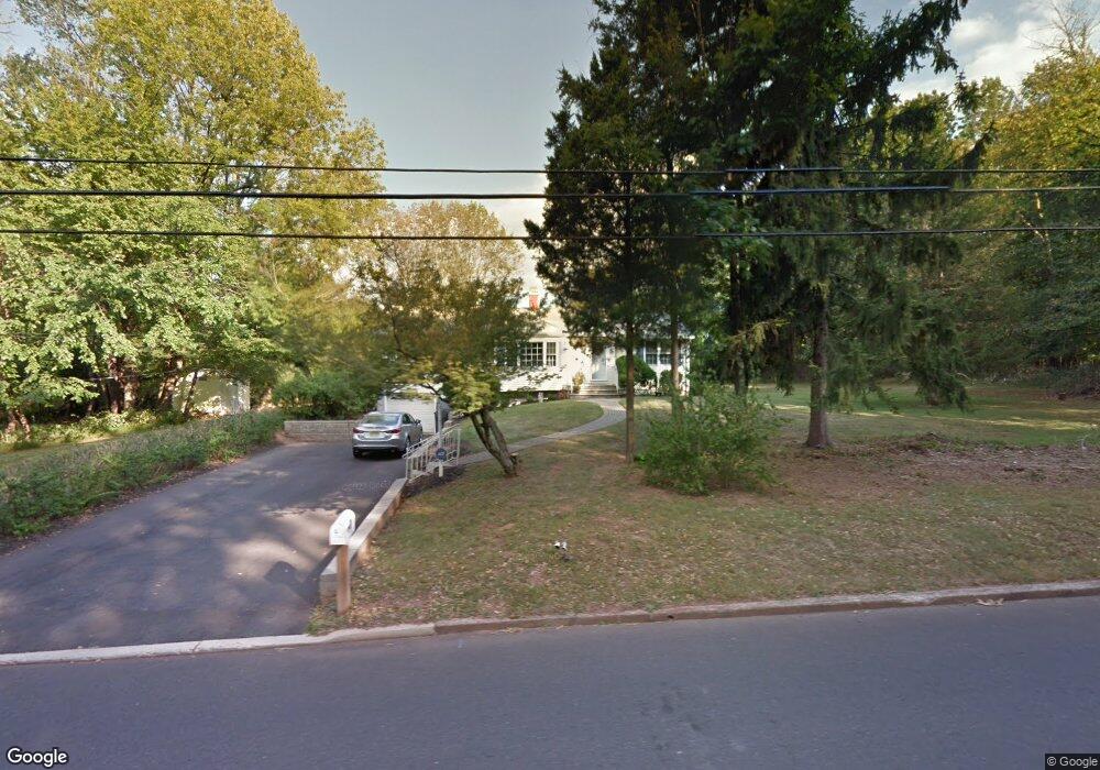
175 Stony Brook Rd Branchburg, NJ 08876
Branchburg Township NeighborhoodEstimated Value: $446,000 - $627,000
--
Bed
--
Bath
1,426
Sq Ft
$387/Sq Ft
Est. Value
About This Home
This home is located at 175 Stony Brook Rd, Branchburg, NJ 08876 and is currently estimated at $551,503, approximately $386 per square foot. 175 Stony Brook Rd is a home located in Somerset County with nearby schools including Whiton Elementary School, Stony Brook School, and Branchburg Central Middle School.
Ownership History
Date
Name
Owned For
Owner Type
Purchase Details
Closed on
Sep 29, 2015
Sold by
Wichowski Olga A
Bought by
Kozic Edward and Kozic Vincenza
Current Estimated Value
Home Financials for this Owner
Home Financials are based on the most recent Mortgage that was taken out on this home.
Original Mortgage
$269,993
Outstanding Balance
$211,486
Interest Rate
3.75%
Mortgage Type
FHA
Estimated Equity
$340,017
Create a Home Valuation Report for This Property
The Home Valuation Report is an in-depth analysis detailing your home's value as well as a comparison with similar homes in the area
Home Values in the Area
Average Home Value in this Area
Purchase History
| Date | Buyer | Sale Price | Title Company |
|---|---|---|---|
| Kozic Edward | $275,000 | Westcor Land Title Ins Co |
Source: Public Records
Mortgage History
| Date | Status | Borrower | Loan Amount |
|---|---|---|---|
| Open | Kozic Edward | $269,993 |
Source: Public Records
Tax History Compared to Growth
Tax History
| Year | Tax Paid | Tax Assessment Tax Assessment Total Assessment is a certain percentage of the fair market value that is determined by local assessors to be the total taxable value of land and additions on the property. | Land | Improvement |
|---|---|---|---|---|
| 2025 | $7,644 | $460,500 | $179,200 | $281,300 |
| 2024 | $7,644 | $423,700 | $179,200 | $244,500 |
| 2023 | $7,478 | $399,700 | $179,200 | $220,500 |
| 2022 | $7,464 | $379,100 | $179,200 | $199,900 |
| 2021 | $7,511 | $355,300 | $179,200 | $176,100 |
| 2020 | $7,443 | $347,300 | $179,200 | $168,100 |
| 2019 | $7,290 | $338,300 | $174,300 | $164,000 |
| 2018 | $7,164 | $331,500 | $169,500 | $162,000 |
| 2017 | $7,076 | $325,200 | $164,500 | $160,700 |
| 2016 | $6,993 | $319,300 | $159,600 | $159,700 |
| 2015 | $6,669 | $316,500 | $152,200 | $164,300 |
| 2014 | $6,532 | $314,000 | $147,300 | $166,700 |
Source: Public Records
Map
Nearby Homes
- 511 Red Crest Ln
- 2 Carlisle Rd
- 203 Red Crest Ln
- 1601 Breckenridge Dr
- 46 Strawberry Hill Rd
- 5 Walnut Dr
- 6 Heritage Ct
- 232 River Rd
- 215 Readington Rd
- 23 Buffalo Hollow Rd
- 713 Colonial Ct
- 21 Cheyenne Trail
- 27 Fremont St
- 33 Iroquois Trail
- 16 Iroquois Trail
- 9 Weavers Ln
- 31 S Davenport St
- 212 County Line Rd
- 185 Milltown Rd
- 3010 Doolittle Dr
- 14 Greenwood Ct
- 12 Greenwood Ct
- 13 Greenwood Ct
- 169 Stony Brook Rd
- 27 Mary Lynn Ln
- 10 Greenwood Ct
- 181 Stony Brook Rd
- 8 Sheephill Cir
- 9 Greenwood Ct
- 11 Greenwood Ct
- 7 Greenwood Ct
- 182 Stony Brook Rd
- 6 Sheephill Cir
- 10 Sheephill Cir
- 8 Greenwood Ct
- 172 Stony Brook Rd
- 5 Greenwood Ct
- 4 Sheephill Cir
- 7 Pine Ridge Dr
- 5 Pine Ridge Dr