175 Tall Oaks Dr Unit A South Weymouth, MA 02190
South Weymouth NeighborhoodEstimated Value: $466,614 - $488,000
3
Beds
2
Baths
1,984
Sq Ft
$240/Sq Ft
Est. Value
About This Home
This home is located at 175 Tall Oaks Dr Unit A, South Weymouth, MA 02190 and is currently estimated at $476,654, approximately $240 per square foot. 175 Tall Oaks Dr Unit A is a home located in Norfolk County with nearby schools including Ralph Talbot Primary School, Abigail Adams Middle School, and Weymouth Middle School Chapman.
Ownership History
Date
Name
Owned For
Owner Type
Purchase Details
Closed on
Feb 27, 2007
Sold by
Cordier Debra A
Bought by
Cann Toni E
Current Estimated Value
Home Financials for this Owner
Home Financials are based on the most recent Mortgage that was taken out on this home.
Original Mortgage
$308,000
Outstanding Balance
$186,122
Interest Rate
6.23%
Mortgage Type
Purchase Money Mortgage
Estimated Equity
$290,532
Purchase Details
Closed on
May 17, 1999
Sold by
Ingrao Walter M and Ingrao Linda M
Bought by
Cordier Debra A
Home Financials for this Owner
Home Financials are based on the most recent Mortgage that was taken out on this home.
Original Mortgage
$130,000
Interest Rate
6.92%
Mortgage Type
Purchase Money Mortgage
Create a Home Valuation Report for This Property
The Home Valuation Report is an in-depth analysis detailing your home's value as well as a comparison with similar homes in the area
Home Values in the Area
Average Home Value in this Area
Purchase History
| Date | Buyer | Sale Price | Title Company |
|---|---|---|---|
| Cann Toni E | $308,000 | -- | |
| Cordier Debra A | $170,000 | -- |
Source: Public Records
Mortgage History
| Date | Status | Borrower | Loan Amount |
|---|---|---|---|
| Open | Cann Toni E | $308,000 | |
| Previous Owner | Cordier Debra A | $130,000 | |
| Previous Owner | Cordier Debra A | $95,000 | |
| Previous Owner | Cordier Debra A | $15,000 |
Source: Public Records
Tax History Compared to Growth
Tax History
| Year | Tax Paid | Tax Assessment Tax Assessment Total Assessment is a certain percentage of the fair market value that is determined by local assessors to be the total taxable value of land and additions on the property. | Land | Improvement |
|---|---|---|---|---|
| 2025 | $3,986 | $394,700 | $0 | $394,700 |
| 2024 | $3,879 | $377,700 | $0 | $377,700 |
| 2023 | $3,625 | $346,900 | $0 | $346,900 |
| 2022 | $3,586 | $312,900 | $0 | $312,900 |
| 2021 | $3,406 | $290,100 | $0 | $290,100 |
| 2020 | $3,310 | $277,700 | $0 | $277,700 |
| 2019 | $3,178 | $262,200 | $0 | $262,200 |
| 2018 | $3,224 | $257,900 | $0 | $257,900 |
| 2017 | $3,162 | $246,800 | $0 | $246,800 |
| 2016 | $2,984 | $233,100 | $0 | $233,100 |
| 2015 | $2,841 | $220,200 | $0 | $220,200 |
| 2014 | $2,870 | $215,800 | $0 | $215,800 |
Source: Public Records
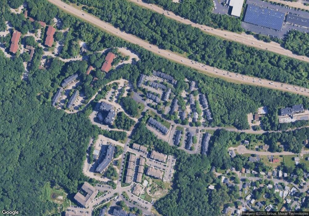
Map
Nearby Homes
- 191 Tall Oaks Dr Unit C
- 200 Burkhall St Unit 803
- 200 Burkhall St Unit 102
- 110 Burkhall St Unit H
- 120 Burkhall St Unit K
- 376 Pleasant St
- 675 Pleasant St Unit 8
- 2 Tara Dr Unit 1
- 261 Pleasant St Unit 5
- 19 Saint Margaret St
- 279 Pine St
- 1015 Washington St
- 2 Mitchell Ln Unit B
- 747 Middle St
- 966 Washington St Unit 2
- 27 Park Ave
- 215 Winter St Unit 1P
- 16 Oak Cliff Rd
- 10 Chapman St Unit 205
- 10 Chapman St Unit 202
- 189 Tall Oaks Dr Unit A
- 189 Tall Oaks Dr Unit M
- 189 Tall Oaks Dr Unit L
- 189 Tall Oaks Dr Unit K
- 189 Tall Oaks Dr Unit J
- 189 Tall Oaks Dr Unit I
- 189 Tall Oaks Dr Unit H
- 189 Tall Oaks Dr Unit G
- 189 Tall Oaks Dr Unit F
- 189 Tall Oaks Dr Unit E
- 189 Tall Oaks Dr Unit D
- 189 Tall Oaks Dr Unit C
- 189 Tall Oaks Dr Unit B
- 189 Tall Oaks Dr Unit A
- 175 Tall Oaks Dr Unit F
- 175 Tall Oaks Dr Unit E
- 175 Tall Oaks Dr Unit D
- 175 Tall Oaks Dr Unit C
- 123 Tall Oaks Dr Unit F
- 123 Tall Oaks Dr Unit E