175 Up the Creek Trail Hayesville, NC 28904
Estimated Value: $207,911 - $360,000
2
Beds
2
Baths
884
Sq Ft
$296/Sq Ft
Est. Value
About This Home
This home is located at 175 Up the Creek Trail, Hayesville, NC 28904 and is currently estimated at $261,978, approximately $296 per square foot. 175 Up the Creek Trail is a home with nearby schools including Hayesville Elementary School, Hayesville Middle School, and Hayesville High School.
Ownership History
Date
Name
Owned For
Owner Type
Purchase Details
Closed on
Mar 20, 2025
Sold by
Cox Katherine
Bought by
Cox Matthew
Current Estimated Value
Purchase Details
Closed on
Mar 25, 2019
Sold by
Sanders Kenneth C
Bought by
Cox Matthew and Cox Katherine
Purchase Details
Closed on
Aug 8, 2005
Sold by
Mihok Yalerie and Mihok John M
Bought by
Sanders Kenneth C
Home Financials for this Owner
Home Financials are based on the most recent Mortgage that was taken out on this home.
Original Mortgage
$127,000
Interest Rate
5.54%
Mortgage Type
Adjustable Rate Mortgage/ARM
Create a Home Valuation Report for This Property
The Home Valuation Report is an in-depth analysis detailing your home's value as well as a comparison with similar homes in the area
Home Values in the Area
Average Home Value in this Area
Purchase History
| Date | Buyer | Sale Price | Title Company |
|---|---|---|---|
| Cox Matthew | -- | None Listed On Document | |
| Cox Matthew | -- | None Listed On Document | |
| Cox Matthew | $46,515 | None Available | |
| Sanders Kenneth C | $127,000 | -- |
Source: Public Records
Mortgage History
| Date | Status | Borrower | Loan Amount |
|---|---|---|---|
| Previous Owner | Sanders Kenneth C | $127,000 |
Source: Public Records
Tax History Compared to Growth
Tax History
| Year | Tax Paid | Tax Assessment Tax Assessment Total Assessment is a certain percentage of the fair market value that is determined by local assessors to be the total taxable value of land and additions on the property. | Land | Improvement |
|---|---|---|---|---|
| 2024 | $564 | $98,700 | $23,400 | $75,300 |
| 2023 | $454 | $98,700 | $23,400 | $75,300 |
| 2022 | $454 | $98,700 | $23,400 | $75,300 |
| 2021 | $454 | $98,700 | $23,400 | $75,300 |
| 2020 | $454 | $98,700 | $23,400 | $75,300 |
| 2019 | $454 | $98,700 | $23,400 | $75,300 |
| 2018 | $454 | $98,700 | $23,400 | $75,300 |
| 2016 | -- | $101,166 | $30,938 | $70,228 |
| 2015 | -- | $101,166 | $30,938 | $70,228 |
| 2014 | -- | $99,209 | $30,938 | $68,271 |
Source: Public Records
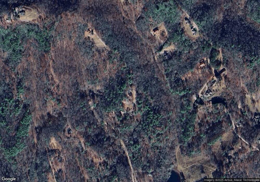
Map
Nearby Homes
- 355 Up the Creek Trail
- 498 Old Dyer Dr
- 558 Old Dyer Dr
- 36 Woodcastle Ln
- B Sweetwater Bend Dr
- A Sweetwater Bend Dr
- 00 Crockett Mountain Ln
- Trac I 2 Crockett Mountain Ln
- 501 Qualla Terrace
- 5 lots Ali Dr
- 203 Silvercrest Dr
- TR 3A Qualla Rd
- 2067 Qualla Rd
- 364 Hiawassee St
- 84 Vella Ridge Ln
- 260 Moore View Homes Rd
- Lot 3 Riverbend Trail
- 237 Laurel Creek Ln
- 55 Stone Ridge Dr
- 307 Hiawassee St
- 115 Up the Creek Trail
- 92 Up the Creek Trail
- 87 Up the Creek Trail
- 380 Passmore Ln
- 73 Up the Creek Trail
- 48 Up the Creek Trail
- 78 Up the Creek Trail
- 9 Up the Creek Trail Unit 9/10
- 242 Passmore Ln
- 487 Old Dyer Dr
- 0 Passmore Ln
- 208 Lazy Canyon Ln
- 398 Carroll Mountain Dr
- 304 Lazy Canyon Ln
- 541 Old Dyer Dr
- 411 Carroll Mountain Dr
- 541 Old Dyer Dr
- 699 Old Dyer Dr
- 564 Old Dyer Dr
- 1378 Qualla Rd