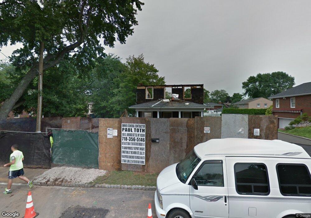
175 W Cedarview Ave Staten Island, NY 10306
Richmondtown NeighborhoodEstimated Value: $976,000 - $1,172,000
3
Beds
1
Bath
1,300
Sq Ft
$796/Sq Ft
Est. Value
About This Home
This home is located at 175 W Cedarview Ave, Staten Island, NY 10306 and is currently estimated at $1,034,720, approximately $795 per square foot. 175 W Cedarview Ave is a home located in Richmond County with nearby schools including P.S. 23 Richmondtown, Myra S. Barnes Intermediate School 24, and Susan E Wagner High School.
Ownership History
Date
Name
Owned For
Owner Type
Purchase Details
Closed on
Jun 21, 2002
Sold by
Margiotta Mark and Margiotta Jean C
Bought by
Pocchia James M and Demonaco Marykim
Current Estimated Value
Home Financials for this Owner
Home Financials are based on the most recent Mortgage that was taken out on this home.
Original Mortgage
$282,400
Interest Rate
6.57%
Mortgage Type
Purchase Money Mortgage
Create a Home Valuation Report for This Property
The Home Valuation Report is an in-depth analysis detailing your home's value as well as a comparison with similar homes in the area
Home Values in the Area
Average Home Value in this Area
Purchase History
| Date | Buyer | Sale Price | Title Company |
|---|---|---|---|
| Pocchia James M | $353,000 | Newell & Talarico |
Source: Public Records
Mortgage History
| Date | Status | Borrower | Loan Amount |
|---|---|---|---|
| Previous Owner | Pocchia James M | $282,400 |
Source: Public Records
Tax History Compared to Growth
Tax History
| Year | Tax Paid | Tax Assessment Tax Assessment Total Assessment is a certain percentage of the fair market value that is determined by local assessors to be the total taxable value of land and additions on the property. | Land | Improvement |
|---|---|---|---|---|
| 2025 | $11,424 | $60,900 | $14,919 | $45,981 |
| 2024 | $11,424 | $56,880 | $15,501 | $41,379 |
| 2023 | $10,955 | $53,942 | $12,501 | $41,441 |
| 2022 | $10,159 | $60,060 | $15,420 | $44,640 |
| 2021 | $10,333 | $55,200 | $15,420 | $39,780 |
| 2020 | $10,393 | $55,620 | $15,420 | $40,200 |
| 2019 | $9,968 | $58,440 | $15,420 | $43,020 |
| 2018 | $8,866 | $44,952 | $13,704 | $31,248 |
| 2017 | $8,345 | $42,408 | $13,675 | $28,733 |
| 2016 | $7,870 | $40,917 | $11,283 | $29,634 |
| 2015 | $7,433 | $40,917 | $12,691 | $28,226 |
| 2014 | $7,433 | $40,320 | $15,000 | $25,320 |
Source: Public Records
Map
Nearby Homes
- 394 Clarke Ave
- 203 Center St
- 312 Barbara St
- 35 Kensico St
- 219 Ardsley St
- 265 Barbara St Unit 275
- 197 Ardsley St
- 92 Boyce Ave
- 393 Saint Andrews Rd
- 98 Cotter Ave
- 256 Thomas St
- 236 Amber St
- 31 Franklin Ln Unit A
- 31 Franklin Ln Unit B
- 33 Boyce Ave
- 443 Edinboro Rd
- 174 Barbara St
- 50 Dina Ct
- 15 Corona Ave
- 61 Natick St
- 167 W Cedarview Ave
- 185 W Cedarview Ave
- 366 Ardsley St
- 172 W Cedarview Ave
- 189 W Cedarview Ave
- 170 W Cedarview Ave
- 358 Ardsley St
- 180 W Cedarview Ave
- 20 Gilbert St
- 164 W Cedarview Ave
- 354 Ardsley St
- 53 Saint Patricks Place
- 161 W Cedarview Ave
- 346 Ardsley St
- 367 Clarke Ave
- 369 Ardsley St
- 359 Clarke Ave
- 160 W Cedarview Ave
- 365 Ardsley St
- 340 Ardsley St